1121 Cross Creek Ct Sheridan, WY 82801
Estimated Value: $1,392,000 - $1,529,844
5
Beds
5
Baths
5,616
Sq Ft
$260/Sq Ft
Est. Value
About This Home
This home is located at 1121 Cross Creek Ct, Sheridan, WY 82801 and is currently estimated at $1,460,922, approximately $260 per square foot. 1121 Cross Creek Ct is a home.
Ownership History
Date
Name
Owned For
Owner Type
Purchase Details
Closed on
Jun 27, 2018
Sold by
Marie Mindy and Todd Travis Alan
Bought by
Todd Mindy Marie and Todd Travis Alan
Current Estimated Value
Home Financials for this Owner
Home Financials are based on the most recent Mortgage that was taken out on this home.
Original Mortgage
$635,000
Outstanding Balance
$545,586
Interest Rate
4.12%
Mortgage Type
Adjustable Rate Mortgage/ARM
Estimated Equity
$915,336
Purchase Details
Closed on
Jan 22, 2010
Sold by
Warren June E
Bought by
Staben Kurt N
Create a Home Valuation Report for This Property
The Home Valuation Report is an in-depth analysis detailing your home's value as well as a comparison with similar homes in the area
Home Values in the Area
Average Home Value in this Area
Purchase History
| Date | Buyer | Sale Price | Title Company |
|---|---|---|---|
| Todd Mindy Marie | -- | Sheridan County Title Insura | |
| Staben Kurt N | -- | None Available |
Source: Public Records
Mortgage History
| Date | Status | Borrower | Loan Amount |
|---|---|---|---|
| Open | Todd Mindy Marie | $635,000 |
Source: Public Records
Tax History Compared to Growth
Tax History
| Year | Tax Paid | Tax Assessment Tax Assessment Total Assessment is a certain percentage of the fair market value that is determined by local assessors to be the total taxable value of land and additions on the property. | Land | Improvement |
|---|---|---|---|---|
| 2025 | $9,742 | $124,399 | $41,087 | $83,312 |
| 2024 | $9,742 | $144,333 | $48,932 | $95,401 |
| 2023 | $9,479 | $140,426 | $45,534 | $94,892 |
| 2022 | $7,836 | $116,095 | $37,364 | $78,731 |
| 2021 | $6,487 | $96,110 | $28,669 | $67,441 |
| 2020 | $6,039 | $89,467 | $23,120 | $66,347 |
| 2019 | $6,103 | $90,417 | $25,509 | $64,908 |
| 2018 | $4,108 | $60,866 | $23,809 | $37,057 |
| 2017 | $1,596 | $23,129 | $23,129 | $0 |
| 2015 | $1,123 | $16,133 | $16,133 | $0 |
| 2014 | $1,123 | $16,133 | $16,133 | $0 |
| 2013 | -- | $16,133 | $16,133 | $0 |
Source: Public Records
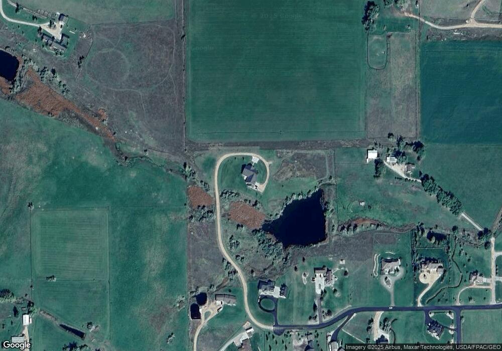
Map
Nearby Homes
- 91 Wyoming 335
- 20 Roberts Dr
- 8 Buckskin Dr
- 21 Wishbone Way
- 19 Spring Creek Ln
- 3 Thunderbird Dr
- 5 Oakmont Ct
- Tbd Wagon Wheel Court Lot F11
- Tbd Wagon Wheel Ct Lot F10 & F11
- TBD Wagon Wheel Ct Unit F10
- TBD Wagon Wheel Ct Unit F11
- TBD Wagon Wheel Ct Unit Lot 1
- TBD Wagon Wheel Ct Unit Lot 2
- 96 Canvasback Rd
- 3 Mallard Rd
- 4 Mallard Rd
- 1 Deer Haven Dr
- 21 Eagle Ridge Dr
- TBD Powder Horn Rd
- TBD Powder Horn Rd Unit MNR 24 Lot 1
- 1123 Cross Creek Ct
- 1125 Cross Creek Ct
- 37 Box Cross Rd
- 15 Anderson Ln
- 35 Box Cross Rd
- 1122 Cross Creek Ct
- 1124 Cross Creek Ct
- 1129 Cross Creek Ct
- Lot 13 Cross Creek Ct
- 0 Cross Creek Ct Unit Lot 15
- Lot 2 Cross Creek Ct
- Lot 3 Cross Creek Ct
- Lot 1 Cross Creek Ct
- 1126 Cross Creek Ct
- 26 Box Cross Rd
- 1128 Cross Creek Ct
- 32 Box Cross Rd
- 1131 Cross Creek Ct
- 1130 Cross Creek Ct
- 48 Box Cross Rd