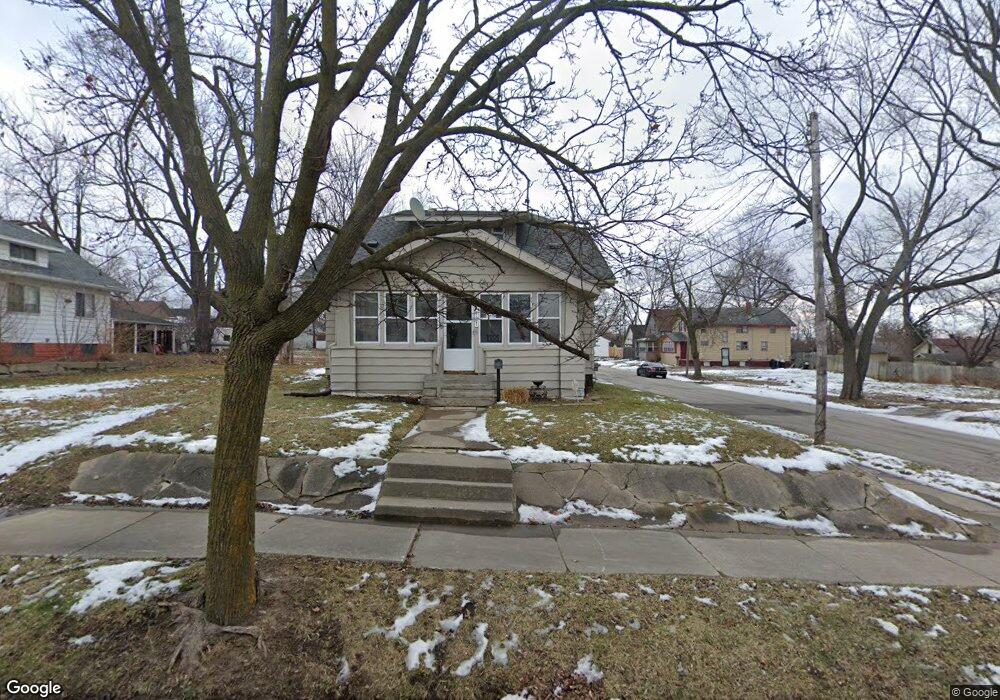
1121 Durand St Unit Bldg-Unit Flint, MI 48503
Southwest Flint NeighborhoodEstimated Value: $70,000 - $95,000
4
Beds
2
Baths
1,459
Sq Ft
$57/Sq Ft
Est. Value
About This Home
This home is located at 1121 Durand St Unit Bldg-Unit, Flint, MI 48503 and is currently estimated at $83,865, approximately $57 per square foot. 1121 Durand St Unit Bldg-Unit is a home located in Genesee County with nearby schools including Eisenhower School, Flint Southwestern Classical Academy, and St John Vianney Catholic School.
Ownership History
Date
Name
Owned For
Owner Type
Purchase Details
Closed on
Jun 27, 2019
Sold by
Federal Home Loan Mortgage Corporation
Bought by
Hornbrook Homes Llc
Current Estimated Value
Purchase Details
Closed on
May 16, 2019
Sold by
Specialized Loan Servicing Llc
Bought by
Federal Home Loan Mortgage Corporation
Purchase Details
Closed on
May 1, 2019
Sold by
Preston Robert L and Preston Marcella J
Bought by
Specialized Loan Servicing Llc
Purchase Details
Closed on
Aug 21, 2007
Sold by
Hsbc Bank Usa
Bought by
Preston Robert L and Preston Marcella J
Home Financials for this Owner
Home Financials are based on the most recent Mortgage that was taken out on this home.
Original Mortgage
$39,920
Interest Rate
6.71%
Mortgage Type
Purchase Money Mortgage
Purchase Details
Closed on
Nov 22, 2006
Sold by
Brown Charles A and Brown Celestina A
Bought by
Hsbc Bank Usa
Create a Home Valuation Report for This Property
The Home Valuation Report is an in-depth analysis detailing your home's value as well as a comparison with similar homes in the area
Home Values in the Area
Average Home Value in this Area
Purchase History
| Date | Buyer | Sale Price | Title Company |
|---|---|---|---|
| Hornbrook Homes Llc | $12,500 | None Available | |
| Federal Home Loan Mortgage Corporation | -- | None Available | |
| Specialized Loan Servicing Llc | $12,480 | None Available | |
| Preston Robert L | $49,900 | Rels Tit | |
| Hsbc Bank Usa | $106,105 | None Available |
Source: Public Records
Mortgage History
| Date | Status | Borrower | Loan Amount |
|---|---|---|---|
| Previous Owner | Preston Robert L | $39,920 |
Source: Public Records
Tax History Compared to Growth
Tax History
| Year | Tax Paid | Tax Assessment Tax Assessment Total Assessment is a certain percentage of the fair market value that is determined by local assessors to be the total taxable value of land and additions on the property. | Land | Improvement |
|---|---|---|---|---|
| 2025 | $1,346 | $25,500 | $0 | $0 |
| 2024 | $1,242 | $25,700 | $0 | $0 |
| 2023 | $1,210 | $18,900 | $0 | $0 |
| 2022 | $0 | $16,300 | $0 | $0 |
| 2021 | $1,229 | $14,600 | $0 | $0 |
| 2020 | $1,126 | $13,100 | $0 | $0 |
| 2019 | $1,011 | $13,000 | $0 | $0 |
| 2018 | $1,005 | $11,500 | $0 | $0 |
| 2017 | $979 | $0 | $0 | $0 |
| 2016 | $972 | $0 | $0 | $0 |
| 2015 | -- | $0 | $0 | $0 |
| 2014 | -- | $0 | $0 | $0 |
| 2012 | -- | $14,800 | $0 | $0 |
Source: Public Records
Map
Nearby Homes
- 2124 Swayze St
- 1412 Durand St
- 1402 Woodcroft Ave
- 1505 Downey St
- 2429 Brown St
- 1202 Pershing St
- 2433 Brown St
- 1506 Downey St
- 2509 Corunna Rd
- 1926 W Court St
- 2437 Zimmerman St
- 2464 Gibson St
- 2537 Swayze St
- 1725 Lincoln Dr
- 1810 Chelsea Cir
- 2608 Cumings Ave
- 1516 Gainey Ave
- 2618 Brown St
- 1006 Hammond Ave
- 2710 Reynolds St