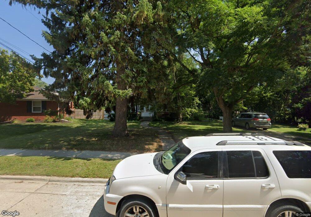
1121 Lost Dauphin Rd de Pere, WI 54115
Estimated Value: $230,000 - $322,000
3
Beds
1
Bath
1,620
Sq Ft
$166/Sq Ft
Est. Value
About This Home
This home is located at 1121 Lost Dauphin Rd, de Pere, WI 54115 and is currently estimated at $269,364, approximately $166 per square foot. 1121 Lost Dauphin Rd is a home located in Brown County with nearby schools including Westwood Elementary School, West De Pere Middle School, and West De Pere High School.
Ownership History
Date
Name
Owned For
Owner Type
Purchase Details
Closed on
Sep 28, 2018
Sold by
Lensmeyer Lois
Bought by
Mueller David Ann L
Current Estimated Value
Home Financials for this Owner
Home Financials are based on the most recent Mortgage that was taken out on this home.
Original Mortgage
$64,000
Outstanding Balance
$55,812
Interest Rate
4.5%
Mortgage Type
New Conventional
Estimated Equity
$213,552
Create a Home Valuation Report for This Property
The Home Valuation Report is an in-depth analysis detailing your home's value as well as a comparison with similar homes in the area
Home Values in the Area
Average Home Value in this Area
Purchase History
| Date | Buyer | Sale Price | Title Company |
|---|---|---|---|
| Mueller David Ann L | $80,000 | Lawyers Title |
Source: Public Records
Mortgage History
| Date | Status | Borrower | Loan Amount |
|---|---|---|---|
| Open | Mueller David Ann L | $64,000 |
Source: Public Records
Tax History Compared to Growth
Tax History
| Year | Tax Paid | Tax Assessment Tax Assessment Total Assessment is a certain percentage of the fair market value that is determined by local assessors to be the total taxable value of land and additions on the property. | Land | Improvement |
|---|---|---|---|---|
| 2024 | $3,147 | $222,600 | $41,800 | $180,800 |
| 2023 | $2,929 | $202,400 | $41,800 | $160,600 |
| 2022 | $2,953 | $182,400 | $41,800 | $140,600 |
| 2021 | $2,775 | $158,400 | $34,900 | $123,500 |
| 2020 | $2,845 | $149,000 | $34,900 | $114,100 |
| 2019 | $2,588 | $138,000 | $34,900 | $103,100 |
| 2018 | $2,491 | $128,100 | $34,900 | $93,200 |
| 2017 | $2,336 | $116,100 | $34,900 | $81,200 |
| 2016 | $2,337 | $116,100 | $34,900 | $81,200 |
| 2015 | $2,410 | $111,100 | $34,900 | $76,200 |
| 2014 | $2,354 | $111,100 | $34,900 | $76,200 |
| 2013 | $2,354 | $111,100 | $34,900 | $76,200 |
Source: Public Records
Map
Nearby Homes
- 806 4th St
- 717 4th St
- 634 Grant St
- 1509 S 7th St
- 830 S Superior St Unit 832
- 235 Autumn Dr
- 978 Saint Anthony Dr Unit 2
- 978 Saint Anthony Dr Unit 980
- 555 Main Ave Unit 110
- 555 Main Ave Unit 104
- 555 Main Ave Unit 111
- 555 Main Ave Unit 206
- 555 Main Ave Unit 113
- 657 Reid St
- 1002 Aldrin St
- 1734 Revere Trail
- 0 N Stellita Cir Unit 50263856
- 0 N Stellita Cir Unit 50263853
- 2080 Greenleaf Rd
- 1120 Cardinal St
- 245 Belle Ave
- 1131 Lost Dauphin Rd
- 237 Belle Ave
- 1120 Lost Dauphin Rd
- 1108 4th St
- 1122 Lost Dauphin Rd
- 1135 Lost Dauphin Rd
- 232 Belle Ave
- 1201 Lost Dauphin Rd
- 227 Belle Ave
- 1102 4th St
- 238 Belle Ave
- 1205 Lost Dauphin Rd
- 1213 Lost Dauphin Rd
- 1017 4th St Unit 1017
- 221 Belle Ave
- 409 Lilac Ln
- 1025 Third St
- 1012 Third St
- 1012 Third St