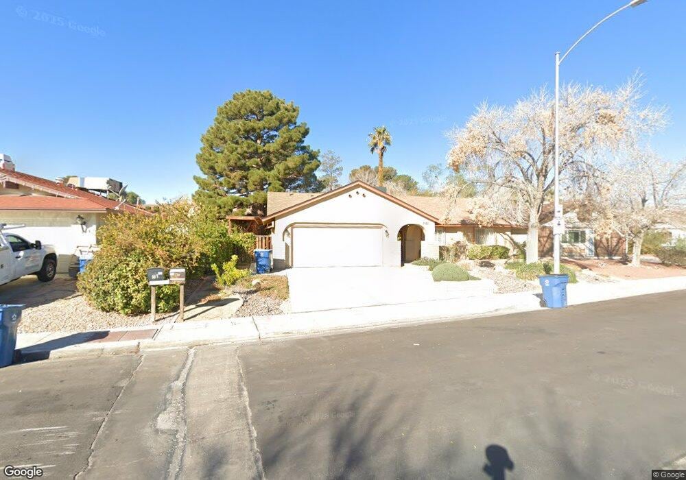
1121 Woodbridge Dr Las Vegas, NV 89108
Twin Lakes NeighborhoodEstimated Value: $358,000 - $416,000
3
Beds
2
Baths
1,597
Sq Ft
$238/Sq Ft
Est. Value
About This Home
This home is located at 1121 Woodbridge Dr, Las Vegas, NV 89108 and is currently estimated at $380,445, approximately $238 per square foot. 1121 Woodbridge Dr is a home located in Clark County with nearby schools including Twin Lakes Elementary School, Robert O Gibson Middle School, and Western High School.
Ownership History
Date
Name
Owned For
Owner Type
Purchase Details
Closed on
Feb 24, 2012
Sold by
Lloyd Barbara A
Bought by
Lloyd Barbara A and Barbara A Lloyd Trust
Current Estimated Value
Purchase Details
Closed on
Feb 22, 1994
Sold by
Herchak John M
Bought by
Lloyd Barbara A
Home Financials for this Owner
Home Financials are based on the most recent Mortgage that was taken out on this home.
Original Mortgage
$80,000
Interest Rate
7.21%
Create a Home Valuation Report for This Property
The Home Valuation Report is an in-depth analysis detailing your home's value as well as a comparison with similar homes in the area
Home Values in the Area
Average Home Value in this Area
Purchase History
| Date | Buyer | Sale Price | Title Company |
|---|---|---|---|
| Lloyd Barbara A | -- | None Available | |
| Lloyd Barbara A | $100,000 | Fidelity National Title |
Source: Public Records
Mortgage History
| Date | Status | Borrower | Loan Amount |
|---|---|---|---|
| Closed | Lloyd Barbara A | $80,000 |
Source: Public Records
Tax History Compared to Growth
Tax History
| Year | Tax Paid | Tax Assessment Tax Assessment Total Assessment is a certain percentage of the fair market value that is determined by local assessors to be the total taxable value of land and additions on the property. | Land | Improvement |
|---|---|---|---|---|
| 2025 | $1,384 | $65,643 | $32,900 | $32,743 |
| 2024 | $1,282 | $65,643 | $32,900 | $32,743 |
| 2023 | $1,282 | $68,588 | $36,050 | $32,538 |
| 2022 | $1,187 | $63,944 | $33,600 | $30,344 |
| 2021 | $1,100 | $59,158 | $29,750 | $29,408 |
| 2020 | $1,018 | $56,616 | $26,950 | $29,666 |
| 2019 | $954 | $55,278 | $25,550 | $29,728 |
| 2018 | $911 | $52,247 | $23,100 | $29,147 |
| 2017 | $1,511 | $46,103 | $16,100 | $30,003 |
| 2016 | $854 | $42,396 | $11,550 | $30,846 |
| 2015 | $851 | $41,367 | $10,500 | $30,867 |
| 2014 | $826 | $24,440 | $7,000 | $17,440 |
Source: Public Records
Map
Nearby Homes
- 1317 Pyramid Dr
- 1325 Pyramid Dr
- 1300 Oak Tree Ln
- 3616 Roseglen Ct
- 1112 Hazard Ave
- 1313 Purple Sage Ave
- 812 Pyramid Dr
- 3871 Mountain Trail
- 821 Mar Jay Ct
- 1101 Silver Lake Dr
- 800 Langtry Dr
- 1225 Arrowhead Ave
- 3541 Arcadian Sea St
- 3621 Arcadian Sea St
- 3541 Alpheus River Ave
- 1204 Arrowhead Ave
- 3534 Alpheus River Ave
- 3634 Tripoli Cove Ave
- 3610 Tripoli Cove Ave
- 3494 Alpheus River Ave
- 1117 Woodbridge Dr
- 1201 Woodbridge Dr
- 3612 Hillsdale Ct
- 1205 Woodbridge Dr
- 3616 Hillsdale Ct
- 1200 Woodbridge Dr
- 1120 Woodbridge Dr
- 1209 Woodbridge Dr
- 1109 Woodbridge Dr
- 1204 Woodbridge Dr
- 1116 Woodbridge Dr
- 1200 Oak Tree Ln
- 3617 Hillsdale Ct
- 1116 Oak Tree Ln
- 3613 Hillsdale Ct
- 1208 Woodbridge Dr
- 1112 Oak Tree Ln
- 1112 Woodbridge Dr
- 3613 Woodglen Ct
- 1105 Woodbridge Dr