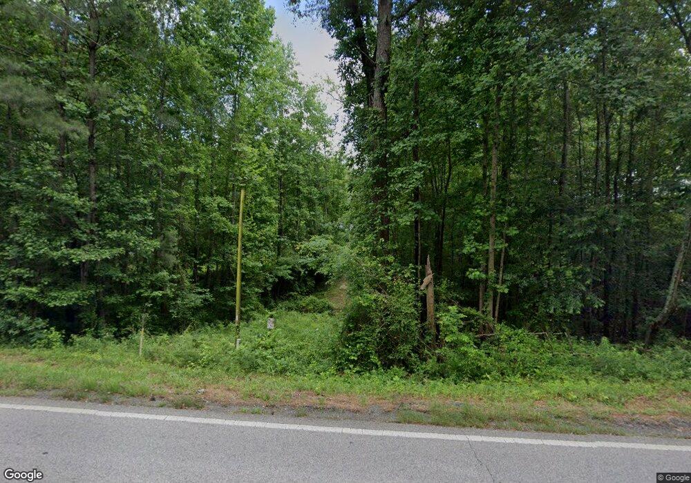
11210 Ga Highway 34 Franklin, GA 30217
Estimated Value: $119,000 - $222,000
4
Beds
2
Baths
1,120
Sq Ft
$150/Sq Ft
Est. Value
About This Home
This home is located at 11210 Ga Highway 34, Franklin, GA 30217 and is currently estimated at $168,028, approximately $150 per square foot. 11210 Ga Highway 34 is a home located in Heard County with nearby schools including Heard County High School.
Ownership History
Date
Name
Owned For
Owner Type
Purchase Details
Closed on
May 24, 2024
Sold by
Miller Harold
Bought by
Miller B Thomas
Current Estimated Value
Purchase Details
Closed on
Mar 7, 2017
Sold by
Pope Betty H
Bought by
Miller Harold
Purchase Details
Closed on
Apr 29, 2011
Sold by
Pope Betty H As Executrix and Hulet Wayne
Bought by
Pope Betty H
Purchase Details
Closed on
Nov 18, 2002
Sold by
Pope Hulet W
Bought by
Pope Betty H
Purchase Details
Closed on
Jan 17, 1955
Sold by
Hopson Joe D
Bought by
Pope Hulet W
Create a Home Valuation Report for This Property
The Home Valuation Report is an in-depth analysis detailing your home's value as well as a comparison with similar homes in the area
Home Values in the Area
Average Home Value in this Area
Purchase History
| Date | Buyer | Sale Price | Title Company |
|---|---|---|---|
| Miller B Thomas | $75,000 | -- | |
| Miller Harold | $21,000 | -- | |
| Pope Betty H | -- | -- | |
| Pope Betty H | -- | -- | |
| Pope Hulet W | -- | -- |
Source: Public Records
Tax History Compared to Growth
Tax History
| Year | Tax Paid | Tax Assessment Tax Assessment Total Assessment is a certain percentage of the fair market value that is determined by local assessors to be the total taxable value of land and additions on the property. | Land | Improvement |
|---|---|---|---|---|
| 2024 | $710 | $35,223 | $9,205 | $26,018 |
| 2023 | $577 | $27,653 | $7,671 | $19,982 |
| 2022 | $539 | $25,833 | $5,589 | $20,244 |
| 2021 | $471 | $21,443 | $5,589 | $15,854 |
| 2020 | $473 | $21,293 | $5,589 | $15,704 |
| 2019 | $473 | $21,293 | $5,589 | $15,704 |
| 2018 | $482 | $21,293 | $5,589 | $15,704 |
| 2017 | $448 | $19,819 | $4,255 | $15,564 |
| 2016 | $448 | $19,819 | $4,255 | $15,564 |
| 2015 | -- | $17,829 | $7,503 | $10,326 |
| 2014 | -- | $17,844 | $7,503 | $10,341 |
| 2013 | -- | $18,931 | $7,503 | $11,428 |
Source: Public Records
Map
Nearby Homes
- The Lambert Plan at Patterson Park
- The Bradford Plan at Patterson Park
- The Millie Plan at Patterson Park
- The Coleman Plan at Patterson Park
- The Northern Hills Plan at Patterson Park
- The Nelson Plan at Patterson Park
- 0 Bevis Rd Parcel 5
- 0 Bevis Rd Parcel 4
- 125 Patterson Dr
- 155 Patterson Dr
- 25 Patterson Dr
- 105 Patterson Dr
- 23 Rivers Edge Ln Unit LOT 11
- 21 Rivers Edge Ln Unit LOT 12
- 2176 Franklin Pkwy
- 22 Rivers Edge Ln Unit LOT 7
- 12 Rivers Edge Ln Unit LOT 2
- 24 Rivers Edge Ln Unit LOT 8
- 20 Rivers Edge Ln Unit LOT 6
- 27 Rivers Edge Ln Unit LOT 9
- 11214 Ga Highway 34
- 11096 Ga Highway 34
- 11290 Ga Highway 34
- 11214 Georgia 34
- 11151 Ga Highway 34
- 11421 Ga Highway 100
- 11531 Ga Highway 100
- 11531 Ga Highway 100
- 11531 Ga Highway 100
- 11531 Ga Highway 100
- 11531 Ga Highway 100
- 4960 Ga Highway 100
- 11025 Ga Highway 34
- 11025 Ga Highway 34
- 11350 Ga Highway 34
- 11350 Ga Highway 100
- 200069 Highway 34
- 200069 Hwy 34
- 11380 Georgia 100
- 11481 Ga Highway 100
