11210 W Highway 290 Austin, TX 78737
--
Bed
--
Bath
47,530
Sq Ft
16.07
Acres
About This Home
This home is located at 11210 W Highway 290, Austin, TX 78737. 11210 W Highway 290 is a home located in Travis County with nearby schools including Baldwin Elementary School, Small Middle School, and James Bowie High School.
Ownership History
Date
Name
Owned For
Owner Type
Purchase Details
Closed on
Feb 26, 2004
Sold by
Kussad Isam A and Kussad Joyce A
Bought by
Flat Top Lp
Home Financials for this Owner
Home Financials are based on the most recent Mortgage that was taken out on this home.
Original Mortgage
$465,000
Outstanding Balance
$217,321
Interest Rate
5.67%
Mortgage Type
Commercial
Create a Home Valuation Report for This Property
The Home Valuation Report is an in-depth analysis detailing your home's value as well as a comparison with similar homes in the area
Home Values in the Area
Average Home Value in this Area
Purchase History
| Date | Buyer | Sale Price | Title Company |
|---|---|---|---|
| Flat Top Lp | -- | Austin Title Company |
Source: Public Records
Mortgage History
| Date | Status | Borrower | Loan Amount |
|---|---|---|---|
| Open | Flat Top Lp | $465,000 |
Source: Public Records
Tax History Compared to Growth
Tax History
| Year | Tax Paid | Tax Assessment Tax Assessment Total Assessment is a certain percentage of the fair market value that is determined by local assessors to be the total taxable value of land and additions on the property. | Land | Improvement |
|---|---|---|---|---|
| 2025 | $131,989 | $10,249,705 | $6,828,063 | $3,421,642 |
| 2023 | $116,486 | $8,300,000 | $6,828,063 | $1,471,937 |
| 2022 | $127,692 | $8,200,000 | $4,902,199 | $3,297,801 |
| 2021 | $131,692 | $7,743,513 | $4,902,199 | $2,841,314 |
| 2020 | $124,724 | $7,000,000 | $1,260,565 | $5,739,435 |
| 2018 | $111,091 | $5,228,300 | $1,260,565 | $3,967,735 |
| 2017 | $85,476 | $4,526,533 | $1,260,565 | $3,265,968 |
| 2016 | $82,122 | $4,348,886 | $1,050,471 | $3,298,415 |
| 2015 | $34,673 | $2,862,498 | $700,314 | $2,162,184 |
| 2014 | $34,673 | $1,742,638 | $700,314 | $1,042,324 |
Source: Public Records
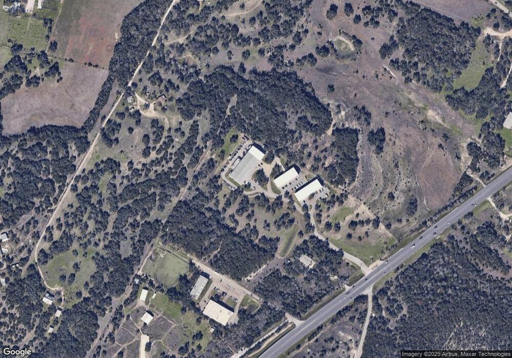
Map
Nearby Homes
- TBD Highway 290
- 11420 Rim Rock Trail
- 11205 Oak Branch Dr
- 407 Stone View Trail
- 609 Stone View Trail
- 199 Limestone Trail
- 394 Ledge Stone Dr
- 370 Ledge Stone Dr
- 11809 Oak Branch Dr
- 188 Rock Vista Run
- 10133 Oliver Dr
- 519 Drury Ln
- 9909 Oliver Dr
- 33 Long Creek Rd
- 11601 Morningsun Dr
- 12605 Fitzhugh Rd
- 16 Tall Oaks Trail
- 134 Summer Square Dr
- 12800 Old Baldy Trail
- 9614 Bronzewood Dr
- 11210 W Highway 290 Unit B-100
- 11212 W U S Hwy 290 S
- 11212 W Uhwy 290 S
- 10 Acres Rim Rock Trail
- 10 Acres On Rim Rock Trail
- 10 ACRES Rim Rock Trail
- 21 Acres Rimrock Trl Rimrock
- 21 Acres Rim Rock Trail
- 11.39 Acres Rim Rock Trail
- 11.39 acres Rim Rock Trail
- 11400 W Highway 290
- 11097 Fitzhugh Rd
- 11212 W Highway 290
- 11212 W Highway 290
- 11500 W Highway 290
- 11500 W U S Hwy 290 Hwy
- 11219 Rutter Ln
- 11101 W Highway 290
- 11091 Fitzhugh Rd
- 11017 Fitzhugh Rd