11212 Highway 100 Hogansville, GA 30230
Estimated Value: $534,000 - $841,046
2
Beds
2
Baths
1,756
Sq Ft
$392/Sq Ft
Est. Value
About This Home
This home is located at 11212 Highway 100, Hogansville, GA 30230 and is currently estimated at $687,523, approximately $391 per square foot. 11212 Highway 100 is a home located in Meriwether County with nearby schools including George E. Washington Elementary School.
Ownership History
Date
Name
Owned For
Owner Type
Purchase Details
Closed on
Aug 29, 2006
Sold by
Not Provided
Bought by
Waldrop Phil L and Waldrop Mary K
Current Estimated Value
Purchase Details
Closed on
Mar 13, 1980
Sold by
Rowe Rowe J and Rowe W
Bought by
Howard Howard C and Howard Loise T
Purchase Details
Closed on
Jan 1, 1976
Sold by
Rowe Rowe J and Rowe W
Bought by
Rowe Rowe J and Rowe W
Purchase Details
Closed on
Jul 4, 1957
Sold by
Humphries Otis and Humphries E
Bought by
Rowe Rowe J and Rowe W
Purchase Details
Closed on
Jan 1, 1956
Sold by
Sims Bonnie H
Bought by
Humphries Otis and Humphries E
Create a Home Valuation Report for This Property
The Home Valuation Report is an in-depth analysis detailing your home's value as well as a comparison with similar homes in the area
Home Values in the Area
Average Home Value in this Area
Purchase History
| Date | Buyer | Sale Price | Title Company |
|---|---|---|---|
| Waldrop Phil L | $745,000 | -- | |
| Howard Howard C | -- | -- | |
| Rowe Rowe J | $80,000 | -- | |
| Rowe Rowe J | -- | -- | |
| Humphries Otis | -- | -- |
Source: Public Records
Tax History Compared to Growth
Tax History
| Year | Tax Paid | Tax Assessment Tax Assessment Total Assessment is a certain percentage of the fair market value that is determined by local assessors to be the total taxable value of land and additions on the property. | Land | Improvement |
|---|---|---|---|---|
| 2024 | $3,436 | $268,840 | $170,720 | $98,120 |
| 2023 | $3,556 | $268,840 | $170,720 | $98,120 |
| 2022 | $3,490 | $237,040 | $170,720 | $66,320 |
| 2021 | $3,510 | $237,040 | $170,720 | $66,320 |
| 2020 | $3,503 | $237,040 | $170,720 | $66,320 |
| 2019 | $8,088 | $229,996 | $170,720 | $59,276 |
| 2018 | $3,093 | $229,996 | $170,720 | $59,276 |
| 2017 | $3,098 | $229,996 | $170,720 | $59,276 |
| 2016 | $2,786 | $229,996 | $170,720 | $59,276 |
| 2015 | $2,764 | $229,996 | $170,720 | $59,276 |
| 2014 | $2,739 | $229,996 | $170,720 | $59,276 |
| 2013 | -- | $229,996 | $170,720 | $59,276 |
Source: Public Records
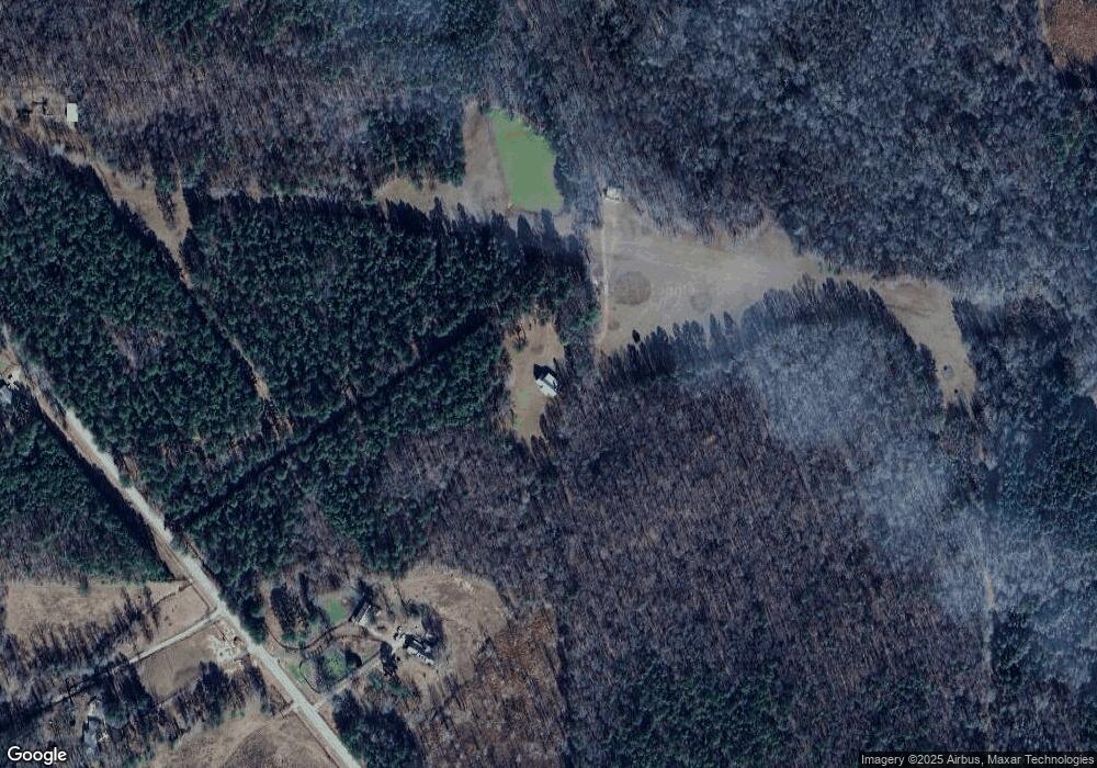
Map
Nearby Homes
- 5418 Forrest Rd
- 7133 Forrest Rd
- 3535 Forrest Rd
- 1314 Tenny Nelson Rd
- 98.81 Ellis Rd
- 2860 Sewell Rd
- 210 Perkins Place Dr Unit LOT 29
- 213 Perkins Place Dr Unit LOT 23
- 217 Perkins Place Dr Unit LOT 24
- 5151 Primrose Rd
- 8444 Forrest Rd
- 1501 E Main St
- 516 Tenney Nelson Rd
- 133 Percheron Rd
- 133 Percheron Rd Unit 95
- 603 Haflinger Rd Unit 22
- 605 Haflinger Rd Unit 21
- 131 Percheron Rd
- 131 Percheron Rd Unit 96
- 129 Percheron Rd
- 11032 Highway 100
- 11032 Georgia 100
- 10818 Highway 100
- 11281 Highway 100
- 11281 Georgia 100
- 11077 Highway 100
- 11077 Georgia 100
- 10911 Highway 100
- 10737 Highway 100
- 10600 Highway 100
- 10581 Georgia 100
- 10581 Highway 100
- 4400 Keith Rd
- 4406 Keith Rd
- 4406 Keith Rd Unit 6
- 4402 Keith Rd Unit LOT 8
- 4408 Keith Rd Unit LOT 5
- 4400 Keith Rd Unit 9
- 4404 Keith Rd Unit 7
- 4410 Keith Rd Unit 4