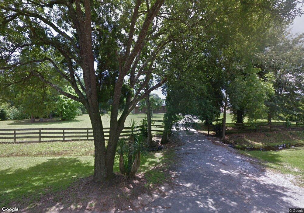
11214 Independence Rd Moss Point, MS 39562
Estimated Value: $132,401 - $186,000
Studio
2
Baths
1,240
Sq Ft
$127/Sq Ft
Est. Value
About This Home
This home is located at 11214 Independence Rd, Moss Point, MS 39562 and is currently estimated at $157,600, approximately $127 per square foot. 11214 Independence Rd is a home located in Jackson County with nearby schools including Kreole Primary Elementary School, Escatawpa Upper Elementary School, and Magnolia Middle School.
Ownership History
Date
Name
Owned For
Owner Type
Purchase Details
Closed on
Mar 6, 2023
Sold by
Lambert Bobby B
Bought by
Lambert Bobby B and Lambert Jonathan
Current Estimated Value
Purchase Details
Closed on
Apr 4, 2019
Sold by
Lambert Dirk H
Bought by
Lambert Bobby B
Purchase Details
Closed on
Oct 9, 2018
Sold by
Lambert Dirk H
Bought by
Lambert Bobby B and Presley Stanley P
Purchase Details
Closed on
Oct 4, 2010
Sold by
Jones Lambert Bobby B and Jones Lambert Thala
Bought by
Lambert Bobby B and Lambert Gina H
Create a Home Valuation Report for This Property
The Home Valuation Report is an in-depth analysis detailing your home's value as well as a comparison with similar homes in the area
Purchase History
| Date | Buyer | Sale Price | Title Company |
|---|---|---|---|
| Lambert Bobby B | -- | -- | |
| Lambert Bobby B | -- | None Listed On Document | |
| Lambert Bobby B | -- | -- | |
| Lambert Bobby B | -- | -- | |
| Lambert Bobby B | -- | -- |
Source: Public Records
Tax History
| Year | Tax Paid | Tax Assessment Tax Assessment Total Assessment is a certain percentage of the fair market value that is determined by local assessors to be the total taxable value of land and additions on the property. | Land | Improvement |
|---|---|---|---|---|
| 2025 | -- | $7,822 | $1,014 | $6,808 |
| 2024 | -- | $7,309 | $987 | $6,322 |
| 2023 | $0 | $7,309 | $987 | $6,322 |
| 2022 | $0 | $6,942 | $0 | $0 |
| 2021 | $549 | $6,942 | $6,942 | $0 |
| 2020 | $549 | $6,942 | $897 | $6,045 |
| 2019 | $549 | $6,942 | $897 | $6,045 |
| 2018 | $549 | $6,942 | $897 | $6,045 |
| 2017 | $545 | $6,942 | $897 | $6,045 |
| 2016 | $290 | $7,126 | $897 | $6,229 |
| 2015 | $270 | $66,360 | $8,970 | $57,390 |
| 2014 | $279 | $6,839 | $897 | $5,942 |
| 2013 | $279 | $6,839 | $897 | $5,942 |
Source: Public Records
Map
Nearby Homes
- 9109 Betsy Ross St
- 9121 Heather Ln
- 9140 Franklin Creek Rd
- 0 Franklin Creek Rd Unit 4109606
- 0 Franklin Creek Rd Unit 4109602
- 0 I-10 & Independence Rd
- 0 Forts Unit 3365574
- 0 Forts Unit 3365582
- 9850 Hall Rd
- 14935 Old Pascagoula Rd
- 0 Christian Acres Rd
- 11804 Ormond Rd
- 8313 Coda Rd
- 9920 Martin Young Rd
- 0 Martin Young Rd Unit 4123596
- 0 Festival Park Rd
- 10628 Oak Ave
- 11601 Lily Orchard Rd Unit 3.87
- 00 Ezell Rd
- 0 Shiprock St
- 11216 Independence Rd
- 9005 Franklin Creek Rd
- 11204 Colony Ln
- 11208 Colony Ln
- 11117 Independence Rd
- 9004 Franklin Creek Rd
- 11110 Independence Rd
- 9008 Franklin Creek Rd
- 0 Independence Rd
- 00 Independence Rd
- 11209 Colony Ln
- 9141 Heather Ln
- 11117 Colony Ln
- 9012 Franklin Creek Rd
- 11112 Independence Rd
- 11112 Independence Rd
- 9106 Franklin Creek Rd
- 9102 Heather Ln
- 9100 Franklin Creek Rd
- 11121 Laakso Rd
Your Personal Tour Guide
Ask me questions while you tour the home.