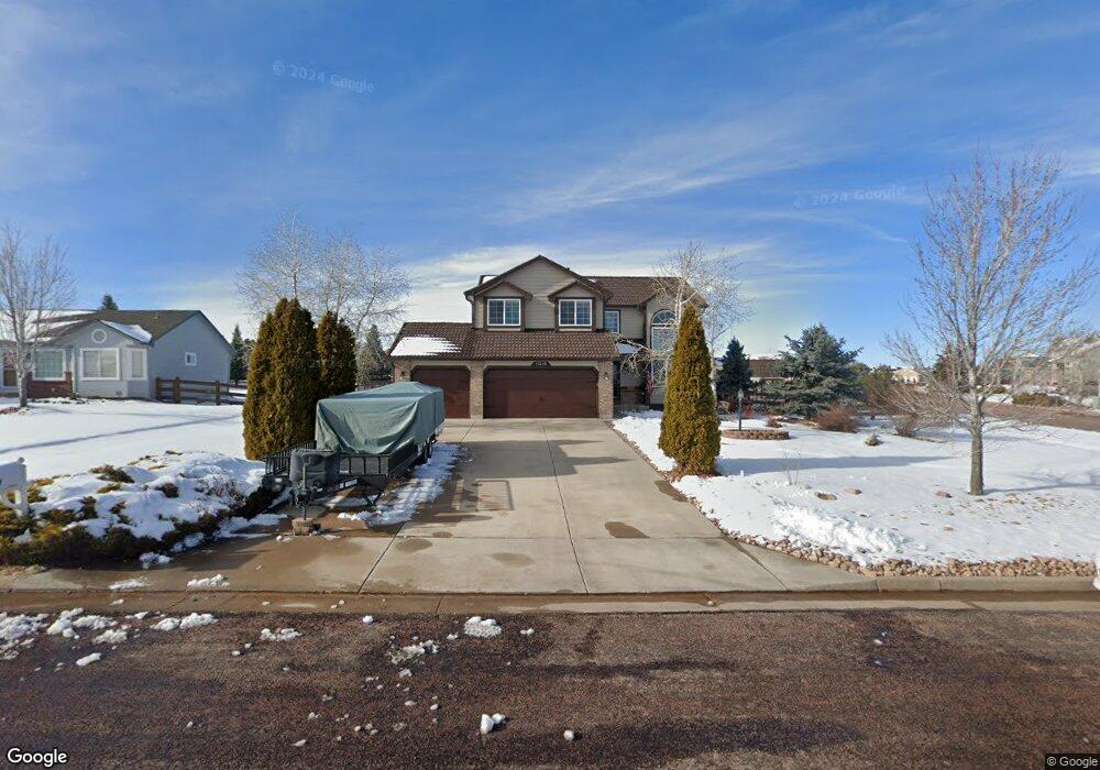
11215 Cranston Dr Peyton, CO 80831
Falcon NeighborhoodEstimated Value: $500,459 - $573,000
3
Beds
3
Baths
2,094
Sq Ft
$254/Sq Ft
Est. Value
About This Home
This home is located at 11215 Cranston Dr, Peyton, CO 80831 and is currently estimated at $531,115, approximately $253 per square foot. 11215 Cranston Dr is a home located in El Paso County with nearby schools including Bennett Ranch Elementary School, Falcon Middle School, and Falcon High School.
Ownership History
Date
Name
Owned For
Owner Type
Purchase Details
Closed on
Apr 28, 1999
Sold by
The Campbell Companies Ltd
Bought by
Ryon Kerri L and Ryon Cydney P
Current Estimated Value
Home Financials for this Owner
Home Financials are based on the most recent Mortgage that was taken out on this home.
Original Mortgage
$194,111
Outstanding Balance
$49,989
Interest Rate
7%
Mortgage Type
VA
Estimated Equity
$481,126
Purchase Details
Closed on
Oct 30, 1998
Sold by
Kempton Llc
Bought by
The Campbell Companies Ltd
Create a Home Valuation Report for This Property
The Home Valuation Report is an in-depth analysis detailing your home's value as well as a comparison with similar homes in the area
Home Values in the Area
Average Home Value in this Area
Purchase History
| Date | Buyer | Sale Price | Title Company |
|---|---|---|---|
| Ryon Kerri L | $190,305 | Unified Title Co Inc | |
| The Campbell Companies Ltd | $27,900 | Unified Title Co Inc |
Source: Public Records
Mortgage History
| Date | Status | Borrower | Loan Amount |
|---|---|---|---|
| Open | Ryon Kerri L | $194,111 |
Source: Public Records
Tax History
| Year | Tax Paid | Tax Assessment Tax Assessment Total Assessment is a certain percentage of the fair market value that is determined by local assessors to be the total taxable value of land and additions on the property. | Land | Improvement |
|---|---|---|---|---|
| 2025 | $2,702 | $33,480 | -- | -- |
| 2024 | $2,535 | $33,990 | $9,000 | $24,990 |
| 2023 | $2,535 | $33,990 | $9,000 | $24,990 |
| 2022 | $2,362 | $25,990 | $7,390 | $18,600 |
| 2021 | $2,403 | $26,730 | $7,600 | $19,130 |
| 2020 | $1,935 | $21,390 | $4,680 | $16,710 |
| 2019 | $1,891 | $21,390 | $4,680 | $16,710 |
| 2018 | $1,508 | $16,570 | $3,280 | $13,290 |
| 2017 | $1,407 | $16,570 | $3,280 | $13,290 |
| 2016 | $1,391 | $16,550 | $3,620 | $12,930 |
| 2015 | $1,459 | $16,550 | $3,620 | $12,930 |
| 2014 | $1,344 | $15,040 | $3,340 | $11,700 |
Source: Public Records
Map
Nearby Homes
- 11674 Allendale Dr
- 11280 Allendale Dr
- 11232 Allendale Dr
- 11650 Cranston Dr
- 9920 Glenellen Dr
- 10467 Pictured Rocks Dr
- 10342 Biscayne Dr
- 10488 Cedar Breaks Dr
- 10429 Cedar Breaks Dr
- 10489 Cedar Breaks Dr
- 9630 Liberty Grove Dr
- 9614 Waterbury Dr
- 12144 Point Reyes Dr
- 10068 Beckham St
- 10803 Greenbelt Dr
- 12252 Point Reyes Dr
- 10476 Ross Lake Dr
- 12784 Angelina Dr
- 12320 Grand Teton Dr
- 9808 Jaggar Way
- 11225 Cranston Dr
- 10030 Litchfield St
- 10025 Litchfield St
- 10010 Litchfield St
- 11235 Cranston Dr
- 10035 Litchfield St
- 10040 Litchfield St
- 11423 Morley Ct
- 10015 Litchfield St
- 11435 Morley Ct
- 10045 Litchfield St
- 9990 Litchfield St
- 11459 Morley Ct
- 11230 Cranston Dr
- 10005 Litchfield St
- 11245 Cranston Dr
- 11698 Allendale Dr
- 11411 Morley Ct
- 10055 Litchfield St
- 11690 Allendale Dr
Your Personal Tour Guide
Ask me questions while you tour the home.