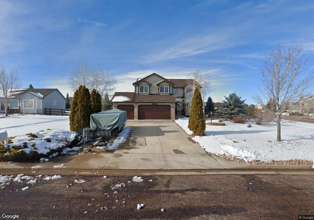
11215 Cranston Dr Peyton, CO 80831
Falcon NeighborhoodEstimated Value: $508,030 - $574,000
About This Home
This home is located at 11215 Cranston Dr, Peyton, CO 80831 and is currently estimated at $538,758, approximately $257 per square foot. 11215 Cranston Dr is a home located in El Paso County with nearby schools including Bennett Ranch Elementary School, Falcon Middle School, and Falcon High School.
Ownership History
We collect this data history from publicly available records. To have your information removed, we recommend requesting removal directly through your county’s website.
Purchase Details
Home Financials for this Owner
Home Financials are based on the most recent Mortgage that was taken out on this home.Purchase Details
Home Values in the Area
Average Home Value in this Area
Purchase History
We collect this data history from publicly available records. To have your information removed, we recommend requesting removal directly through your county’s website.
| Date | Buyer | Sale Price | Title Company |
|---|---|---|---|
| $190,305 | Unified Title Co Inc | ||
| $27,900 | Unified Title Co Inc |
Mortgage History
We collect this data history from publicly available records. To have your information removed, we recommend requesting removal directly through your county’s website.
| Date | Status | Borrower | Loan Amount |
|---|---|---|---|
| Open | $194,111 |
Tax History
We collect this data history from publicly available records. To have your information removed, we recommend requesting removal directly through your county’s website.
| Year | Tax Paid | Tax Assessment Tax Assessment Total Assessment is a certain percentage of the fair market value that is determined by local assessors to be the total taxable value of land and additions on the property. | Land | Improvement |
|---|---|---|---|---|
| 2026 | $2,843 | $33,480 | -- | -- |
| 2025 | $2,702 | $33,480 | -- | -- |
| 2024 | $2,535 | $33,990 | $9,000 | $24,990 |
| 2023 | $2,535 | $33,990 | $9,000 | $24,990 |
| 2022 | $2,362 | $25,990 | $7,390 | $18,600 |
| 2021 | $2,403 | $26,730 | $7,600 | $19,130 |
| 2020 | $1,935 | $21,390 | $4,680 | $16,710 |
| 2019 | $1,891 | $21,390 | $4,680 | $16,710 |
| 2018 | $1,508 | $16,570 | $3,280 | $13,290 |
| 2017 | $1,407 | $16,570 | $3,280 | $13,290 |
| 2016 | $1,391 | $16,550 | $3,620 | $12,930 |
| 2015 | $1,459 | $16,550 | $3,620 | $12,930 |
| 2014 | $1,344 | $15,040 | $3,340 | $11,700 |
Map
- 11260 Cressman Dr
- 9970 Litchfield St
- 11354 Asbee St
- 11232 Allendale Dr
- 11256 Allendale Dr
- 11553 Allendale Dr
- 10467 Pictured Rocks Dr
- 9920 Glenellen Dr
- 11477 Palmers Green Dr
- 10610 Pictured Rocks Dr
- 10342 Biscayne Dr
- 10643 Pictured Rocks Dr
- 11459 Cranston Dr
- 10560 Cedar Breaks Dr
- 10429 Cedar Breaks Dr
- 10489 Cedar Breaks Dr
- 10112 Jaggar Way
- 10087 Beckham St
- 12113 Point Reyes Dr
- 10054 Exeter Trail
- 10040 Litchfield St
- 10030 Litchfield St
- 11459 Morley Ct
- 11435 Morley Ct
- 11496 Morley Ct
- 11484 Morley Ct
- 10045 Litchfield St
- 10035 Litchfield St
- 10055 Litchfield St
- 11472 Morley Ct
- 11423 Morley Ct
- 11225 Cranston Dr
- 10025 Litchfield St
- 10065 Litchfield St
- 11451 Asbee St
- 11436 Morley Ct
- 11235 Cranston Dr
- 11460 Morley Ct
- 11437 Asbee St
- 11411 Morley Ct
Ask me questions while you tour the home.