11215 Tayport Loop New Port Richey, FL 34654
Waters Edge NeighborhoodEstimated Value: $504,747 - $542,000
4
Beds
3
Baths
2,655
Sq Ft
$195/Sq Ft
Est. Value
About This Home
This home is located at 11215 Tayport Loop, New Port Richey, FL 34654 and is currently estimated at $517,937, approximately $195 per square foot. 11215 Tayport Loop is a home located in Pasco County with nearby schools including River Ridge High School, Cypress Elementary School, and River Ridge Middle School.
Ownership History
Date
Name
Owned For
Owner Type
Purchase Details
Closed on
Aug 30, 2010
Sold by
The Ryland Group Inc
Bought by
Freire Pedro M and Freire Kimberly J
Current Estimated Value
Home Financials for this Owner
Home Financials are based on the most recent Mortgage that was taken out on this home.
Original Mortgage
$174,648
Interest Rate
4.59%
Mortgage Type
FHA
Create a Home Valuation Report for This Property
The Home Valuation Report is an in-depth analysis detailing your home's value as well as a comparison with similar homes in the area
Home Values in the Area
Average Home Value in this Area
Purchase History
| Date | Buyer | Sale Price | Title Company |
|---|---|---|---|
| Freire Pedro M | $177,000 | Ryland Title Company |
Source: Public Records
Mortgage History
| Date | Status | Borrower | Loan Amount |
|---|---|---|---|
| Previous Owner | Freire Pedro M | $174,648 |
Source: Public Records
Tax History Compared to Growth
Tax History
| Year | Tax Paid | Tax Assessment Tax Assessment Total Assessment is a certain percentage of the fair market value that is determined by local assessors to be the total taxable value of land and additions on the property. | Land | Improvement |
|---|---|---|---|---|
| 2025 | $6,260 | $323,620 | -- | -- |
| 2024 | $6,260 | $305,640 | -- | -- |
| 2023 | $6,013 | $296,740 | $0 | $0 |
| 2022 | $5,505 | $288,100 | $0 | $0 |
| 2021 | $5,390 | $279,710 | $47,230 | $232,480 |
| 2020 | $5,243 | $275,850 | $31,008 | $244,842 |
| 2019 | $4,604 | $233,920 | $0 | $0 |
| 2018 | $4,545 | $229,564 | $0 | $0 |
| 2017 | $4,444 | $229,564 | $0 | $0 |
| 2016 | $4,344 | $220,217 | $0 | $0 |
| 2015 | $3,871 | $188,475 | $0 | $0 |
| 2014 | $3,898 | $205,163 | $30,243 | $174,920 |
Source: Public Records
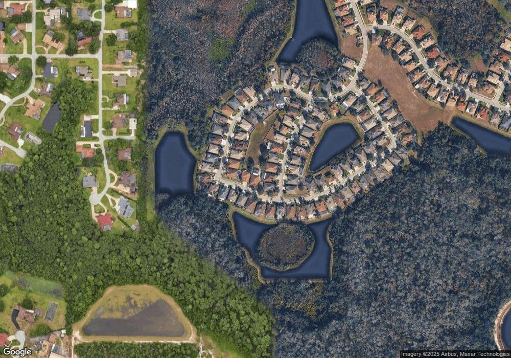
Map
Nearby Homes
- 11303 Striped Bass Ct
- 11311 Striped Bass Ct
- 8942 Sandusky Ln
- The Michelangelo Plan at Hidden Ridge - The Signature Series
- The Oakmont Plan at Hidden Ridge - The Estate Series
- The Sawgrass Plan at Hidden Ridge - The Estate Series
- The Palermo Plan at Hidden Ridge - The Estate Series
- The Roma Plan at Hidden Ridge - The Estate Series
- The Portofino Plan at Hidden Ridge - The Signature Series
- The Leonardo Plan at Hidden Ridge - The Signature Series
- The Augusta Plan at Hidden Ridge - The Estate Series
- The Pompei Plan at Hidden Ridge - The Signature Series
- The Villa Toscana Plan at Hidden Ridge - The Estate Series
- The Raffaello Plan at Hidden Ridge - The Signature Series
- The Salerno Plan at Hidden Ridge - The Signature Series
- The Donatello Plan at Hidden Ridge - The Signature Series
- 11324 Striped Bass Ct
- 11632 Castine St
- 11347 Striped Bass Ct
- 11139 Ragsdale Ct
- 11207 Tayport Loop
- 8601 Tenbridge Way
- 8551 Tenbridge Way
- 8607 Tenbridge Way
- 11212 Tayport Loop
- 11641 Biddeford Place
- 11218 Tayport Loop
- 11635 Biddeford Place
- 11206 Tayport Loop
- 11224 Tayport Loop
- 8613 Tenbridge Way
- 11629 Biddeford Place
- 11230 Tayport Loop
- 11154 Tayport Loop
- 8600 Tenbridge Way
- 8548 Tenbridge Way
- 8619 Tenbridge Way
- 11623 Biddeford Place
- 11236 Tayport Loop
- 8608 Tenbridge Way