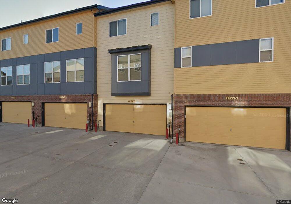
11217 Colony Cir Unit 1260 Broomfield, CO 80021
Arista NeighborhoodEstimated Value: $453,000 - $504,000
2
Beds
3
Baths
1,219
Sq Ft
$384/Sq Ft
Est. Value
About This Home
This home is located at 11217 Colony Cir Unit 1260, Broomfield, CO 80021 and is currently estimated at $467,897, approximately $383 per square foot. 11217 Colony Cir Unit 1260 is a home located in Broomfield County with nearby schools including Sheridan Green Elementary School, Mandalay Middle School, and Standley Lake High School.
Ownership History
Date
Name
Owned For
Owner Type
Purchase Details
Closed on
Jul 28, 2020
Sold by
Casey Devon L
Bought by
The Agnes V Reti Trust
Current Estimated Value
Purchase Details
Closed on
Mar 30, 2015
Sold by
Venue At Arista Llc
Bought by
Casey Devon L
Home Financials for this Owner
Home Financials are based on the most recent Mortgage that was taken out on this home.
Original Mortgage
$308,248
Interest Rate
3.99%
Mortgage Type
FHA
Create a Home Valuation Report for This Property
The Home Valuation Report is an in-depth analysis detailing your home's value as well as a comparison with similar homes in the area
Home Values in the Area
Average Home Value in this Area
Purchase History
| Date | Buyer | Sale Price | Title Company |
|---|---|---|---|
| The Agnes V Reti Trust | $410,000 | Guardian Title | |
| Casey Devon L | $313,935 | First American |
Source: Public Records
Mortgage History
| Date | Status | Borrower | Loan Amount |
|---|---|---|---|
| Previous Owner | Casey Devon L | $308,248 |
Source: Public Records
Tax History Compared to Growth
Tax History
| Year | Tax Paid | Tax Assessment Tax Assessment Total Assessment is a certain percentage of the fair market value that is determined by local assessors to be the total taxable value of land and additions on the property. | Land | Improvement |
|---|---|---|---|---|
| 2025 | $5,265 | $32,610 | $7,040 | $25,570 |
| 2024 | $5,265 | $31,020 | $6,290 | $24,730 |
| 2023 | $5,265 | $36,000 | $7,300 | $28,700 |
| 2022 | $4,566 | $26,630 | $5,910 | $20,720 |
| 2021 | $4,687 | $27,400 | $6,080 | $21,320 |
| 2020 | $4,666 | $27,060 | $5,360 | $21,700 |
| 2019 | $4,663 | $27,260 | $5,400 | $21,860 |
| 2018 | $4,102 | $23,530 | $3,600 | $19,930 |
| 2017 | $3,943 | $26,020 | $3,980 | $22,040 |
| 2016 | $3,489 | $8,080 | $3,980 | $4,100 |
| 2015 | $1,367 | $1,120 | $1,120 | $0 |
| 2014 | $193 | $2,930 | $2,930 | $0 |
Source: Public Records
Map
Nearby Homes
- 11316 Colony Cir
- 11310 Colony Cir
- 8361 Parkland St
- 11305 Uptown Ave
- 11267 Central Ct
- 8286 W 108th Place
- 8005 Emerald Ln
- 7601 W 108th Ave
- 920 W 1st Ave
- 10680 Dover St
- 7787 W 106th Ave
- 690 W 1st Ave
- 55 Emerald St
- 6645 W 114th Ave
- 9266 W 107th Ln
- 135 Garnet St
- 9338 W 107th Place
- 125 Laurel St
- 11532 Newland St
- 6801 W 118th Ave
- 11217 Colony Cir Unit 60
- 11217 Colony Cir
- 11217 Colony Cir Unit 1154
- 11219 Colony Cir
- 11215 Colony Cir
- 11215 Colony Cir Unit 1259
- 11221 Colony Cir
- 11223 Colony Cir
- 11243 Colony Row
- 11225 Colony Cir Unit 1264
- 11245 Colony Row
- 11247 Colony Row
- 11249 Colony Row
- 11211 Colony Cir
- 11211 Colony Cir Unit 12
- 11211 Colony Cir Unit 11211
- 11209 Colony Cir
- 11209 Colony Cir Unit 11209
- 11213 Colony Cir
- 11213 Colony Cir Unit 12