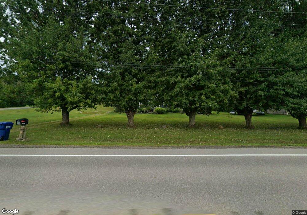
11218 Route 97 N Waterford, PA 16441
Estimated Value: $266,420 - $426,000
3
Beds
2
Baths
1,658
Sq Ft
$227/Sq Ft
Est. Value
About This Home
This home is located at 11218 Route 97 N, Waterford, PA 16441 and is currently estimated at $376,605, approximately $227 per square foot. 11218 Route 97 N is a home located in Erie County with nearby schools including Fort Leboeuf Middle School and Fort Leboeuf Senior High School.
Ownership History
Date
Name
Owned For
Owner Type
Purchase Details
Closed on
Jun 13, 2006
Sold by
Lotz Michael E and Lotz Teresa M
Bought by
Lotz Michael E
Current Estimated Value
Purchase Details
Closed on
Jul 18, 1997
Sold by
Lotz Michael Et Stanbro Teresa
Bought by
Lotz Michael Et Stanbro Teresa
Purchase Details
Closed on
Jul 16, 1997
Sold by
Anderson Kenneth L and Anderson Jeanne C
Bought by
Lotz Michael Et Stanbro Teresa
Create a Home Valuation Report for This Property
The Home Valuation Report is an in-depth analysis detailing your home's value as well as a comparison with similar homes in the area
Home Values in the Area
Average Home Value in this Area
Purchase History
| Date | Buyer | Sale Price | Title Company |
|---|---|---|---|
| Lotz Michael E | -- | None Available | |
| Lotz Michael Et Stanbro Teresa | $97,000 | -- | |
| Lotz Michael Et Stanbro Teresa | $97,000 | -- |
Source: Public Records
Tax History Compared to Growth
Tax History
| Year | Tax Paid | Tax Assessment Tax Assessment Total Assessment is a certain percentage of the fair market value that is determined by local assessors to be the total taxable value of land and additions on the property. | Land | Improvement |
|---|---|---|---|---|
| 2025 | $3,395 | $148,700 | $28,200 | $120,500 |
| 2024 | $3,262 | $148,700 | $28,200 | $120,500 |
| 2023 | $3,166 | $148,700 | $28,200 | $120,500 |
| 2022 | $3,087 | $148,700 | $28,200 | $120,500 |
| 2021 | $2,822 | $139,000 | $28,200 | $110,800 |
| 2020 | $2,787 | $139,000 | $28,200 | $110,800 |
| 2019 | $2,787 | $139,000 | $28,200 | $110,800 |
| 2018 | $2,745 | $139,000 | $28,200 | $110,800 |
| 2017 | $2,694 | $139,000 | $28,200 | $110,800 |
| 2016 | $3,119 | $139,000 | $28,200 | $110,800 |
| 2015 | $3,084 | $139,000 | $28,200 | $110,800 |
| 2014 | $1,647 | $139,000 | $28,200 | $110,800 |
Source: Public Records
Map
Nearby Homes
- 684 Benson Rd
- 10170 Tiger Lily Ln
- 11312 Donation Rd
- 9351 Peach St
- 525 Benson Rd
- 819 Chestnut St
- 11328 Donation Rd
- 11226 Route
- 438 Circuit St
- 0 E 3rd St
- 162 E 2nd St
- 11073 Tamarack Rd
- 201 Hood Rd
- 9790 Peach St
- 11221 W Greene Rd
- 10163 Sampson Rd
- 11396 Sharp Rd
- 0 Sharp Rd Unit 185719
- 9299 Peach St
- TBD 1 Plank Rd
- 11194 Route 97 N
- 11254 Route 97 N
- 11254 Pennsylvania 97
- 11237 Route 97 N
- 11268 Route 97 N
- 11264 Route 97 N
- 11294 Route 97 N
- 11295 Route 97 N
- 11211 Pennsylvania 97
- 11094 Route 97 N
- 11096 Route 97 N
- 11313 Route 97 N
- 11312 Route 97 N
- 11365 Route 97 N
- 11375 Route 97 N
- 160 Himrod Rd
- 11056 Route 97 N
- 225 Talcott Rd
- 245 Talcott Rd
- 263 Talcott Rd