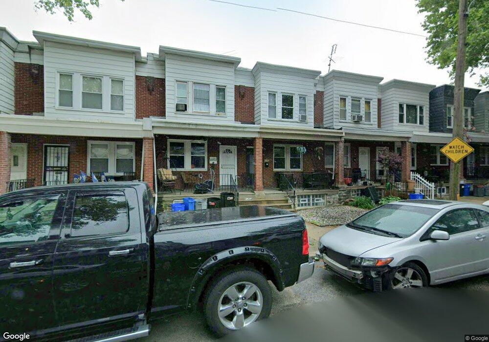
1122 E Sanger St Philadelphia, PA 19124
Frankford NeighborhoodEstimated Value: $162,000 - $224,000
3
Beds
1
Bath
1,128
Sq Ft
$173/Sq Ft
Est. Value
About This Home
This home is located at 1122 E Sanger St, Philadelphia, PA 19124 and is currently estimated at $195,616, approximately $173 per square foot. 1122 E Sanger St is a home located in Philadelphia County with nearby schools including Frankford High School, The Philadelphia Charter School for the Arts & Sciences, and Mastery Schools Smedley Elementary.
Ownership History
Date
Name
Owned For
Owner Type
Purchase Details
Closed on
Feb 22, 2013
Sold by
Rangnow Clifford R and Rangnow Deane Mae
Bought by
Prima Properties
Current Estimated Value
Purchase Details
Closed on
Jun 24, 1995
Sold by
Rangnow Clifford R and Rangnow Deane Mae
Bought by
Rangnow Clifford R and Rangnow Deane Mae
Create a Home Valuation Report for This Property
The Home Valuation Report is an in-depth analysis detailing your home's value as well as a comparison with similar homes in the area
Home Values in the Area
Average Home Value in this Area
Purchase History
| Date | Buyer | Sale Price | Title Company |
|---|---|---|---|
| Prima Properties | $50,000 | None Available | |
| Rangnow Clifford R | -- | -- |
Source: Public Records
Tax History
| Year | Tax Paid | Tax Assessment Tax Assessment Total Assessment is a certain percentage of the fair market value that is determined by local assessors to be the total taxable value of land and additions on the property. | Land | Improvement |
|---|---|---|---|---|
| 2026 | $1,907 | $168,600 | $33,720 | $134,880 |
| 2025 | $1,907 | $168,600 | $33,720 | $134,880 |
| 2024 | $1,907 | $168,600 | $33,720 | $134,880 |
| 2023 | $1,907 | $136,200 | $27,240 | $108,960 |
| 2022 | $1,348 | $136,200 | $27,240 | $108,960 |
| 2021 | $1,348 | $0 | $0 | $0 |
| 2020 | $1,348 | $0 | $0 | $0 |
| 2019 | $1,293 | $0 | $0 | $0 |
| 2018 | $1,312 | $0 | $0 | $0 |
| 2017 | $1,312 | $0 | $0 | $0 |
Source: Public Records
Map
Nearby Homes
- 1211 E Sanger St
- 1215 Bridge St
- 1244 E Sanger St
- 1431 Rosalie St
- 1046 Granite St
- 5451 Oakland St
- 5822 Oakland St
- 1101 Kenwyn St
- 1218 Pratt St
- 1220 Pratt St
- 5203 Castor Ave
- 5911 E Roosevelt Blvd
- 5226 Akron St
- 1112 Kenwyn St
- 5820 Akron St
- 4732 Oxford Ave
- 5822 Saul St
- 5240 E Roosevelt Blvd
- 7701 E Roosevelt Blvd
- 7600 E Roosevelt Blvd Unit 206
- 1124 E Sanger St
- 1128 E Sanger St
- 1120 E Sanger St
- 1130 E Sanger St
- 1118 E Sanger St
- 1132 E Sanger St
- 1134 E Sanger St
- 1114 E Sanger St
- 1136 E Sanger St
- 1112 E Sanger St
- 1138 E Sanger St
- 1125 Brill St
- 1123 Brill St
- 1127 Brill St
- 1119 Brill St
- 1140 E Sanger St
- 1129 Brill St
- 1131 Brill St
- 1121 Brill St
- 1142 E Sanger St
Your Personal Tour Guide
Ask me questions while you tour the home.