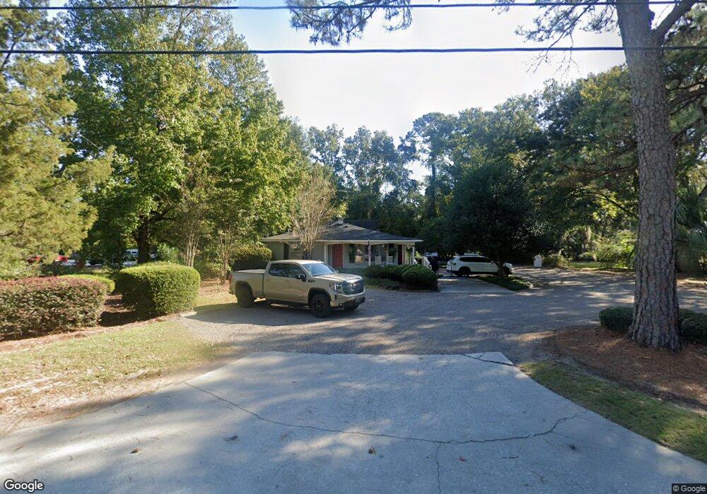
1122 Folly Rd Charleston, SC 29412
James Island NeighborhoodEstimated Value: $439,227
4
Beds
1
Bath
772
Sq Ft
$569/Sq Ft
Est. Value
About This Home
This home is located at 1122 Folly Rd, Charleston, SC 29412 and is currently estimated at $439,227, approximately $568 per square foot. 1122 Folly Rd is a home located in Charleston County with nearby schools including James Island Elementary School, Camp Road Middle, and Septima P Clark Corporate Academy.
Ownership History
Date
Name
Owned For
Owner Type
Purchase Details
Closed on
Apr 18, 2018
Sold by
Oshea Ian
Bought by
Shrewd Holdings Llc
Current Estimated Value
Home Financials for this Owner
Home Financials are based on the most recent Mortgage that was taken out on this home.
Original Mortgage
$385,000
Outstanding Balance
$331,247
Interest Rate
4.46%
Mortgage Type
Commercial
Estimated Equity
$107,980
Purchase Details
Closed on
Apr 18, 2016
Sold by
Cassara Frank A and Cassara Linda E
Bought by
Shea Ian O
Create a Home Valuation Report for This Property
The Home Valuation Report is an in-depth analysis detailing your home's value as well as a comparison with similar homes in the area
Home Values in the Area
Average Home Value in this Area
Purchase History
| Date | Buyer | Sale Price | Title Company |
|---|---|---|---|
| Shrewd Holdings Llc | -- | None Available | |
| Shea Ian O | $200,000 | -- |
Source: Public Records
Mortgage History
| Date | Status | Borrower | Loan Amount |
|---|---|---|---|
| Open | Shrewd Holdings Llc | $385,000 |
Source: Public Records
Tax History Compared to Growth
Tax History
| Year | Tax Paid | Tax Assessment Tax Assessment Total Assessment is a certain percentage of the fair market value that is determined by local assessors to be the total taxable value of land and additions on the property. | Land | Improvement |
|---|---|---|---|---|
| 2024 | $3,386 | $12,220 | $0 | $0 |
| 2023 | $3,386 | $12,220 | $0 | $0 |
| 2022 | $2,979 | $12,220 | $0 | $0 |
| 2021 | $3,075 | $12,220 | $0 | $0 |
| 2020 | $3,010 | $12,220 | $0 | $0 |
| 2019 | $3,137 | $12,000 | $0 | $0 |
| 2017 | $86 | $12,000 | $0 | $0 |
| 2016 | $2,142 | $8,370 | $0 | $0 |
| 2015 | $2,035 | $8,370 | $0 | $0 |
| 2014 | $1,740 | $0 | $0 | $0 |
| 2011 | -- | $0 | $0 | $0 |
Source: Public Records
Map
Nearby Homes
- 1047 Bradford Ave
- 1152 Bradford Ave
- 1153 Pauline Ave
- 1182 Folly Rd Unit A,B,C,D
- 1056 Yorktown Dr
- 1030 Pauline Ave
- 1815 Walsingham Way
- 1039 Yorktown Dr
- 1764 Ashworth Ln
- 1206 Folly Rd
- 1135 Bellwood Rd
- 0 Turkey Pen Rd Unit 16023532
- 1014 Arborwood Dr
- 1827 S Mayflower Dr
- 1814 S Mayflower Dr
- 1530 Fort Johnson Rd Unit 1E
- 1530 Fort Johnson Rd Unit 1L
- 1232 Silverleaf Cir
- 1453 Camp Rd
- 1 S Anderson Ave
- 1126 Folly Rd
- 1119 Bradford Ave
- 1125 Bradford Ave
- 1115 Bradford Ave
- 1130 Folly Rd
- 1108 Folly Rd
- 1131 Bradford Ave
- 1109 Bradford Ave
- 1104 Folly Rd
- 1106 Bradford Ave
- 1135 Bradford Ave
- 1103 Bradford Ave
- 1534 Newbury St
- 1112 Bradford Ave
- 1128 Pittsford Cir
- 1118 Bradford Ave
- 1066 Bradford Ave
- 1525 Newbury St
- 1132 Pittsford Cir
- 1028 Bradford Ave Unit C