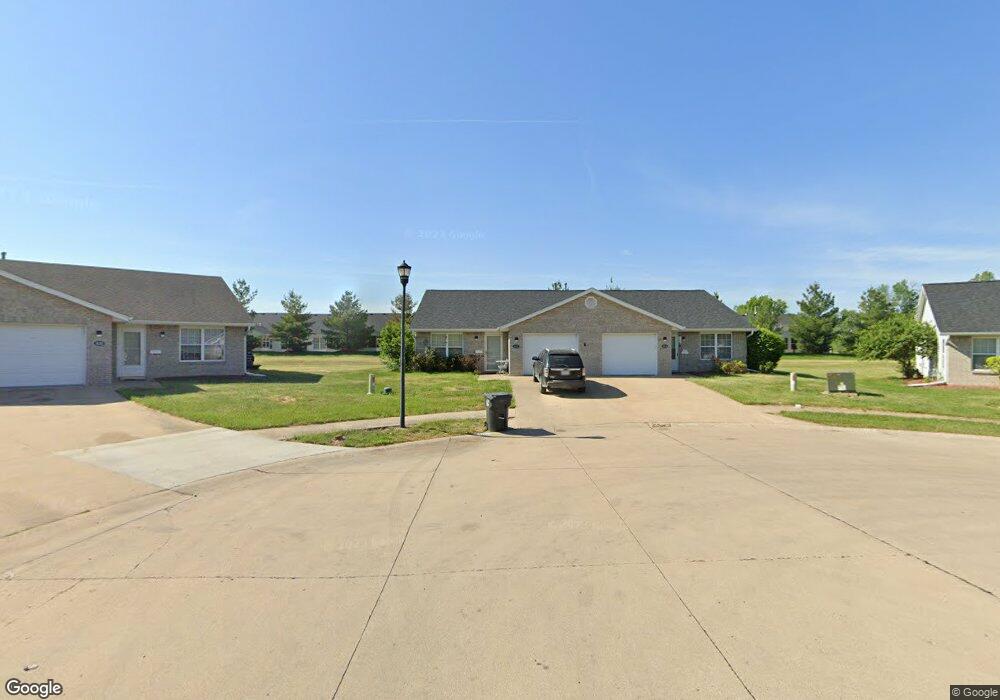
1122 Lowry Ct Moberly, MO 65270
Estimated Value: $142,000 - $174,000
2
Beds
2
Baths
1,092
Sq Ft
$149/Sq Ft
Est. Value
About This Home
This home is located at 1122 Lowry Ct, Moberly, MO 65270 and is currently estimated at $162,186, approximately $148 per square foot. 1122 Lowry Ct is a home located in Randolph County with nearby schools including Moberly Senior High School, St. Pius X. Catholic School, and Maranatha Seventh-day Adventist School.
Ownership History
Date
Name
Owned For
Owner Type
Purchase Details
Closed on
Sep 13, 2024
Sold by
Rainey Heather and Rainey Charles E
Bought by
Sterling Price Investments Llc
Current Estimated Value
Purchase Details
Closed on
Aug 26, 2024
Sold by
Dorothy A Neece Legacy Trust and Central Trust Company
Bought by
Rainey Heather
Purchase Details
Closed on
Feb 20, 2015
Sold by
Neece Dorothy A
Bought by
Neece Dorothy A
Purchase Details
Closed on
Feb 13, 2014
Sold by
Roger M Roger M and Seymour Bernadine J
Bought by
Neece Dorothy A
Home Financials for this Owner
Home Financials are based on the most recent Mortgage that was taken out on this home.
Original Mortgage
$68,000
Interest Rate
4.47%
Mortgage Type
New Conventional
Create a Home Valuation Report for This Property
The Home Valuation Report is an in-depth analysis detailing your home's value as well as a comparison with similar homes in the area
Home Values in the Area
Average Home Value in this Area
Purchase History
| Date | Buyer | Sale Price | Title Company |
|---|---|---|---|
| Sterling Price Investments Llc | -- | Town & Country Abstract | |
| Rainey Heather | -- | Town & Country Abstract | |
| Neece Dorothy A | -- | None Available | |
| Neece Dorothy A | -- | -- |
Source: Public Records
Mortgage History
| Date | Status | Borrower | Loan Amount |
|---|---|---|---|
| Previous Owner | Neece Dorothy A | $68,000 |
Source: Public Records
Tax History
| Year | Tax Paid | Tax Assessment Tax Assessment Total Assessment is a certain percentage of the fair market value that is determined by local assessors to be the total taxable value of land and additions on the property. | Land | Improvement |
|---|---|---|---|---|
| 2025 | $1,079 | $16,780 | $1,741 | $15,039 |
| 2024 | $11 | $14,820 | $1,520 | $13,300 |
| 2023 | $1,096 | $14,820 | $1,520 | $13,300 |
| 2022 | $1,034 | $14,360 | $1,520 | $12,840 |
| 2020 | $1,033 | $14,360 | $1,520 | $12,840 |
| 2019 | $1,031 | $14,360 | $1,520 | $12,840 |
| 2018 | $1,028 | $14,360 | $1,520 | $12,840 |
| 2017 | $1,026 | $14,360 | $0 | $0 |
| 2016 | $1,030 | $14,500 | $0 | $0 |
| 2014 | -- | $13,830 | $0 | $0 |
| 2013 | -- | $13,830 | $0 | $0 |
| 2012 | -- | $13,760 | $0 | $0 |
Source: Public Records
Map
Nearby Homes
- 1215 Shepherds Dr
- 411 Shumate Ave
- 1000 S Williams St
- 501 W Longview St
- 1365 Lantern Pointe Dr
- 1150 S Morley St
- 707 S 5th St
- 1339 Overland Ln
- 612 S 4th St
- 402 Halleck St
- 621 Gilman St
- LOT 2 County Rd
- 508 S Williams St
- 709 Gilman St
- 1701 S Williams St
- 1305 Woodridge Ln
- 4 Fair Oaks
- 311 Epperson St
- 309 S 4th St
- 321 S 5th St
- 1123 Lowry Ct
- 1209 Shepherds Dr
- 1118 Lowry Ct
- 1207 Shepherds Dr
- 1211 Shepherds Dr
- 1205 Shepherds Dr
- 1213 Shepherds Dr
- 1119 Lowry Ct Unit 28B
- 1203 Shepherds Dr
- 1121 Marmaduke Ct
- 1201 Shepherds Dr
- 1217 Shepherds Dr
- 1219 Shepherds Dr
- 1210 Shepherds Dr
- 1208 Shepherds Dr
- 1206 Shepherds Dr
- 1204 Shepherds Dr
- 1111 Lowry Ct
- 1212 Shepherds Dr
- 1202 Shepherds Dr
Your Personal Tour Guide
Ask me questions while you tour the home.