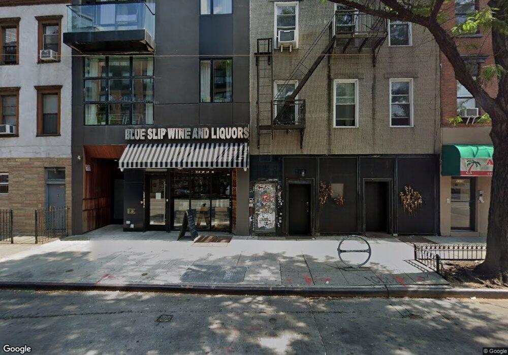
1122 Manhattan Ave Brooklyn, NY 11222
Greenpoint NeighborhoodEstimated Value: $3,535,311
--
Bed
--
Bath
6,702
Sq Ft
$528/Sq Ft
Est. Value
About This Home
This home is located at 1122 Manhattan Ave, Brooklyn, NY 11222 and is currently estimated at $3,535,311, approximately $527 per square foot. 1122 Manhattan Ave is a home located in Kings County with nearby schools including PS 31 Samuel F Dupont.
Ownership History
Date
Name
Owned For
Owner Type
Purchase Details
Closed on
Dec 1, 2015
Sold by
Blanco Hilda
Bought by
1122 Manhattan Avenue Llc
Current Estimated Value
Home Financials for this Owner
Home Financials are based on the most recent Mortgage that was taken out on this home.
Original Mortgage
$1,520,000
Outstanding Balance
$1,198,033
Interest Rate
3.77%
Mortgage Type
Commercial
Estimated Equity
$2,337,278
Create a Home Valuation Report for This Property
The Home Valuation Report is an in-depth analysis detailing your home's value as well as a comparison with similar homes in the area
Home Values in the Area
Average Home Value in this Area
Purchase History
| Date | Buyer | Sale Price | Title Company |
|---|---|---|---|
| 1122 Manhattan Avenue Llc | $2,535,000 | -- |
Source: Public Records
Mortgage History
| Date | Status | Borrower | Loan Amount |
|---|---|---|---|
| Open | 1122 Manhattan Avenue Llc | $1,520,000 |
Source: Public Records
Tax History Compared to Growth
Tax History
| Year | Tax Paid | Tax Assessment Tax Assessment Total Assessment is a certain percentage of the fair market value that is determined by local assessors to be the total taxable value of land and additions on the property. | Land | Improvement |
|---|---|---|---|---|
| 2025 | $20,895 | $629,100 | $208,800 | $420,300 |
| 2024 | $20,895 | $762,480 | $208,800 | $553,680 |
| 2023 | $18,984 | $635,400 | $208,800 | $426,600 |
| 2022 | $18,251 | $529,650 | $208,800 | $320,850 |
| 2021 | $17,660 | $623,250 | $208,800 | $414,450 |
| 2020 | $13,245 | $526,050 | $208,800 | $317,250 |
| 2019 | $10,738 | $515,250 | $208,800 | $306,450 |
| 2018 | $7,440 | $58,494 | $26,531 | $31,963 |
| 2017 | $6,894 | $54,200 | $28,131 | $26,069 |
| 2016 | $6,471 | $50,195 | $28,718 | $21,477 |
| 2015 | $4,200 | $50,195 | $33,852 | $16,343 |
| 2014 | $4,200 | $48,562 | $39,324 | $9,238 |
Source: Public Records
Map
Nearby Homes
- 44 Box St Unit 2C
- 79 Clay St Unit 1-A
- 1110 Manhattan Ave Unit 3
- 68 Commercial St Unit PH
- 132 Eagle St
- 205 Freeman St Unit 2
- 54 Dupont St Unit TH
- 54 Dupont St Unit 4-A
- 54 Dupont St Unit 3-B
- 54 Dupont St Unit 1-A
- 54 Dupont St Unit 2-F
- 54 Dupont St Unit 3-A
- 153 Green St Unit 1-B
- 78 Eagle St Unit 3
- 190 Green St Unit 401
- 340 McGuinness Blvd
- 175 Huron St Unit 1
- 175 Huron St Unit 3A
- 175 Huron St Unit 2
- 169 Huron St
- 1122 Manhattan Ave Unit 2 B
- 1122 Manhattan Ave Unit 4 B
- 1122 Manhattan Ave Unit 3-A
- 1122 Manhattan Ave Unit 2-A
- 1122 Manhattan Ave Unit 3-B
- 1122 Manhattan Ave Unit 4-A
- 1126 Manhattan Ave
- 1120 Manhattan Ave
- 1128 Manhattan Ave
- 1116 Manhattan Ave
- 1116 Manhattan Ave Unit 2L
- 1116 Manhattan Ave Unit 3-R
- 75 Clay St
- 1130 Manhattan Ave
- 1130 Manhattan Ave Unit 2L
- 77 Clay St
- 77 Clay St Unit 4R
- 1134 Manhattan Ave
- 79 Clay St Unit 4R
- 79 Clay St Unit 1F