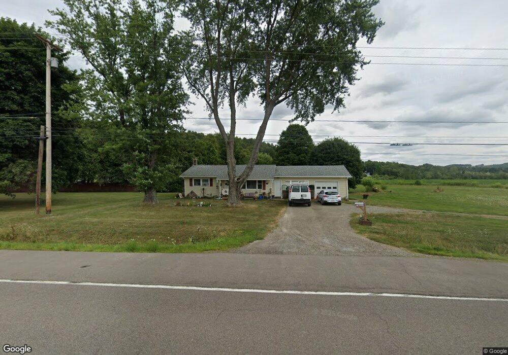
11220 State Route 21 Wayland, NY 14572
Estimated Value: $132,000 - $186,000
2
Beds
1
Bath
936
Sq Ft
$174/Sq Ft
Est. Value
About This Home
This home is located at 11220 State Route 21, Wayland, NY 14572 and is currently estimated at $162,567, approximately $173 per square foot. 11220 State Route 21 is a home located in Steuben County with nearby schools including Wayland Cohocton Middle School and Wayland Cohocton High School.
Ownership History
Date
Name
Owned For
Owner Type
Purchase Details
Closed on
Oct 28, 2021
Sold by
Jmac Properties Ny Llc
Bought by
Borsching Andrew D and Hoyt Matthew R
Current Estimated Value
Home Financials for this Owner
Home Financials are based on the most recent Mortgage that was taken out on this home.
Original Mortgage
$126,663
Outstanding Balance
$115,755
Interest Rate
2.8%
Mortgage Type
FHA
Estimated Equity
$46,812
Purchase Details
Closed on
Apr 25, 2012
Sold by
Lewis Alan
Bought by
Jmac Properties Of Ny Llc
Purchase Details
Closed on
Apr 11, 2005
Sold by
Lewis Loren
Bought by
Lewis Alan
Purchase Details
Closed on
Sep 3, 2004
Sold by
Secretary Of Housing & Ur
Bought by
Lewis Loren
Purchase Details
Closed on
Sep 28, 1998
Sold by
Shaver Ned S
Bought by
Baroody Timothy T and Baer Alice J
Create a Home Valuation Report for This Property
The Home Valuation Report is an in-depth analysis detailing your home's value as well as a comparison with similar homes in the area
Home Values in the Area
Average Home Value in this Area
Purchase History
| Date | Buyer | Sale Price | Title Company |
|---|---|---|---|
| Borsching Andrew D | $129,000 | None Available | |
| Jmac Properties Of Ny Llc | $90,000 | -- | |
| Lewis Alan | -- | -- | |
| Lewis Loren | $29,925 | -- | |
| Baroody Timothy T | $61,500 | -- |
Source: Public Records
Mortgage History
| Date | Status | Borrower | Loan Amount |
|---|---|---|---|
| Open | Borsching Andrew D | $126,663 |
Source: Public Records
Tax History Compared to Growth
Tax History
| Year | Tax Paid | Tax Assessment Tax Assessment Total Assessment is a certain percentage of the fair market value that is determined by local assessors to be the total taxable value of land and additions on the property. | Land | Improvement |
|---|---|---|---|---|
| 2024 | $3,801 | $124,500 | $8,700 | $115,800 |
| 2023 | $1,448 | $124,500 | $8,700 | $115,800 |
| 2022 | $1,448 | $124,500 | $8,700 | $115,800 |
| 2021 | $2,584 | $78,800 | $8,400 | $70,400 |
| 2020 | $2,800 | $88,800 | $8,400 | $80,400 |
| 2019 | $2,800 | $88,800 | $8,400 | $80,400 |
| 2018 | $2,800 | $88,800 | $8,400 | $80,400 |
| 2017 | $2,742 | $88,800 | $8,400 | $80,400 |
| 2016 | $2,584 | $88,800 | $8,400 | $80,400 |
| 2015 | -- | $88,800 | $8,400 | $80,400 |
| 2014 | -- | $88,800 | $8,400 | $80,400 |
Source: Public Records
Map
Nearby Homes
- 0 Route 21 S
- 223 Lincoln St
- 0 Yocum Rd
- 2057 New York 63
- 306 Fremont St
- 300 E Naples St
- 107 East Ave
- 102 East Ave
- 1651 State Route 63
- 11797 Reservoir Rd
- 3026 Emo Rd
- 9092 Carney Hollow Rd
- 81 Lindenwood Dr
- 10156 Stones Falls Rd
- 9 E Lake Rd
- 9692 Highland Ave
- 8471 Alpaugh Rd
- 7636 Lime Kiln Rd
- 0 Gibson St Unit R1517418
- 10817 Sandy Hill Rd
- 11220 State Route 21
- 11229 Reigelsperger Rd
- 11211 New York 21
- 11266 State Route 21
- 11212 Reigelsperger Rd
- 64539 State Route 415
- 11184 Reigelsperger Rd
- 2395 Michigan Rd
- 11198 Reigelsperger Rd
- 11178 Reigelsperger Rd
- 2353 Michigan Rd
- 0 Gunlocke Park Rd Unit R809299
- 0 Gunlocke Dr
- 0 Gunlocke Park Rd Unit 213745
- 0 Gunlocke Park Rd Unit 214575
- 0 Gunlocke Park Rd Unit 213107
- 11397 S Lackawanna St
- 11399 S Lackawanna St
- 2341 Michigan Rd
- 11407 S Lackawanna St