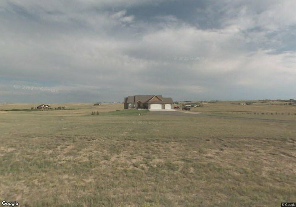
11223 Coonrod Rd Cheyenne, WY 82009
Ranchettes NeighborhoodEstimated Value: $562,000 - $734,833
--
Bed
--
Bath
2,146
Sq Ft
$302/Sq Ft
Est. Value
About This Home
This home is located at 11223 Coonrod Rd, Cheyenne, WY 82009 and is currently estimated at $648,417, approximately $302 per square foot. 11223 Coonrod Rd is a home located in Laramie County with nearby schools including Prairie Wind Elementary School, McCormick Junior High School, and Central High School.
Ownership History
Date
Name
Owned For
Owner Type
Purchase Details
Closed on
Jun 27, 2006
Sold by
Cardinal Construction
Bought by
Funk Michael E and Funk Shirley A
Current Estimated Value
Home Financials for this Owner
Home Financials are based on the most recent Mortgage that was taken out on this home.
Original Mortgage
$150,000
Outstanding Balance
$88,707
Interest Rate
6.58%
Mortgage Type
Purchase Money Mortgage
Estimated Equity
$559,710
Purchase Details
Closed on
Jan 16, 2001
Sold by
North Star Ranch Llc
Bought by
Parks Charles H and Parks Karen M
Create a Home Valuation Report for This Property
The Home Valuation Report is an in-depth analysis detailing your home's value as well as a comparison with similar homes in the area
Home Values in the Area
Average Home Value in this Area
Purchase History
| Date | Buyer | Sale Price | Title Company |
|---|---|---|---|
| Funk Michael E | -- | None Available | |
| Parks Charles H | -- | -- |
Source: Public Records
Mortgage History
| Date | Status | Borrower | Loan Amount |
|---|---|---|---|
| Open | Funk Michael E | $150,000 |
Source: Public Records
Tax History Compared to Growth
Tax History
| Year | Tax Paid | Tax Assessment Tax Assessment Total Assessment is a certain percentage of the fair market value that is determined by local assessors to be the total taxable value of land and additions on the property. | Land | Improvement |
|---|---|---|---|---|
| 2025 | $4,003 | $30,004 | $5,119 | $24,885 |
| 2024 | $4,003 | $59,556 | $10,238 | $49,318 |
| 2023 | $3,789 | $57,660 | $10,238 | $47,422 |
| 2022 | $3,362 | $50,042 | $9,921 | $40,121 |
| 2021 | $3,198 | $47,487 | $9,605 | $37,882 |
| 2020 | $3,157 | $47,015 | $9,605 | $37,410 |
| 2019 | $2,976 | $44,282 | $9,605 | $34,677 |
| 2018 | $2,846 | $42,780 | $9,605 | $33,175 |
| 2017 | $2,808 | $41,811 | $9,605 | $32,206 |
| 2016 | $2,814 | $41,873 | $10,132 | $31,741 |
| 2015 | $2,734 | $40,670 | $10,132 | $30,538 |
| 2014 | $2,703 | $39,928 | $9,726 | $30,202 |
Source: Public Records
Map
Nearby Homes
- 2500 Moonlight Ct
- Lot 5 Mccrae Rd
- 10611 Portugee Phillips Rd
- TBD Road 227
- 4563 Willow Brook Ln
- Tract 4 Rainbow Ridge
- tbt Road 110a
- Tract 250 Bentley Rd
- Lot 5 Skyline Dr
- Lot 1, Block 1 Coyote Flats
- Tract 29 Wineglass Rd
- Tract 3 Road 217
- 2593 Mccrae Rd
- Tract 108 Black Jack Blvd
- 0 Road 215 Unit 96488
- Lot 4 Snowy Mountain Ct
- Tract 53 Jk Trail
- Tract 26 Seven Xl Ct
- Tract 24 Wineglass Rd
- Tract 16 Wineglass Rd
- 11227 Coonrod Rd
- 11234 Coonrod Rd
- 11241 Coonrod Rd
- 11226 Coonrod Rd
- 1310 Orion Dr
- 11245 Coonrod Rd
- 1510 Orion Dr
- 1202 Orion Dr
- 11231 Coonrod Rd
- 1515 Orion Dr
- 716 Star Valley Dr
- 11235 Coonrod Rd
- 11170 Coonrod Rd
- 1311 Orion Dr
- 1413 Orion Dr
- 1106 Orion Dr
- 1209 Orion Dr
- 1107 Orion Dr
- 1617 Morningstar Rd
- 11243 Coonrod Rd