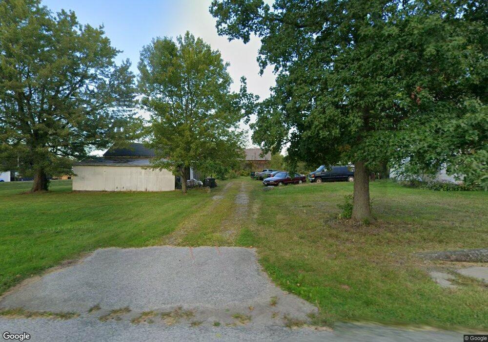
11225 Station Rd Columbia Station, OH 44028
Estimated Value: $196,000 - $357,000
4
Beds
1
Bath
1,901
Sq Ft
$136/Sq Ft
Est. Value
About This Home
This home is located at 11225 Station Rd, Columbia Station, OH 44028 and is currently estimated at $258,957, approximately $136 per square foot. 11225 Station Rd is a home located in Lorain County with nearby schools including Copopa Elementary School, Columbia Middle School, and Columbia High School.
Ownership History
Date
Name
Owned For
Owner Type
Purchase Details
Closed on
Sep 24, 2003
Sold by
Barnette Michael A and Barnette Tina C
Bought by
Rachid Nagib and Rachid Cathy
Current Estimated Value
Purchase Details
Closed on
Aug 23, 2001
Sold by
Walker David J and Walker Kathren M
Bought by
Barnette Michael A and Barnette Tina C
Home Financials for this Owner
Home Financials are based on the most recent Mortgage that was taken out on this home.
Original Mortgage
$69,000
Interest Rate
7.11%
Create a Home Valuation Report for This Property
The Home Valuation Report is an in-depth analysis detailing your home's value as well as a comparison with similar homes in the area
Home Values in the Area
Average Home Value in this Area
Purchase History
| Date | Buyer | Sale Price | Title Company |
|---|---|---|---|
| Rachid Nagib | $99,000 | Rels | |
| Barnette Michael A | $109,000 | Lorain County Title Co Inc |
Source: Public Records
Mortgage History
| Date | Status | Borrower | Loan Amount |
|---|---|---|---|
| Previous Owner | Barnette Michael A | $69,000 |
Source: Public Records
Tax History Compared to Growth
Tax History
| Year | Tax Paid | Tax Assessment Tax Assessment Total Assessment is a certain percentage of the fair market value that is determined by local assessors to be the total taxable value of land and additions on the property. | Land | Improvement |
|---|---|---|---|---|
| 2024 | $3,000 | $67,085 | $36,663 | $30,422 |
| 2023 | $1,058 | $20,069 | $16,643 | $3,427 |
| 2022 | $1,016 | $20,069 | $16,643 | $3,427 |
| 2021 | $2,006 | $40,135 | $33,285 | $6,850 |
| 2020 | $1,939 | $34,810 | $28,870 | $5,940 |
| 2019 | $1,927 | $34,810 | $28,870 | $5,940 |
| 2018 | $1,942 | $34,810 | $28,870 | $5,940 |
| 2017 | $2,400 | $40,100 | $24,790 | $15,310 |
| 2016 | $2,417 | $40,100 | $24,790 | $15,310 |
| 2015 | $2,417 | $40,100 | $24,790 | $15,310 |
| 2014 | $2,546 | $40,100 | $24,790 | $15,310 |
| 2013 | $2,434 | $40,100 | $24,790 | $15,310 |
Source: Public Records
Map
Nearby Homes
- 23663 Victory Ln
- 26571 Sprague Rd
- 9954 Ethan Dr
- 9628 Kingston Trail
- 27056 Sprague Rd
- 27167 Watkin Rd
- 11834 W River Rd
- 0 Sprague Rd
- 2013 Viewpointe Ct
- 26645 Lake of the Falls Blvd
- 9130 Devonshire Dr
- 23855 W Rim Dr
- 9112 Devonshire Dr
- 33621 Henwell Rd
- 31100 Blooming Ln
- 33700 Henwell Rd
- 33743 Henwell Rd
- 9159 E Windsor Dr
- 26271 Royalton Rd
- 26609 N Park Blvd Unit 26609
- 11201 Station Rd
- 11224 Station Rd
- 11355 Station Rd
- 26434 Anderson Rd
- 11326 Station Rd
- 26458 Anderson Rd
- 26458 Anderson Rd
- 26383 Osborne Rd
- 26465 Osborne Rd
- 11369 Station Rd
- 26361 Osborne Rd
- 26335 Osborne Rd
- 26584 Osborne Rd
- 26602 Osborne Rd
- 26307 Osborne Rd
- 26630 Osborne Rd
- 26440 Osborne Rd
- 0 Station Rd Unit 3928016
- 0 Station Rd Unit 258406
- 0 Station Rd Unit 674612