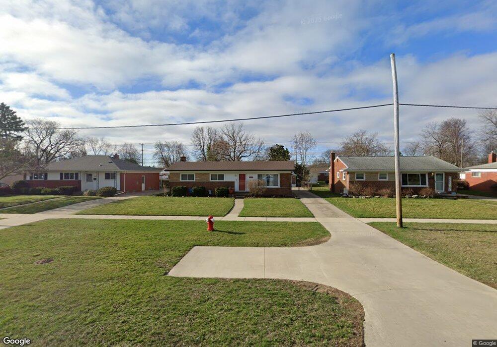
11226 Canal Rd Sterling Heights, MI 48314
Estimated Value: $255,000 - $287,000
3
Beds
2
Baths
1,215
Sq Ft
$222/Sq Ft
Est. Value
About This Home
This home is located at 11226 Canal Rd, Sterling Heights, MI 48314 and is currently estimated at $269,281, approximately $221 per square foot. 11226 Canal Rd is a home located in Macomb County with nearby schools including Dresden Elementary School, Bemis Junior High School, and Henry Ford II High School.
Ownership History
Date
Name
Owned For
Owner Type
Purchase Details
Closed on
Jun 17, 2008
Sold by
Borton Mark S and Borton Cristy Leigh
Bought by
Warriner Bartholomew J and Warriner Miranda R
Current Estimated Value
Purchase Details
Closed on
Jun 29, 2004
Sold by
Thornbro Scott C and Thornbro Julie A
Bought by
Borton Mark S
Purchase Details
Closed on
Nov 3, 2000
Sold by
Barrow John P
Bought by
Thornbro Scott C
Home Financials for this Owner
Home Financials are based on the most recent Mortgage that was taken out on this home.
Original Mortgage
$143,900
Interest Rate
7.87%
Mortgage Type
Purchase Money Mortgage
Create a Home Valuation Report for This Property
The Home Valuation Report is an in-depth analysis detailing your home's value as well as a comparison with similar homes in the area
Home Values in the Area
Average Home Value in this Area
Purchase History
| Date | Buyer | Sale Price | Title Company |
|---|---|---|---|
| Warriner Bartholomew J | $139,900 | Century Title Company | |
| Borton Mark S | $164,500 | Metropolitan Title Company | |
| Thornbro Scott C | $151,500 | -- |
Source: Public Records
Mortgage History
| Date | Status | Borrower | Loan Amount |
|---|---|---|---|
| Previous Owner | Thornbro Scott C | $143,900 |
Source: Public Records
Tax History Compared to Growth
Tax History
| Year | Tax Paid | Tax Assessment Tax Assessment Total Assessment is a certain percentage of the fair market value that is determined by local assessors to be the total taxable value of land and additions on the property. | Land | Improvement |
|---|---|---|---|---|
| 2025 | $2,521 | $131,700 | $0 | $0 |
| 2024 | $2,305 | $122,400 | $0 | $0 |
| 2023 | $2,176 | $109,300 | $0 | $0 |
| 2022 | $2,269 | $98,700 | $0 | $0 |
| 2021 | $2,222 | $89,800 | $0 | $0 |
| 2020 | $2,013 | $86,400 | $0 | $0 |
| 2019 | $2,238 | $79,900 | $0 | $0 |
| 2018 | $2,366 | $75,100 | $0 | $0 |
| 2017 | $2,456 | $72,000 | $12,800 | $59,200 |
| 2016 | $1,924 | $72,000 | $0 | $0 |
| 2015 | -- | $66,700 | $0 | $0 |
| 2014 | -- | $53,100 | $0 | $0 |
Source: Public Records
Map
Nearby Homes
- 11214 Canal Rd
- 44395 Patricia Dr Unit 90
- 44361 Mathison Dr
- 8958 Shannon Dr
- 44312 Patricia Dr Unit 2
- 8628 Strom Dr
- 11503 Silver Dr
- 45089 Klingkammer St Unit 10
- 11827 Shetland Ct
- 11156 Diamond Dr
- 45210 Keding St Unit 101
- 45200 Keding St Unit 101
- 11423 Delvin Dr
- 8235 Mackay Ct
- 8245 Canal Rd
- 12115 Canal Rd
- 8238 Clinton River Rd
- 43629 Vivian Dr
- 45449 Sterritt St
- 45467 Sterritt St