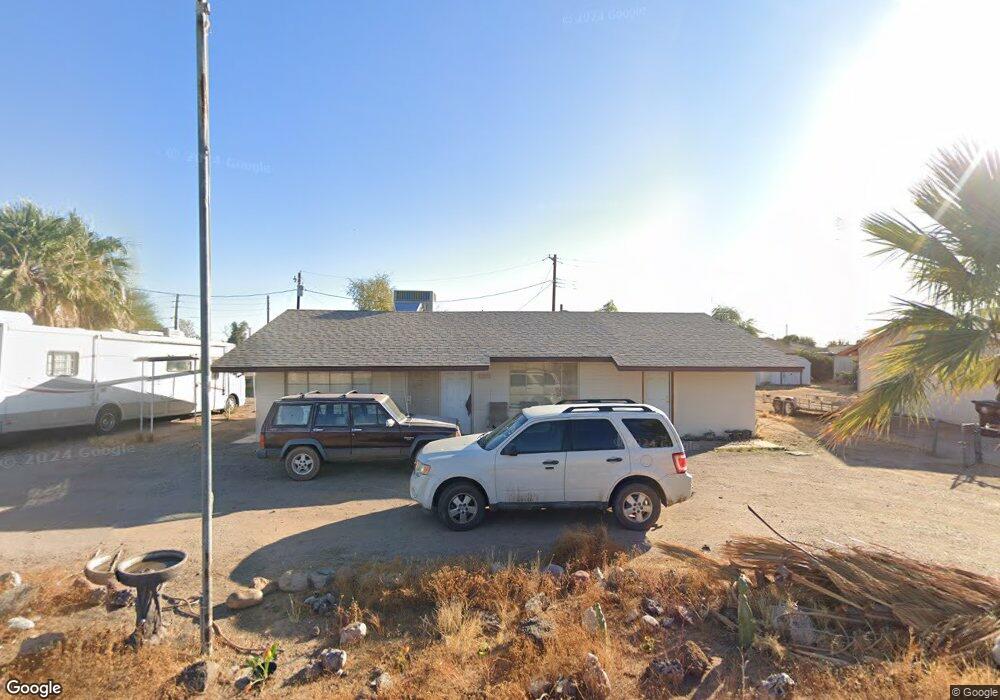
11227 E 6th Ave Apache Junction, AZ 85120
Northeast Mesa NeighborhoodEstimated Value: $273,231 - $353,000
3
Beds
2
Baths
1,104
Sq Ft
$279/Sq Ft
Est. Value
About This Home
This home is located at 11227 E 6th Ave, Apache Junction, AZ 85120 and is currently estimated at $308,058, approximately $279 per square foot. 11227 E 6th Ave is a home located in Maricopa County with nearby schools including Brinton Elementary School, Franklin at Brimhall Elementary School, and Franklin West Elementary School.
Ownership History
Date
Name
Owned For
Owner Type
Purchase Details
Closed on
Mar 10, 2015
Sold by
Farnsworth Black Harold Raymond and Farnsworth Black Shirley
Bought by
The Harold Raymond Black & Shirley Farns
Current Estimated Value
Purchase Details
Closed on
Aug 24, 2011
Sold by
The Bank Of New York Mellon
Bought by
Black Raymond and Black Shirley
Purchase Details
Closed on
Jun 24, 2011
Sold by
Piper Randall A and Piper Linda K
Bought by
The Bank Of New York Mellon and The Bank Of New York
Purchase Details
Closed on
Dec 1, 1998
Sold by
Piper Anna B
Bought by
Piper Randall A and Piper Linda K
Create a Home Valuation Report for This Property
The Home Valuation Report is an in-depth analysis detailing your home's value as well as a comparison with similar homes in the area
Home Values in the Area
Average Home Value in this Area
Purchase History
| Date | Buyer | Sale Price | Title Company |
|---|---|---|---|
| The Harold Raymond Black & Shirley Farns | -- | None Available | |
| Black Raymond | $38,500 | Security Title Agency | |
| The Bank Of New York Mellon | $40,140 | Accommodation | |
| Piper Randall A | $48,574 | Fidelity National Title Agen |
Source: Public Records
Tax History
| Year | Tax Paid | Tax Assessment Tax Assessment Total Assessment is a certain percentage of the fair market value that is determined by local assessors to be the total taxable value of land and additions on the property. | Land | Improvement |
|---|---|---|---|---|
| 2025 | $483 | $6,491 | -- | -- |
| 2024 | $494 | $6,182 | -- | -- |
| 2023 | $494 | $24,500 | $4,900 | $19,600 |
| 2022 | $482 | $17,420 | $3,480 | $13,940 |
| 2021 | $487 | $13,670 | $2,730 | $10,940 |
| 2020 | $483 | $10,850 | $2,170 | $8,680 |
| 2019 | $443 | $10,320 | $2,060 | $8,260 |
| 2018 | $431 | $9,220 | $1,840 | $7,380 |
| 2017 | $415 | $8,150 | $1,630 | $6,520 |
| 2016 | $406 | $7,630 | $1,520 | $6,110 |
Source: Public Records
Map
Nearby Homes
- 301 S Elmont Dr
- 11311 E 6th Ave
- 434 S 113th Way
- 11263 E Crescent Ave
- 11203 E Crescent Ave
- 724 S Emerald Dr
- 744 S Emerald Dr
- 143 S Mountain Rd
- 11451 E Broadway Rd
- 11529 E 4th Ave
- 609 S 111th Place
- 11066 E Abilene Ave
- 11135 E Catalina Ave
- 11435 E Apache Trail Unit 48
- 11435 E Apache Trail Unit 84
- XXX E Compound Lot 2 D Trail Unit D
- 155 S Parkwood
- 702 S Meridian Rd Unit 1066
- 702 S Meridian Rd Unit 151
- 702 S Meridian Rd Unit 991
- 11219 E 6th Ave
- 332 S Malcolm Dr
- 11301 E 6th Ave
- 11211 E 6th Ave
- 310 S Malcolm Dr
- 333 S Malcolm Dr
- 11212 E 6th Ave
- 340 S Malcolm Dr
- 333 S Elmont Dr
- 11214 E 6th Ave
- 11201 E 6th Ave
- 341 S Elmont Dr
- 11202 E 6th Ave
- 304 S Malcolm Dr
- 11312 E 6th Ave
- 11234 E Broadway Rd
- 11302 E Broadway Rd
- 11300 E Broadway Rd
- 11319 E 6th Ave
- 11312 E Broadway Rd
Your Personal Tour Guide
Ask me questions while you tour the home.