1123 Beagle Ln Quincy, MI 49082
Estimated Value: $305,000 - $386,000
3
Beds
2
Baths
1,300
Sq Ft
$254/Sq Ft
Est. Value
About This Home
This home is located at 1123 Beagle Ln, Quincy, MI 49082 and is currently estimated at $330,508, approximately $254 per square foot. 1123 Beagle Ln is a home located in Branch County with nearby schools including Jennings Elementary School, Quincy Middle School, and Quincy High School.
Ownership History
Date
Name
Owned For
Owner Type
Purchase Details
Closed on
Dec 17, 2004
Sold by
Maynard Robert T and Maynard Ginger A
Bought by
Clark William and Clark April S
Current Estimated Value
Home Financials for this Owner
Home Financials are based on the most recent Mortgage that was taken out on this home.
Original Mortgage
$232,900
Interest Rate
5.82%
Mortgage Type
Purchase Money Mortgage
Purchase Details
Closed on
Nov 2, 2001
Sold by
Delagrange Nathan and Delagrange Marjorie
Bought by
Maynard Robert T and Maynard Ginger A
Purchase Details
Closed on
Sep 25, 2001
Sold by
Delagrange Nathan and Delagrange Marjorie
Bought by
Maynard Robert T and Maynard Ginger A
Create a Home Valuation Report for This Property
The Home Valuation Report is an in-depth analysis detailing your home's value as well as a comparison with similar homes in the area
Home Values in the Area
Average Home Value in this Area
Purchase History
| Date | Buyer | Sale Price | Title Company |
|---|---|---|---|
| Clark William | $166,000 | Branch County Abstract & Tit | |
| Maynard Robert T | $3,800 | -- | |
| Maynard Robert T | $55,100 | -- |
Source: Public Records
Mortgage History
| Date | Status | Borrower | Loan Amount |
|---|---|---|---|
| Closed | Clark William | $232,900 |
Source: Public Records
Tax History Compared to Growth
Tax History
| Year | Tax Paid | Tax Assessment Tax Assessment Total Assessment is a certain percentage of the fair market value that is determined by local assessors to be the total taxable value of land and additions on the property. | Land | Improvement |
|---|---|---|---|---|
| 2025 | $2,534 | $147,078 | $0 | $0 |
| 2024 | $923 | $138,809 | $0 | $0 |
| 2023 | $839 | $122,866 | $0 | $0 |
| 2022 | $839 | $107,480 | $0 | $0 |
| 2021 | $137 | $101,271 | $0 | $0 |
| 2020 | -- | $102,708 | $0 | $0 |
| 2019 | -- | $98,886 | $0 | $0 |
| 2018 | -- | $91,345 | $0 | $0 |
| 2017 | -- | $87,587 | $0 | $0 |
| 2016 | -- | $72,196 | $0 | $0 |
| 2015 | -- | $74,618 | $0 | $0 |
| 2014 | -- | $68,107 | $0 | $0 |
| 2013 | -- | $66,550 | $0 | $0 |
Source: Public Records
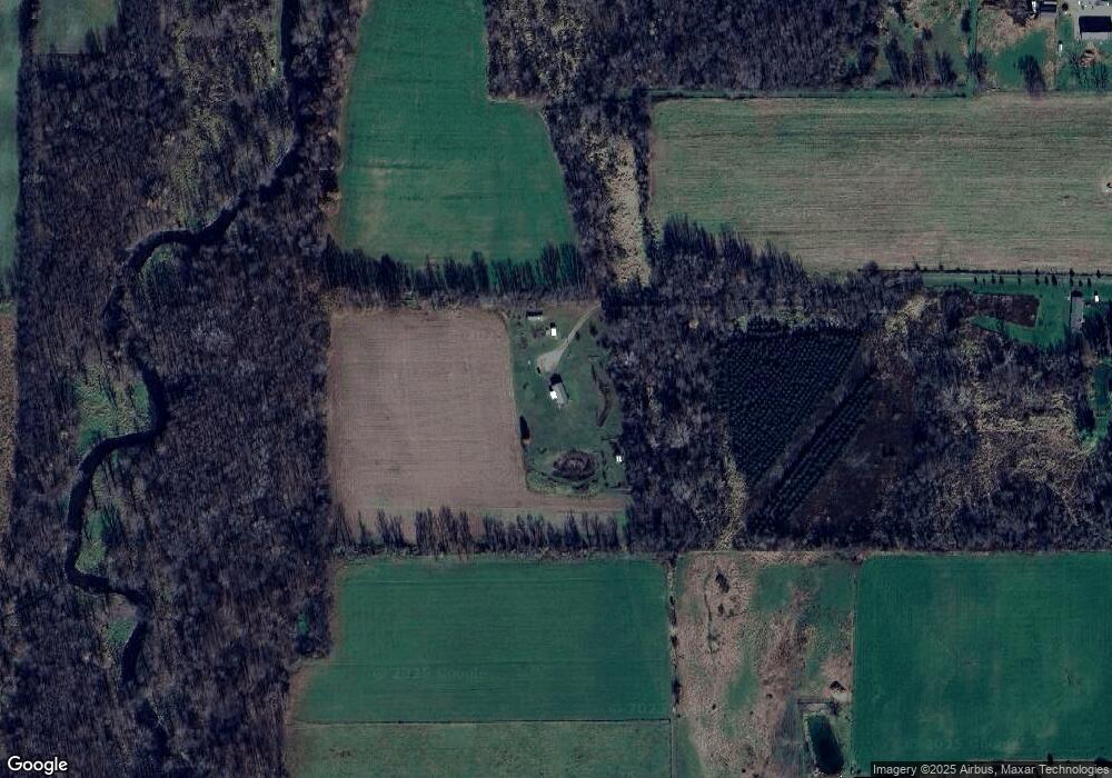
Map
Nearby Homes
- 832 Clarendon Rd
- 1085 E Chicago Rd Unit B
- 1085 E Chicago Rd Unit A
- 1085 E Chicago Rd
- 4251 Squires Rd
- 1014 Aguadero Pkwy
- 69 N Main St
- 9 Cole St
- 34 Park St
- 42 W Chicago St
- 46 W Chicago St
- 34 W Liberty St
- 78 Taylor St
- 44 Berry St
- 424 Doris St
- 912 Beckwith Shore
- 988 Williams Dr
- 970 Dean Rd
- 238 Maple Rd
- 0 Wildwood Rd
- 674 N Briggs Rd
- 1125 Jonesville Rd Unit 1
- 670 N Briggs Rd
- 690 N Briggs Rd
- 1135 Jonesville Rd
- 1137 Jonesville Rd
- 1095 Jonesville Rd
- 1095 Jonesville Rd
- 1098 Jonesville Rd
- 1094 Jonesville Rd
- 626 N Briggs Rd
- 1092 Jonesville Rd
- 1090 Jonesville Rd
- 1088 Jonesville Rd
- 1084 Jonesville Rd
- 1118 Jonesville Rd
- 1078 Jonesville Rd
- 1082 Jonesville Rd
- 1082 Jonesville Rd
- 615 N Briggs Rd