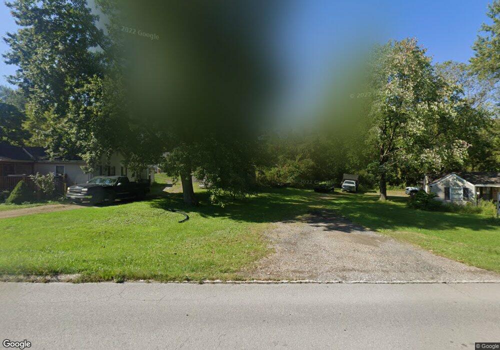
1123 Bowman St Mansfield, OH 44903
Estimated Value: $30,000 - $187,000
--
Bed
--
Bath
--
Sq Ft
0.26
Acres
About This Home
This home is located at 1123 Bowman St, Mansfield, OH 44903 and is currently estimated at $111,333. 1123 Bowman St is a home located in Richland County with nearby schools including Foundation Academy, St. Peter's Elementary/Montessori School, and St. Peter's High School/Junior High.
Ownership History
Date
Name
Owned For
Owner Type
Purchase Details
Closed on
Jan 13, 2015
Sold by
Merwine Larry D
Bought by
Lyons Matthew L and Lyons Kristina L
Current Estimated Value
Purchase Details
Closed on
Nov 25, 2014
Sold by
Chapman Marilyn J
Bought by
Merwine Larry D
Purchase Details
Closed on
Oct 30, 2009
Sold by
Chapman Marilyn
Bought by
White Gladys
Home Financials for this Owner
Home Financials are based on the most recent Mortgage that was taken out on this home.
Original Mortgage
$19,000
Interest Rate
5.11%
Mortgage Type
Seller Take Back
Purchase Details
Closed on
Sep 2, 2005
Sold by
Chapman Marilyn
Bought by
Thompson Doug and Thompson Charlene
Purchase Details
Closed on
Aug 23, 2004
Sold by
Estate Of Fred A Chapman
Bought by
Chapman Marilyn J
Purchase Details
Closed on
Jul 7, 1998
Sold by
Lykins John D
Bought by
Chapman Fred A
Create a Home Valuation Report for This Property
The Home Valuation Report is an in-depth analysis detailing your home's value as well as a comparison with similar homes in the area
Home Values in the Area
Average Home Value in this Area
Purchase History
| Date | Buyer | Sale Price | Title Company |
|---|---|---|---|
| Lyons Matthew L | $6,500 | None Available | |
| Merwine Larry D | $5,500 | Chicago Title Agency Of Nort | |
| White Gladys | $20,000 | Attorney | |
| Thompson Doug | $25,000 | -- | |
| Chapman Marilyn J | -- | -- | |
| Chapman Fred A | $11,000 | -- |
Source: Public Records
Mortgage History
| Date | Status | Borrower | Loan Amount |
|---|---|---|---|
| Previous Owner | White Gladys | $19,000 | |
| Closed | Thompson Doug | $0 |
Source: Public Records
Tax History Compared to Growth
Tax History
| Year | Tax Paid | Tax Assessment Tax Assessment Total Assessment is a certain percentage of the fair market value that is determined by local assessors to be the total taxable value of land and additions on the property. | Land | Improvement |
|---|---|---|---|---|
| 2024 | $30 | $630 | $630 | $0 |
| 2023 | $30 | $630 | $630 | $0 |
| 2022 | $32 | $560 | $560 | $0 |
| 2021 | $32 | $560 | $560 | $0 |
| 2020 | $33 | $560 | $560 | $0 |
| 2019 | $37 | $560 | $560 | $0 |
| 2018 | $36 | $560 | $560 | $0 |
| 2017 | $35 | $560 | $560 | $0 |
| 2016 | $35 | $540 | $540 | $0 |
| 2015 | $33 | $540 | $540 | $0 |
| 2014 | $16 | $1,340 | $1,340 | $0 |
| 2012 | $66 | $1,410 | $1,410 | $0 |
Source: Public Records
Map
Nearby Homes
- 356 Warren Rd
- 0 Stone Rd
- 743 Bowman St
- 939 Country Club Dr
- 0 Highway 30
- 0 Herring Ave
- 673 Armstrong St Unit 23
- 283 Bulkley Ave
- 526 Bowman St
- 512 Burns St
- 946 Belmont Ave
- 674 Averill Ave
- 1170 Fairfax Ave
- 876 Fairfax Ave
- 874 Fairfax Ave
- 741 Burger Ave
- 933 Fairfax Ave
- 426 Mcpherson St
- 156 Buckingham Ave Unit 158
- 0 State Route 314 Unit 9067316