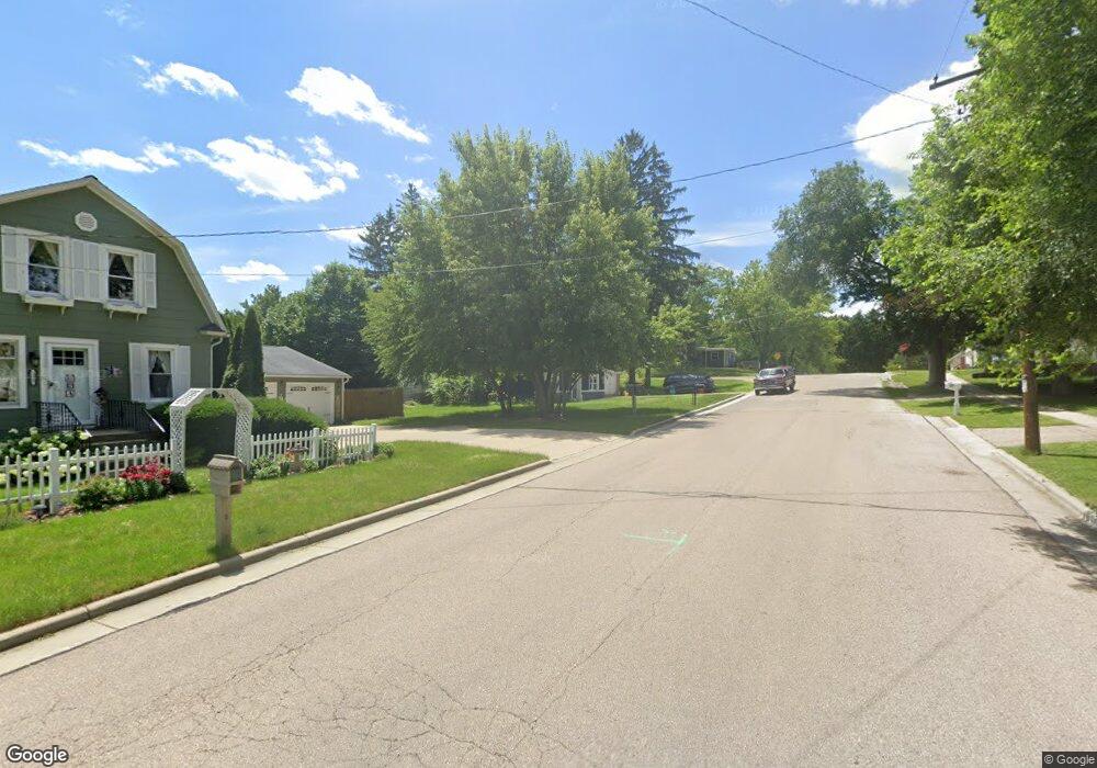
1123 Elsie St Fort Atkinson, WI 53538
Estimated Value: $172,000 - $212,476
3
Beds
1
Bath
840
Sq Ft
$231/Sq Ft
Est. Value
About This Home
This home is located at 1123 Elsie St, Fort Atkinson, WI 53538 and is currently estimated at $194,119, approximately $231 per square foot. 1123 Elsie St is a home located in Jefferson County with nearby schools including Barrie Elementary School, Fort Atkinson Middle School, and Fort Atkinson High School.
Ownership History
Date
Name
Owned For
Owner Type
Purchase Details
Closed on
Aug 13, 2021
Sold by
Brophy Michael L
Bought by
Trevino Rodolfo A and Trevino Heather
Current Estimated Value
Home Financials for this Owner
Home Financials are based on the most recent Mortgage that was taken out on this home.
Original Mortgage
$101,150
Outstanding Balance
$91,977
Interest Rate
2.9%
Mortgage Type
New Conventional
Estimated Equity
$102,142
Purchase Details
Closed on
Jun 6, 2008
Sold by
Brophy Sherry M
Bought by
Brophy Michael L
Create a Home Valuation Report for This Property
The Home Valuation Report is an in-depth analysis detailing your home's value as well as a comparison with similar homes in the area
Home Values in the Area
Average Home Value in this Area
Purchase History
| Date | Buyer | Sale Price | Title Company |
|---|---|---|---|
| Trevino Rodolfo A | $119,000 | None Available | |
| Brophy Michael L | -- | None Available |
Source: Public Records
Mortgage History
| Date | Status | Borrower | Loan Amount |
|---|---|---|---|
| Open | Trevino Rodolfo A | $101,150 |
Source: Public Records
Tax History Compared to Growth
Tax History
| Year | Tax Paid | Tax Assessment Tax Assessment Total Assessment is a certain percentage of the fair market value that is determined by local assessors to be the total taxable value of land and additions on the property. | Land | Improvement |
|---|---|---|---|---|
| 2024 | $2,263 | $121,400 | $26,400 | $95,000 |
| 2023 | $1,964 | $121,400 | $26,400 | $95,000 |
| 2022 | $2,048 | $121,400 | $26,400 | $95,000 |
| 2021 | $1,909 | $121,400 | $26,400 | $95,000 |
| 2020 | $1,733 | $121,400 | $26,400 | $95,000 |
| 2019 | $1,758 | $99,200 | $27,700 | $71,500 |
| 2018 | $1,643 | $99,200 | $27,700 | $71,500 |
| 2017 | $1,645 | $99,200 | $27,700 | $71,500 |
| 2016 | $1,704 | $99,200 | $27,700 | $71,500 |
| 2015 | $1,798 | $99,200 | $27,700 | $71,500 |
| 2014 | $1,748 | $99,200 | $27,700 | $71,500 |
| 2013 | $1,802 | $99,200 | $27,700 | $71,500 |
Source: Public Records
Map
Nearby Homes
- 916 Madison Ave
- 609 Cloute St
- 1220 Sherman Ave W
- 1222 Sherman Ave W Unit P
- 715 Madison Ave
- 1120 Van Buren St
- 1233 Sherman Ave W
- 605 Nelson St
- 42 Wilson Ave
- 845 Messmer St
- 125 Monroe St
- Lt40 Montclair Place
- 214 Hickory St
- 1112 Menomonee Ct
- 336 Jones Ave
- 311 N Main St
- 1612 Commonwealth Dr Unit 3
- 520 Edward St
- 1709 Montclair Place
- 234 S Main St
- 1123 Elsie St
- 404 Wilson Ave
- 1117 Elsie St
- 1124 Charles St
- 1112 Charles St
- 1120 Elsie St Unit W6424
- N2476-2478 Commonwealth Dr
- 1113 Elsie St
- W6439 Elsie St
- 415 Commonwealth Dr
- 1114 Elsie St
- 1108 Charles St
- 330 Wilson Ave
- 1121 Charles St
- 1200 Charles St
- 1200 Charles St
- 1117 Charles St
- 325 Wilson Ave
- 428 Commonwealth Dr
- 428 Commonwealth Dr