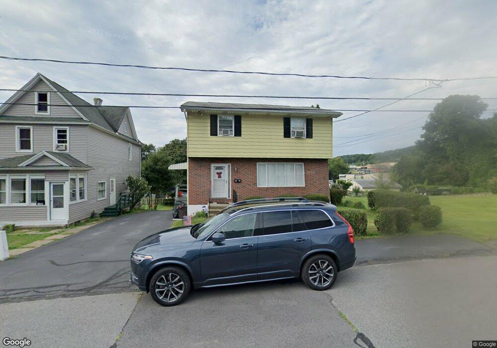
1123 Fulton St Scranton, PA 18508
Tripp's Park NeighborhoodEstimated Value: $63,635 - $143,000
--
Bed
--
Bath
--
Sq Ft
5,968
Sq Ft Lot
About This Home
This home is located at 1123 Fulton St, Scranton, PA 18508 and is currently estimated at $105,659. 1123 Fulton St is a home located in Lackawanna County with nearby schools including Neil Armstrong Elementary School, Pinchbeck Elementary School, and Pemberton Elementary School.
Ownership History
Date
Name
Owned For
Owner Type
Purchase Details
Closed on
Feb 3, 2022
Sold by
Zang Jr Robert S
Bought by
Gaughan Tammy L
Current Estimated Value
Home Financials for this Owner
Home Financials are based on the most recent Mortgage that was taken out on this home.
Original Mortgage
$50,000
Interest Rate
2.77%
Mortgage Type
New Conventional
Purchase Details
Closed on
Mar 23, 1990
Bought by
Zang Robert S and Zang Linda E
Create a Home Valuation Report for This Property
The Home Valuation Report is an in-depth analysis detailing your home's value as well as a comparison with similar homes in the area
Home Values in the Area
Average Home Value in this Area
Purchase History
| Date | Buyer | Sale Price | Title Company |
|---|---|---|---|
| Gaughan Tammy L | $50,000 | None Listed On Document | |
| Zang Robert S | $76,000 | -- |
Source: Public Records
Mortgage History
| Date | Status | Borrower | Loan Amount |
|---|---|---|---|
| Previous Owner | Gaughan Tammy L | $50,000 | |
| Closed | Gaughan Tammy L | $22,500 |
Source: Public Records
Tax History Compared to Growth
Tax History
| Year | Tax Paid | Tax Assessment Tax Assessment Total Assessment is a certain percentage of the fair market value that is determined by local assessors to be the total taxable value of land and additions on the property. | Land | Improvement |
|---|---|---|---|---|
| 2025 | $3,962 | $13,000 | $950 | $12,050 |
| 2024 | $3,607 | $13,000 | $950 | $12,050 |
| 2023 | $3,607 | $13,000 | $950 | $12,050 |
| 2022 | $3,527 | $13,000 | $950 | $12,050 |
| 2021 | $3,527 | $13,000 | $950 | $12,050 |
| 2020 | $3,457 | $13,000 | $950 | $12,050 |
| 2019 | $3,247 | $13,000 | $950 | $12,050 |
| 2018 | $3,247 | $13,000 | $950 | $12,050 |
| 2017 | $3,186 | $13,000 | $950 | $12,050 |
| 2016 | $830 | $13,000 | $950 | $12,050 |
| 2015 | $2,023 | $13,000 | $950 | $12,050 |
| 2014 | -- | $13,000 | $950 | $12,050 |
Source: Public Records
Map
Nearby Homes
- 1810 Cusick Ave
- 1819 Clearview St Unit L 109
- 1515-1517 Brick Ave
- 401 Putnam St
- 1014 Bennett St
- 240 White Birch Dr
- 940 W Market St
- 1011 W Market St
- 1017 W Market St
- 1729 Wayne Ave
- 1402 N Rebecca Ave
- 1048 W Market St
- 1711 N Sumner Ave
- 231 Putnam St
- 116 Little Spike Way Unit L 40
- 440 Leggett St
- 314 W Market St
- 0 Philo St Unit GSBSC4763
- 117 Ferdinand St
- 337 Spring St
- 1109 Fulton St
- 1107 Fulton St
- 1110 Stanton St Unit 1112
- 1118 Stanton St
- 1106 Stanton St
- 1663 Sweeney Ave
- 1670 Sweeney Ave
- 1120 Stanton St
- 1105 Stanton St
- 1117 Stanton St
- 1119 Stanton St
- 1121 Stanton St
- 905 Stanton St
- 1656 Sweeney Ave
- 917 Stanton St
- 915 Stanton St
- 913 Stanton St
- 1125 Fulton St
- 903 Stanton St
- 901 Stanton St