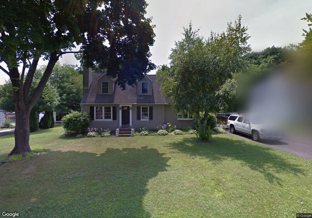
1123 Hoover Ave Feasterville Trevose, PA 19053
Estimated Value: $449,476 - $585,000
4
Beds
2
Baths
2,000
Sq Ft
$244/Sq Ft
Est. Value
About This Home
This home is located at 1123 Hoover Ave, Feasterville Trevose, PA 19053 and is currently estimated at $487,619, approximately $243 per square foot. 1123 Hoover Ave is a home located in Bucks County with nearby schools including Joseph Ferderbar Elementary School, Poquessing Middle School, and Neshaminy High School.
Ownership History
Date
Name
Owned For
Owner Type
Purchase Details
Closed on
May 16, 2003
Sold by
Drum Michael and Drum Elizabeth
Bought by
Dicesare Richard F and Dicesare Michelle D
Current Estimated Value
Home Financials for this Owner
Home Financials are based on the most recent Mortgage that was taken out on this home.
Original Mortgage
$136,000
Interest Rate
6.02%
Mortgage Type
Purchase Money Mortgage
Purchase Details
Closed on
Oct 13, 1978
Bought by
Drum Michael and Drum Elizabeth
Create a Home Valuation Report for This Property
The Home Valuation Report is an in-depth analysis detailing your home's value as well as a comparison with similar homes in the area
Home Values in the Area
Average Home Value in this Area
Purchase History
| Date | Buyer | Sale Price | Title Company |
|---|---|---|---|
| Dicesare Richard F | $170,000 | -- | |
| Drum Michael | $35,000 | -- |
Source: Public Records
Mortgage History
| Date | Status | Borrower | Loan Amount |
|---|---|---|---|
| Previous Owner | Dicesare Richard F | $136,000 |
Source: Public Records
Tax History Compared to Growth
Tax History
| Year | Tax Paid | Tax Assessment Tax Assessment Total Assessment is a certain percentage of the fair market value that is determined by local assessors to be the total taxable value of land and additions on the property. | Land | Improvement |
|---|---|---|---|---|
| 2025 | $4,596 | $21,600 | $4,920 | $16,680 |
| 2024 | $4,596 | $21,600 | $4,920 | $16,680 |
| 2023 | $4,552 | $21,600 | $4,920 | $16,680 |
| 2022 | $4,431 | $21,600 | $4,920 | $16,680 |
| 2021 | $4,431 | $21,600 | $4,920 | $16,680 |
| 2020 | $4,377 | $21,600 | $4,920 | $16,680 |
| 2019 | $4,277 | $21,600 | $4,920 | $16,680 |
| 2018 | $4,198 | $21,600 | $4,920 | $16,680 |
| 2017 | $4,088 | $21,600 | $4,920 | $16,680 |
| 2016 | $4,088 | $21,600 | $4,920 | $16,680 |
| 2015 | $3,077 | $21,600 | $4,920 | $16,680 |
| 2014 | $3,077 | $21,600 | $4,920 | $16,680 |
Source: Public Records
Map
Nearby Homes
- 131 W Street Rd
- 1107 Roberts Ave
- 1305 Roberts Ave
- 14 Milton St
- 27 N Westview Ave
- 39 Woodbine Ave
- 113 Creekwood Dr
- 8 Sienna Place
- 4 Sienna Place
- 1700 Colonial Dr
- 0 Crocus Rd
- 1515 N Meadowbrook Rd
- 503 W Pine St
- 1215 W Pine St
- 387 Larchwood Ave
- 419 Cedar Ave
- 1255 Valley Hill Trail
- 907 Sterner Mill Rd
- 402 Larchwood Ave
- 721 Grantham Ct
- 96 Samuel St
- 1119 Hoover Ave
- 1133 Hoover Ave
- 1128 Hoover Ave
- 1120 Hoover Ave
- 1139 Hoover Ave
- 1111 Hoover Ave
- 1140 Bustleton Pike
- 1140 Hoover Ave
- 108 Samuel St
- 1110 Hoover Ave
- 1147 Hoover Ave
- 111 Phillips Ave
- 1107 Hoover Ave
- 109 Samuel St
- 110 Phillips Ave
- 116 Samuel St
- 1104 Hoover Ave
- 117 Phillips Ave
- 1153 Hoover Ave