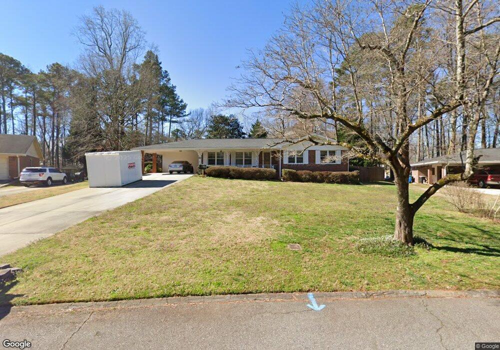
1123 Lanford Cir SW Unit 1 Lilburn, GA 30047
Estimated Value: $304,397 - $377,000
3
Beds
2
Baths
1,557
Sq Ft
$217/Sq Ft
Est. Value
About This Home
This home is located at 1123 Lanford Cir SW Unit 1, Lilburn, GA 30047 and is currently estimated at $338,349, approximately $217 per square foot. 1123 Lanford Cir SW Unit 1 is a home located in Gwinnett County with nearby schools including Camp Creek Elementary School, Trickum Middle School, and Parkview High School.
Ownership History
Date
Name
Owned For
Owner Type
Purchase Details
Closed on
Sep 25, 2025
Sold by
Dehart June S
Bought by
Dillard David T and Nicholson Debra M
Current Estimated Value
Purchase Details
Closed on
Feb 18, 1994
Sold by
Head James H Gwendolyn
Bought by
Dehart Lonnie C June
Home Financials for this Owner
Home Financials are based on the most recent Mortgage that was taken out on this home.
Original Mortgage
$85,000
Interest Rate
7.04%
Create a Home Valuation Report for This Property
The Home Valuation Report is an in-depth analysis detailing your home's value as well as a comparison with similar homes in the area
Home Values in the Area
Average Home Value in this Area
Purchase History
| Date | Buyer | Sale Price | Title Company |
|---|---|---|---|
| Dillard David T | -- | -- | |
| Dehart Lonnie C June | $89,500 | -- |
Source: Public Records
Mortgage History
| Date | Status | Borrower | Loan Amount |
|---|---|---|---|
| Previous Owner | Dehart Lonnie C June | $85,000 |
Source: Public Records
Tax History Compared to Growth
Tax History
| Year | Tax Paid | Tax Assessment Tax Assessment Total Assessment is a certain percentage of the fair market value that is determined by local assessors to be the total taxable value of land and additions on the property. | Land | Improvement |
|---|---|---|---|---|
| 2024 | $814 | $123,920 | $22,200 | $101,720 |
| 2023 | $814 | $105,280 | $25,600 | $79,680 |
| 2022 | $0 | $105,280 | $25,600 | $79,680 |
| 2021 | $695 | $82,120 | $20,000 | $62,120 |
| 2020 | $695 | $77,360 | $17,600 | $59,760 |
| 2019 | $695 | $70,240 | $17,600 | $52,640 |
| 2018 | $695 | $70,240 | $17,600 | $52,640 |
| 2016 | $737 | $57,680 | $13,600 | $44,080 |
| 2015 | $752 | $53,480 | $9,600 | $43,880 |
| 2014 | $757 | $53,480 | $9,600 | $43,880 |
Source: Public Records
Map
Nearby Homes
- 1334 Jennie Ln SW
- 5125 Ophelia Ct SW
- 5145 Apollo Ln SW
- 1054 Morgan Garner Dr SW
- 881 Rockbridge Rd SW
- 811 Sweet Pine Brook
- 5104 Onawa Ct SW
- 1404 Megan Danielle Dr SW
- 1394 Rockbridge Rd
- 5176 Ashford Ct SW
- 5002 Abbey Ln SW
- 1468 Bristolwood Ct SW
- 1075 Westchester Dr SW
- 851 Rockbridge Rd SW
- 717 Oxford Ct SW
- 771 Mountainbrooke Cir SW
- 5033 Charlemagne Way SW
- 914 Newcastle Dr SW Unit 2
- 1113 Lanford Cir SW
- 1129 Lanford Cir SW
- 1104 Lassiter Dr
- 1109 Lanford Cir SW
- 1143 Landford Cir
- 1143 Lanford Cir SW
- 1150 Brown Rd SW
- 1112 Lanford Cir SW Unit 1
- 1194 Lassiter Dr
- 1103 Lanford Cir SW
- 1102 Lanford Cir SW
- 1198 Brown Rd SW
- 1105 Lassiter Dr
- 1153 Lanford Cir SW Unit 1
- 1153 Lanford Cir SW
- 1153 Lanford Cir SW Unit 1153
- 5311 Garner Ridge Ct SW
- 5178 Ashley Dr SW
- 5168 Ashley Dr SW
- 5312 Garner Ridge Ct SW