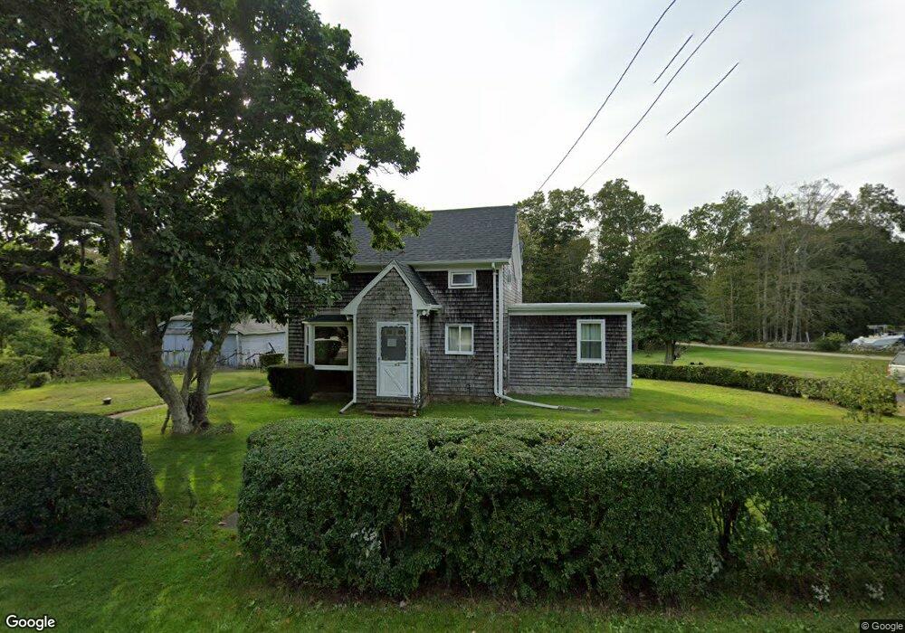
1123 Main Rd Westport, MA 02790
Westport Point NeighborhoodEstimated Value: $415,000 - $777,000
3
Beds
--
Bath
1,677
Sq Ft
$377/Sq Ft
Est. Value
About This Home
This home is located at 1123 Main Rd, Westport, MA 02790 and is currently estimated at $632,574, approximately $377 per square foot. 1123 Main Rd is a home located in Bristol County with nearby schools including Alice A. Macomber Primary School, Westport Elementary School, and Westport Middle-High School.
Ownership History
Date
Name
Owned For
Owner Type
Purchase Details
Closed on
Jan 4, 2019
Sold by
Fernandes Michael and Fernandes Donna M
Bought by
Donna M Fernandes Irt
Current Estimated Value
Purchase Details
Closed on
Oct 9, 2013
Sold by
Fernandes Michael and Fernandes Donna M
Bought by
Fernandes Michael and Fernandes Donna M
Home Financials for this Owner
Home Financials are based on the most recent Mortgage that was taken out on this home.
Original Mortgage
$85,000
Interest Rate
4.53%
Mortgage Type
New Conventional
Purchase Details
Closed on
Nov 15, 1977
Bought by
Fernandes Michael and Fernandes Donna M
Create a Home Valuation Report for This Property
The Home Valuation Report is an in-depth analysis detailing your home's value as well as a comparison with similar homes in the area
Home Values in the Area
Average Home Value in this Area
Purchase History
| Date | Buyer | Sale Price | Title Company |
|---|---|---|---|
| Donna M Fernandes Irt | -- | -- | |
| Fernandes Michael | -- | -- | |
| Fernandes Michael | -- | -- |
Source: Public Records
Mortgage History
| Date | Status | Borrower | Loan Amount |
|---|---|---|---|
| Previous Owner | Fernandes Michael | $85,000 | |
| Previous Owner | Fernandes Michael | $80,000 | |
| Previous Owner | Fernandes Michael | $60,000 | |
| Previous Owner | Fernandes Michael | $18,500 |
Source: Public Records
Tax History Compared to Growth
Tax History
| Year | Tax Paid | Tax Assessment Tax Assessment Total Assessment is a certain percentage of the fair market value that is determined by local assessors to be the total taxable value of land and additions on the property. | Land | Improvement |
|---|---|---|---|---|
| 2025 | $3,297 | $442,600 | $225,900 | $216,700 |
| 2024 | $3,256 | $421,200 | $209,300 | $211,900 |
| 2023 | $3,158 | $387,000 | $185,600 | $201,400 |
| 2022 | $3,005 | $354,400 | $185,600 | $168,800 |
| 2021 | $2,948 | $342,000 | $168,700 | $173,300 |
| 2020 | $2,827 | $335,300 | $162,000 | $173,300 |
| 2019 | $2,682 | $324,300 | $162,000 | $162,300 |
| 2018 | $2,747 | $336,200 | $165,000 | $171,200 |
| 2017 | $2,632 | $330,200 | $165,000 | $165,200 |
| 2016 | $2,561 | $323,800 | $165,000 | $158,800 |
| 2015 | $2,402 | $302,900 | $168,700 | $134,200 |
Source: Public Records
Map
Nearby Homes
- 1346 Main Rd Unit B
- 101 Adamsville Rd
- 225 Hixbridge Rd
- 920 Drift Rd
- 837 Main Rd
- 8 Village Way
- 7 Village Way
- 15 Village Way
- 1580 Main Rd
- 17 Quail Trail
- 1749 Main Rd
- 99 Sylvia Ln
- 8 Strawberry Ln
- 1702J Drift Rd
- 1702 Drift Rd
- 184 Field Stone Ln
- 118 Charlotte White Rd Extension
- 1881 Main Rd
- 245 John Dyer Rd
- 978 Sodom Rd
- 1126 Main Rd
- 1145 Main Rd
- 1132 Main Rd
- LOT 4 Harvest Hill Rd
- 1143 Main Rd
- 4 Harvest Hill Rd
- 1104 Main Rd
- Lot 6 Harvest Hill Rd
- 4 Brothers Way
- 7 Harvest Hill Rd
- 1103 Main Rd
- 1 Brothers Way
- 1156 Main Rd
- 7 Brothers Way
- 1095 Main Rd
- 6 Harvest Hill Rd
- 10 Swartz Way
- 1094 Main Rd
- 1100 Main Rd Unit S Middle
- 1100 Main Rd Unit SW