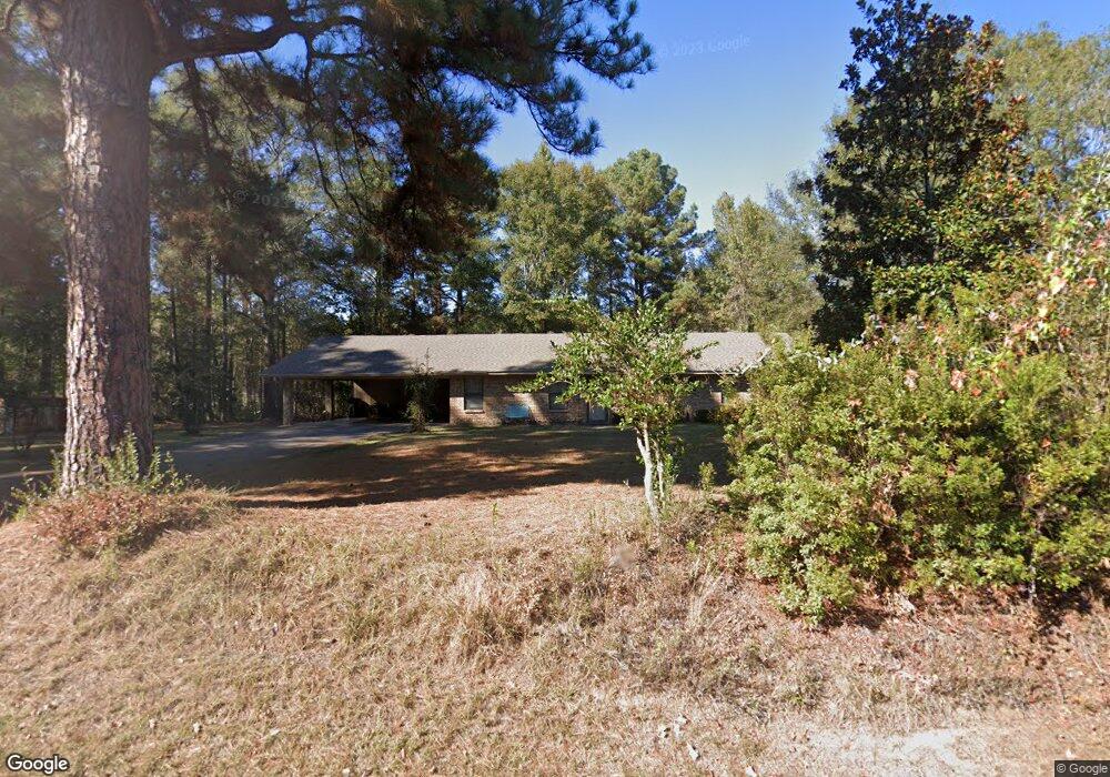
1123 Slocum Rd Calhoun, LA 71225
Estimated Value: $235,653 - $266,000
4
Beds
2
Baths
1,620
Sq Ft
$151/Sq Ft
Est. Value
About This Home
This home is located at 1123 Slocum Rd, Calhoun, LA 71225 and is currently estimated at $245,163, approximately $151 per square foot. 1123 Slocum Rd is a home located in Ouachita Parish with nearby schools including Calhoun Elementary School, Central Elementary School, and Calhoun Middle School.
Ownership History
Date
Name
Owned For
Owner Type
Purchase Details
Closed on
Aug 29, 2006
Sold by
Home Buyers Of La 105 Llc
Bought by
Cole Earl Lamar and Cole Susan Kay
Current Estimated Value
Home Financials for this Owner
Home Financials are based on the most recent Mortgage that was taken out on this home.
Original Mortgage
$82,320
Outstanding Balance
$49,571
Interest Rate
6.72%
Mortgage Type
Purchase Money Mortgage
Estimated Equity
$195,592
Purchase Details
Closed on
Jul 28, 2006
Sold by
Denton Carol Bowman Causey
Bought by
Home Buyers Of La 105 Llc
Home Financials for this Owner
Home Financials are based on the most recent Mortgage that was taken out on this home.
Original Mortgage
$82,320
Outstanding Balance
$49,571
Interest Rate
6.72%
Mortgage Type
Purchase Money Mortgage
Estimated Equity
$195,592
Create a Home Valuation Report for This Property
The Home Valuation Report is an in-depth analysis detailing your home's value as well as a comparison with similar homes in the area
Home Values in the Area
Average Home Value in this Area
Purchase History
| Date | Buyer | Sale Price | Title Company |
|---|---|---|---|
| Cole Earl Lamar | $102,900 | United Title Of Louisiana In | |
| Home Buyers Of La 105 Llc | $86,500 | None Available |
Source: Public Records
Mortgage History
| Date | Status | Borrower | Loan Amount |
|---|---|---|---|
| Open | Cole Earl Lamar | $82,320 |
Source: Public Records
Tax History Compared to Growth
Tax History
| Year | Tax Paid | Tax Assessment Tax Assessment Total Assessment is a certain percentage of the fair market value that is determined by local assessors to be the total taxable value of land and additions on the property. | Land | Improvement |
|---|---|---|---|---|
| 2024 | $551 | $13,423 | $2,280 | $11,143 |
| 2023 | $551 | $12,566 | $2,280 | $10,286 |
| 2022 | $1,118 | $12,566 | $2,280 | $10,286 |
| 2021 | $1,132 | $12,604 | $2,280 | $10,324 |
| 2020 | $1,132 | $12,604 | $2,280 | $10,324 |
| 2019 | $1,028 | $11,482 | $1,800 | $9,682 |
| 2018 | $357 | $11,481 | $1,800 | $9,681 |
| 2017 | $1,028 | $11,443 | $1,800 | $9,643 |
| 2016 | $1,028 | $10,290 | $1,646 | $8,644 |
| 2015 | $249 | $10,290 | $1,646 | $8,644 |
| 2014 | $249 | $10,290 | $1,646 | $8,644 |
| 2013 | $248 | $10,290 | $1,646 | $8,644 |
Source: Public Records
Map
Nearby Homes
- 000 J T Griggs Rd Unit 454 J T Griggs Road
- 00 J T Griggs Rd Unit 454 J T Griggs Road
- 454 J T Griggs Rd
- 0 J T Griggs Rd Unit 454 J T Griggs Road
- 159 Chapel Ln
- 205 Chapel Hill Place
- 0 (A) Carter Rd
- 0 (B) Carter Rd
- 000 C Carter Rd
- 257 Sugarloaf Dr
- 137 Patricks Cove
- 144 Patricks Cove
- 201 Glen Acres Rd
- 154 Patricks Cove
- 3235 Highway 15
- 000 Strozier Rd
- 3375 Highway 15
- 158 Rex Robertson Rd
- 116 Mountain Rd
- 171 Chimney Hill Rd
- 1091 Slocum Rd
- 1151 Slocum Rd
- 1169 Slocum Rd
- 1071 Slocum Rd
- 1089 Slocum Rd
- 1183 Slocum Rd
- 1038 Slocum Rd
- 1047 Slocum Rd
- 1012 Slocum Rd
- 1014 Slocum Rd
- 756 Matt Hammonds Rd
- 1016 Slocum Rd
- 1204 Slocum Rd
- 1222 Slocum Rd
- 228 Hodge Watson Rd
- 763 Matt Hammonds Rd
- 989 Slocum Rd
- 232 Hodge Watson Rd
- 971 Slocum Rd
- 162 Hodge Watson Rd