Estimated Value: $4,236,784
--
Bed
--
Bath
5,000
Sq Ft
$847/Sq Ft
Est. Value
About This Home
This home is located at 1123 State Route 23, Wayne, NJ 07470 and is currently estimated at $4,236,784, approximately $847 per square foot. 1123 State Route 23 is a home located in Passaic County with nearby schools including Ryerson Elementary School, George Washington Middle School, and Wayne Valley High School.
Ownership History
Date
Name
Owned For
Owner Type
Purchase Details
Closed on
Jan 22, 2025
Sold by
Terra Vest Associates Llc
Bought by
1123 Rt 23 Llc
Current Estimated Value
Home Financials for this Owner
Home Financials are based on the most recent Mortgage that was taken out on this home.
Original Mortgage
$4,000,000
Outstanding Balance
$3,932,002
Interest Rate
1.75%
Mortgage Type
New Conventional
Estimated Equity
$304,782
Purchase Details
Closed on
Nov 28, 1997
Sold by
Terra
Bought by
Terra Vest Associates Llc
Create a Home Valuation Report for This Property
The Home Valuation Report is an in-depth analysis detailing your home's value as well as a comparison with similar homes in the area
Home Values in the Area
Average Home Value in this Area
Purchase History
| Date | Buyer | Sale Price | Title Company |
|---|---|---|---|
| 1123 Rt 23 Llc | $4,000,000 | Empire Title | |
| 1123 Rt 23 Llc | $4,000,000 | Empire Title | |
| Terra Vest Associates Llc | -- | -- |
Source: Public Records
Mortgage History
| Date | Status | Borrower | Loan Amount |
|---|---|---|---|
| Open | 1123 Rt 23 Llc | $4,000,000 | |
| Closed | 1123 Rt 23 Llc | $4,000,000 |
Source: Public Records
Tax History Compared to Growth
Tax History
| Year | Tax Paid | Tax Assessment Tax Assessment Total Assessment is a certain percentage of the fair market value that is determined by local assessors to be the total taxable value of land and additions on the property. | Land | Improvement |
|---|---|---|---|---|
| 2025 | $68,771 | $1,156,600 | $315,000 | $841,600 |
| 2024 | $66,134 | $1,156,600 | $315,000 | $841,600 |
| 2022 | $65,394 | $1,156,600 | $315,000 | $841,600 |
| 2021 | $65,325 | $1,156,600 | $315,000 | $841,600 |
| 2020 | $65,036 | $1,156,600 | $315,000 | $841,600 |
| 2019 | $63,775 | $1,156,600 | $315,000 | $841,600 |
| 2018 | $63,208 | $1,156,600 | $315,000 | $841,600 |
| 2017 | $62,630 | $1,156,600 | $315,000 | $841,600 |
| 2016 | $61,751 | $1,156,600 | $315,000 | $841,600 |
| 2015 | $61,011 | $1,156,600 | $315,000 | $841,600 |
| 2014 | $59,287 | $1,156,600 | $315,000 | $841,600 |
Source: Public Records
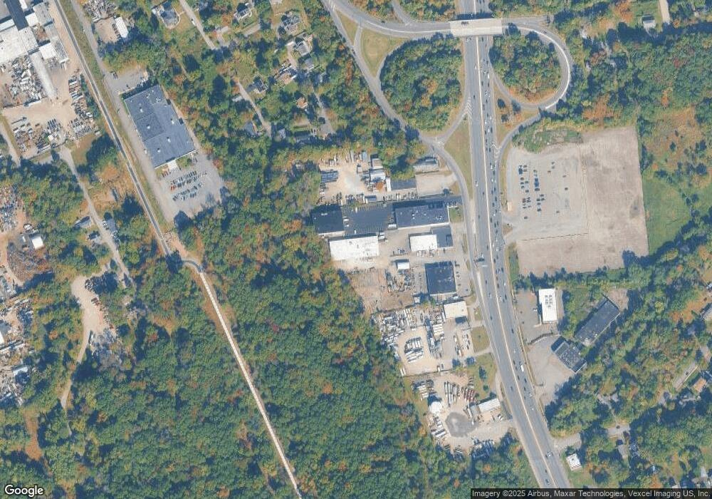
Map
Nearby Homes
- 48 Alps Rd
- 2 Brookside Rd
- 450 Boonton Turnpike
- 208 Fayette Ave
- 16 Winonah Ave
- 74 Nakomis Path
- 43 Nakomis Path
- 202 Newark Pompton Turnpike
- 16 Marlo Rd
- 1 Todd Terrace
- 60 Brandon Ave
- 30 S Valley Rd
- 28 Oak St
- 27 Iroquois Ave
- 82 Pocohontas Path
- 92 Susquehanna Ave
- 38 Stirling Ln
- 18 Hope Terrace
- 237 Whitmore Ave
- 78 van Duyne Ave