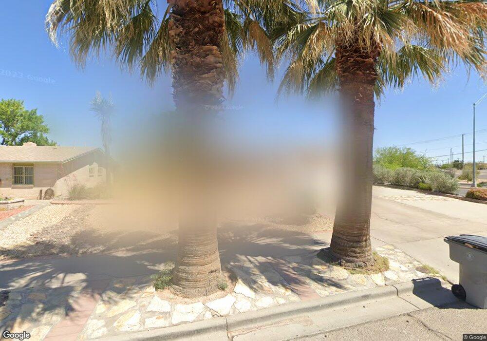
11231 Les Peterson Ln El Paso, TX 79936
Vista Del Sol NeighborhoodEstimated Value: $212,000 - $230,000
--
Bed
2
Baths
1,518
Sq Ft
$144/Sq Ft
Est. Value
About This Home
This home is located at 11231 Les Peterson Ln, El Paso, TX 79936 and is currently estimated at $218,258, approximately $143 per square foot. 11231 Les Peterson Ln is a home located in El Paso County with nearby schools including Tierra Del Sol Elementary School, J M Hanks High School, and EL PASO LEADERSHIP ACADEMY - MIDDLE EAST.
Ownership History
Date
Name
Owned For
Owner Type
Purchase Details
Closed on
Aug 16, 2002
Sold by
Bianco Carlos A and Bianco Anete
Bought by
Taylor Jason A and Taylor Elena A
Current Estimated Value
Home Financials for this Owner
Home Financials are based on the most recent Mortgage that was taken out on this home.
Original Mortgage
$63,200
Outstanding Balance
$26,839
Interest Rate
6.6%
Mortgage Type
Stand Alone First
Estimated Equity
$191,419
Purchase Details
Closed on
Jun 28, 1995
Sold by
Martinez Luz Elena and Contreras Luz Elena
Bought by
Bianco Carlos A and Bianco Anete
Home Financials for this Owner
Home Financials are based on the most recent Mortgage that was taken out on this home.
Original Mortgage
$72,750
Interest Rate
7.79%
Create a Home Valuation Report for This Property
The Home Valuation Report is an in-depth analysis detailing your home's value as well as a comparison with similar homes in the area
Home Values in the Area
Average Home Value in this Area
Purchase History
| Date | Buyer | Sale Price | Title Company |
|---|---|---|---|
| Taylor Jason A | -- | -- | |
| Bianco Carlos A | -- | -- |
Source: Public Records
Mortgage History
| Date | Status | Borrower | Loan Amount |
|---|---|---|---|
| Open | Taylor Jason A | $63,200 | |
| Previous Owner | Bianco Carlos A | $72,750 | |
| Closed | Taylor Jason A | $11,850 |
Source: Public Records
Tax History Compared to Growth
Tax History
| Year | Tax Paid | Tax Assessment Tax Assessment Total Assessment is a certain percentage of the fair market value that is determined by local assessors to be the total taxable value of land and additions on the property. | Land | Improvement |
|---|---|---|---|---|
| 2025 | $3,515 | $208,000 | $42,190 | $165,810 |
| 2024 | $3,515 | $193,199 | -- | -- |
| 2023 | $3,515 | $175,635 | $0 | $0 |
| 2022 | $3,774 | $159,668 | $0 | $0 |
| 2021 | $4,718 | $145,153 | $23,004 | $122,149 |
| 2020 | $4,293 | $135,933 | $20,172 | $115,761 |
| 2018 | $4,347 | $139,799 | $20,172 | $119,627 |
| 2017 | $3,906 | $127,796 | $20,172 | $107,624 |
| 2016 | $3,906 | $127,796 | $20,172 | $107,624 |
| 2015 | $3,191 | $127,796 | $20,172 | $107,624 |
| 2014 | $3,191 | $133,359 | $20,172 | $113,187 |
Source: Public Records
Map
Nearby Homes
- 1804 Jerry Abbott St
- 1739 Jerry Abbott St
- 2101 E Glen Dr
- 1913 Seagull Dr
- 1868 Tom Bolt Dr
- 1700 Jerry Abbott St
- 3655 George Dieter Dr
- 1703 Robert Wynn St
- 1935 Bay City Place
- 2604 Anise Dr
- 11204 Bob Mitchell Dr
- 2029 Greenlee Dr
- 1817 Hugh Royer Place
- 2348 Sea Side Dr
- 1733 Karl Wyler Dr
- 11276 Skipper Dr
- 2078 Gus Moran St
- 1607 Tommy Aaron Dr
- 1617 Tommy Aaron Dr
- 1901 Bobby Jones Dr
- 11229 Les Peterson Ln
- 11227 Les Peterson Ln
- 11230 Les Peterson Ln
- 11228 Les Peterson Ln
- 11225 Les Peterson Ln
- 1828 Ron Cerrudo St
- 11223 Les Peterson Ln
- 8585 Paul Moran Place
- 1826 Ron Cerrudo St
- 11221 Les Peterson Ln
- 1829 Ron Cerrudo St
- 1824 Ron Cerrudo St
- 1827 Ron Cerrudo St
- 11219 Les Peterson Ln
- 1822 Ron Cerrudo St
- 1822 Ron Cerrudo St Unit 1
- 1825 Ron Cerrudo St
- 1828 Russ Randall St
- 11217 Les Peterson Ln
- 1826 Russ Randall St