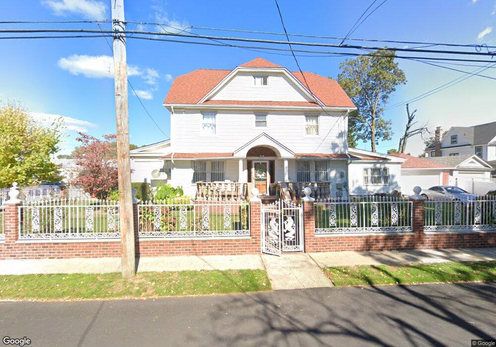
11233 Hannibal St Saint Albans, NY 11412
Hollis NeighborhoodEstimated Value: $836,000 - $945,608
--
Bed
--
Bath
2,667
Sq Ft
$335/Sq Ft
Est. Value
About This Home
This home is located at 11233 Hannibal St, Saint Albans, NY 11412 and is currently estimated at $893,902, approximately $335 per square foot. 11233 Hannibal St is a home located in Queens County with nearby schools including P.S. 118 Lorraine Hansberry, I.S. 192 The Linden, and Riverton Street Charter School.
Ownership History
Date
Name
Owned For
Owner Type
Purchase Details
Closed on
Aug 1, 1997
Sold by
Lexus Development Corp
Bought by
Colquhoun Ronald
Current Estimated Value
Home Financials for this Owner
Home Financials are based on the most recent Mortgage that was taken out on this home.
Original Mortgage
$177,486
Interest Rate
7.46%
Purchase Details
Closed on
Apr 23, 1997
Sold by
All Borough Inc
Bought by
Lexus Development Corp
Home Financials for this Owner
Home Financials are based on the most recent Mortgage that was taken out on this home.
Original Mortgage
$123,000
Interest Rate
15%
Purchase Details
Closed on
Oct 18, 1996
Sold by
Greenpoint Bank
Bought by
All Burough Inc
Home Financials for this Owner
Home Financials are based on the most recent Mortgage that was taken out on this home.
Original Mortgage
$63,000
Interest Rate
6.4%
Create a Home Valuation Report for This Property
The Home Valuation Report is an in-depth analysis detailing your home's value as well as a comparison with similar homes in the area
Home Values in the Area
Average Home Value in this Area
Purchase History
| Date | Buyer | Sale Price | Title Company |
|---|---|---|---|
| Colquhoun Ronald | $191,000 | First American Title Ins Co | |
| Lexus Development Corp | $136,500 | Stewart Title Insurance Co | |
| All Burough Inc | $90,000 | Ticor Title Guarantee Compan |
Source: Public Records
Mortgage History
| Date | Status | Borrower | Loan Amount |
|---|---|---|---|
| Previous Owner | Colquhoun Ronald | $177,486 | |
| Previous Owner | Lexus Development Corp | $123,000 | |
| Previous Owner | All Burough Inc | $63,000 |
Source: Public Records
Tax History Compared to Growth
Tax History
| Year | Tax Paid | Tax Assessment Tax Assessment Total Assessment is a certain percentage of the fair market value that is determined by local assessors to be the total taxable value of land and additions on the property. | Land | Improvement |
|---|---|---|---|---|
| 2025 | $7,996 | $43,685 | $15,515 | $28,170 |
| 2024 | $8,008 | $41,213 | $13,795 | $27,418 |
| 2023 | $7,528 | $38,880 | $11,929 | $26,951 |
| 2022 | $7,475 | $56,640 | $19,200 | $37,440 |
| 2021 | $7,577 | $50,280 | $19,200 | $31,080 |
| 2020 | $7,410 | $48,780 | $19,200 | $29,580 |
| 2019 | $6,892 | $53,700 | $19,200 | $34,500 |
| 2018 | $6,307 | $32,400 | $16,251 | $16,149 |
| 2017 | $6,305 | $32,400 | $17,165 | $15,235 |
| 2016 | $5,922 | $32,400 | $17,165 | $15,235 |
| 2015 | $3,497 | $30,337 | $19,530 | $10,807 |
| 2014 | $3,497 | $28,620 | $19,822 | $8,798 |
Source: Public Records
Map
Nearby Homes
- 191-40 112th Rd
- 19022 111th Rd
- 18833 Keeseville Ave
- 190-59 112th Ave
- 190-63 112th Ave
- 18908 114th Rd
- 188-25 Mangin Ave
- 18823 Mangin Ave
- 194-16 112th Ave
- 187-44 Jordan Ave
- 188-07 Mangin Ave
- 111-06 Farmers Blvd
- 191-16 114th Rd
- 188-31 Jordan Ave
- 191-34 114th Rd
- 194-29 112th Ave
- 194- 24 111th Rd
- 19427 Murdock Ave
- 19432 113th Rd
- 194-23 114th Rd
- 19008 Lewiston Ave
- 11245 Hannibal St
- 19007 113th Ave
- 11230 Farmers Blvd
- 19007 113th Ave
- 18946 Lewiston Ave
- 11236 Hannibal St
- 19003 Lewiston Ave
- 19007 Lewiston Ave
- 11246 Hannibal St
- 19011 Lewiston Ave
- 18945 Lewiston Ave
- 19011 Lewiston Ave
- 189-38 Hannibal St
- 18941 Lewiston Ave
- 18938 Lewiston Ave
- 112-20 Farmers Blvd
- 11302 Farmers Blvd
- 18941 Lewiston Ave
- 18937 113th Ave