Estimated Value: $270,000
--
Bed
--
Bath
1,774
Sq Ft
$152/Sq Ft
Est. Value
About This Home
This home is located at 11233 Us Highway 19 S, Perry, FL 32348 and is currently estimated at $270,000, approximately $152 per square foot. 11233 Us Highway 19 S is a home with nearby schools including Steinhatchee School, Perry Primary School, and Taylor County Elementary School.
Ownership History
Date
Name
Owned For
Owner Type
Purchase Details
Closed on
Jun 16, 2017
Sold by
Smith Daniel Morgan
Bought by
Smith Daniel Morgan and Dodimead Shanna Ruth
Current Estimated Value
Purchase Details
Closed on
Jun 1, 2017
Bought by
Smith Daniel Morgan Le
Purchase Details
Closed on
Jan 26, 2012
Sold by
Morgan Deesie M
Bought by
Smith Daniel Morgan
Purchase Details
Closed on
Jan 24, 2012
Sold by
Morgan Marty B
Bought by
Morgan Deesie M
Purchase Details
Closed on
Jan 15, 2003
Sold by
Morgan Bryant W and Morgan Deesie M
Bought by
Morgan Marty B
Create a Home Valuation Report for This Property
The Home Valuation Report is an in-depth analysis detailing your home's value as well as a comparison with similar homes in the area
Home Values in the Area
Average Home Value in this Area
Purchase History
| Date | Buyer | Sale Price | Title Company |
|---|---|---|---|
| Smith Daniel Morgan | -- | Attorney | |
| Smith Daniel Morgan | -- | Attorney | |
| Smith Daniel Morgan Le | $100 | -- | |
| Smith Daniel Morgan | $50,000 | Frith Abstract & Title Co | |
| Morgan Deesie M | -- | Frith Abstract & Title Co | |
| Morgan Marty B | -- | -- |
Source: Public Records
Tax History Compared to Growth
Tax History
| Year | Tax Paid | Tax Assessment Tax Assessment Total Assessment is a certain percentage of the fair market value that is determined by local assessors to be the total taxable value of land and additions on the property. | Land | Improvement |
|---|---|---|---|---|
| 2024 | $584 | $130,880 | -- | -- |
| 2022 | $584 | $56,030 | $0 | $0 |
| 2021 | $540 | $54,440 | $0 | $0 |
| 2020 | $526 | $51,760 | $0 | $0 |
| 2019 | $525 | $50,640 | $0 | $0 |
| 2018 | $0 | $49,740 | $0 | $0 |
| 2017 | $1,143 | $59,750 | $4,970 | $54,780 |
| 2016 | $492 | $60,620 | $4,840 | $55,780 |
| 2015 | $413 | $67,240 | $10,470 | $56,770 |
| 2014 | -- | $50,672 | $0 | $0 |
Source: Public Records
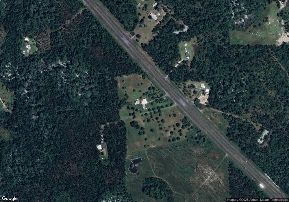
Map
Nearby Homes
- 0 S US 19 Hwy Unit 391026
- 5481 Turner Rd
- 7070 U S 19
- 8622 Beach Rd
- 0 Seagrass Dr Unit MFRTB8421510
- 7480 Beach Rd
- 5582 H P Padgett Rd
- 2411 Lonnie Houck Rd
- 0 Lonnie Houck Rd
- TBD Harold Davis Rd
- 00 Leroy Lyons Rd Unit LotWP001
- 00 Leroy Lyons Rd
- 15592 Blue Crab Dr
- 13535 N Gulf Manor
- 15159 E Royal Oak Dr
- 15237 E Royal Oak Dr
- 17310 E Royal Oak Dr
- 0 Stone Crab Unit MFRTB8418647
- 000 Mixon Rd
- 3195 Henry Gibson Rd
- 11249 U S 19
- 1103 Us Highway 98 Unit 2
- 11244 Us Highway 19 S
- 1150 S Byron Butler Pkwy
- 1070 S Byron Butler Pkwy
- 11029 Us Hwy 19 S
- 11244 U S 19
- 10767 Bill Howell Rd
- 00 Us 19 S
- 0 Us Hwy 98 Unit 193608
- 10755 Bill Howell Rd
- 1033 Bill Howell Rd Rd
- 11595 Us Highway 19 S
- 6340 Austin McDonald Rd
- 6451 Austin-McDonald Rd
- 11119 Bill Howell Rd
- 10522 Bill Howell Rd
- 0 Bill Howell Rd Unit 302757
- 0 Bill Howell Rd Unit 292633
- 7595 Airport Grade