11235 E Brown Rd Mesa, AZ 85207
Northeast Mesa NeighborhoodEstimated Value: $1,118,000 - $1,199,000
Studio
1
Bath
4,808
Sq Ft
$241/Sq Ft
Est. Value
About This Home
This home is located at 11235 E Brown Rd, Mesa, AZ 85207 and is currently estimated at $1,156,739, approximately $240 per square foot. 11235 E Brown Rd is a home with nearby schools including Sousa Elementary School, Franklin at Brimhall Elementary School, and Franklin West Elementary School.
Ownership History
Date
Name
Owned For
Owner Type
Purchase Details
Closed on
Jul 11, 2017
Sold by
Oberle Michael
Bought by
Oberle Michael and Oberle Donovan
Current Estimated Value
Purchase Details
Closed on
Aug 19, 2013
Sold by
Oberle Michael and Oberle Roseann M
Bought by
Oberle Michael and Hagen Virginia J Del
Purchase Details
Closed on
Mar 2, 2011
Sold by
Bolen Ellen
Bought by
Bolen Ellen and The Ellen Bolen Revocable Trust
Purchase Details
Closed on
Nov 20, 1997
Sold by
Boyd Michael Warren
Bought by
Willis Alfred W and Willis Leita C
Purchase Details
Closed on
Nov 1, 1994
Sold by
Doyle Mary Ann
Bought by
Boyd Michael Warren
Create a Home Valuation Report for This Property
The Home Valuation Report is an in-depth analysis detailing your home's value as well as a comparison with similar homes in the area
Home Values in the Area
Average Home Value in this Area
Purchase History
| Date | Buyer | Sale Price | Title Company |
|---|---|---|---|
| Oberle Michael | -- | None Available | |
| Oberle Michael | -- | None Available | |
| Bolen Ellen | -- | None Available | |
| Willis Alfred W | -- | -- | |
| Boyd Michael Warren | -- | -- |
Source: Public Records
Tax History
| Year | Tax Paid | Tax Assessment Tax Assessment Total Assessment is a certain percentage of the fair market value that is determined by local assessors to be the total taxable value of land and additions on the property. | Land | Improvement |
|---|---|---|---|---|
| 2025 | $3,865 | $42,865 | -- | -- |
| 2024 | $3,912 | $40,824 | -- | -- |
| 2023 | $3,912 | $72,360 | $14,470 | $57,890 |
| 2022 | $520 | $54,570 | $10,910 | $43,660 |
| 2021 | $518 | $50,680 | $10,130 | $40,550 |
| 2020 | $514 | $47,980 | $9,590 | $38,390 |
| 2019 | $715 | $10,845 | $10,845 | $0 |
| 2018 | $697 | $10,605 | $10,605 | $0 |
| 2017 | $673 | $9,855 | $9,855 | $0 |
| 2016 | $656 | $10,035 | $10,035 | $0 |
Source: Public Records
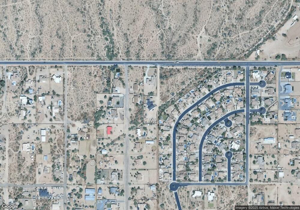
Map
Nearby Homes
- 1104 N Mountain Rd
- 1105 N 110th St
- 820 N 111th St
- 833 N 110th St
- 813 N 110th St
- 11443 E Ellis St
- 11248 E Dartmouth Cir
- 11515 E Ellis St
- 11363 E Dartmouth St
- 11349 E Des Moines Cir
- 10745 E Evergreen St
- 11029 E Decatur St
- 11058 E Cholla Rd
- 0 N 106th Place Unit 6994936
- 538 N 110th St
- 456 N Opal
- 11340 E Caballero St
- 535 N Bailey Cir
- 2975 W Manzanita St
- 2200 N Delaware Dr Unit 62
- 1125 N Mountain Rd
- 1066 N Opal
- 1141 N Mountain Rd
- 11308 E Fairbrook St
- 1049 N Mountain Rd
- 11316 E Fairbrook St
- 11223 E Brown Rd
- 1054 N Opal
- 1128 N Mountain Rd
- 11324 E Fairbrook St
- 1136 N Mountain Rd
- 11309 E Fairbrook St
- 1063 N Opal
- 1043 N Mountain Rd
- 1042 N Opal
- 11323 E Fairbrook St
- 1051 N Opal
- 11332 E Fairbrook St
- 1052 N Mountain Rd
- 11145 E Brown Rd
Your Personal Tour Guide
Ask me questions while you tour the home.