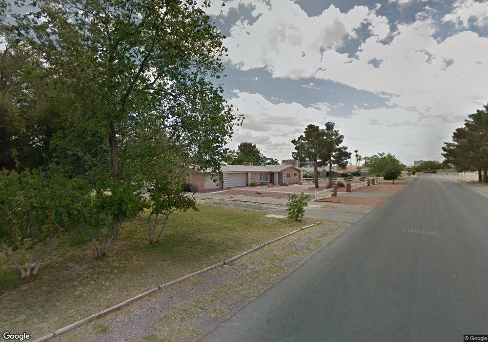
1124 Comstock Dr Las Vegas, NV 89106
West Las Vegas NeighborhoodEstimated Value: $533,733 - $634,000
3
Beds
2
Baths
1,934
Sq Ft
$298/Sq Ft
Est. Value
About This Home
This home is located at 1124 Comstock Dr, Las Vegas, NV 89106 and is currently estimated at $576,933, approximately $298 per square foot. 1124 Comstock Dr is a home located in Clark County with nearby schools including Wendell P. Williams Elementary School, West Prepatory Academy At Charlles I West Hall Sec, and Western High School.
Ownership History
Date
Name
Owned For
Owner Type
Purchase Details
Closed on
Mar 17, 2004
Sold by
Embree David L and Bordeaux William B
Bought by
Fields Swayzine N
Current Estimated Value
Home Financials for this Owner
Home Financials are based on the most recent Mortgage that was taken out on this home.
Original Mortgage
$193,500
Outstanding Balance
$82,140
Interest Rate
4.37%
Mortgage Type
Unknown
Estimated Equity
$494,793
Purchase Details
Closed on
Jul 31, 2001
Sold by
Embree David L
Bought by
Embree David L and Bordeaux William B
Create a Home Valuation Report for This Property
The Home Valuation Report is an in-depth analysis detailing your home's value as well as a comparison with similar homes in the area
Home Values in the Area
Average Home Value in this Area
Purchase History
| Date | Buyer | Sale Price | Title Company |
|---|---|---|---|
| Fields Swayzine N | $215,000 | Fidelity National Title | |
| Embree David L | $93,630 | -- |
Source: Public Records
Mortgage History
| Date | Status | Borrower | Loan Amount |
|---|---|---|---|
| Open | Fields Swayzine N | $193,500 |
Source: Public Records
Tax History Compared to Growth
Tax History
| Year | Tax Paid | Tax Assessment Tax Assessment Total Assessment is a certain percentage of the fair market value that is determined by local assessors to be the total taxable value of land and additions on the property. | Land | Improvement |
|---|---|---|---|---|
| 2025 | $1,547 | $92,615 | $59,500 | $33,115 |
| 2024 | $1,503 | $92,615 | $59,500 | $33,115 |
| 2023 | $1,503 | $89,445 | $59,500 | $29,945 |
| 2022 | $1,599 | $76,135 | $49,350 | $26,785 |
| 2021 | $1,481 | $65,188 | $40,250 | $24,938 |
| 2020 | $1,372 | $57,430 | $33,250 | $24,180 |
| 2019 | $1,286 | $56,567 | $33,250 | $23,317 |
| 2018 | $1,227 | $46,520 | $24,500 | $22,020 |
| 2017 | $1,463 | $44,634 | $22,750 | $21,884 |
| 2016 | $1,150 | $38,536 | $17,500 | $21,036 |
| 2015 | $1,146 | $35,601 | $14,000 | $21,601 |
| 2014 | $1,113 | $32,941 | $10,500 | $22,441 |
Source: Public Records
Map
Nearby Homes
- 1713 Ophir Dr
- 1310 N Tonopah Dr
- 1301 Madison Ave
- 2133 Sleepy Ct
- 2211 Sleepy Ct
- 814 W Bonanza Rd
- 1121 W Monroe Ave
- 2400 Dutchmans Pipe Ct
- 1201 Leonard Ave
- 2045 Rose Coral Ave
- 1101 Leonard Ave
- 35 Jade Cir
- 2521 Rainbow Cactus Ct
- 2520 Bottle Palm Ct
- 1018 I St
- 27 Onyx Way
- 1921 Granite Ave
- 1908 W Mesquite Ave
- 1117 Cunningham Dr
- 1604 Luning Dr
- 1116 Comstock Dr
- 1134 Comstock Dr
- 1123 Ralston Dr
- 1111 Ralston Dr
- 1131 Ralston Dr
- 1131 Comstock Dr
- 1119 Comstock Dr
- 1100 Comstock Dr
- 1200 Comstock Dr
- 1117 Comstock Dr
- 1133 Comstock Dr
- 1101 Ralston Dr
- 1101 Comstock Dr
- 1135 Comstock Dr
- 1921 Fair Ave
- 1201 Ralston Dr
- 1920 Ophir Dr
- 1130 Ralston Dr
- 1920 Fair Ave
- 1110 Ralston Dr