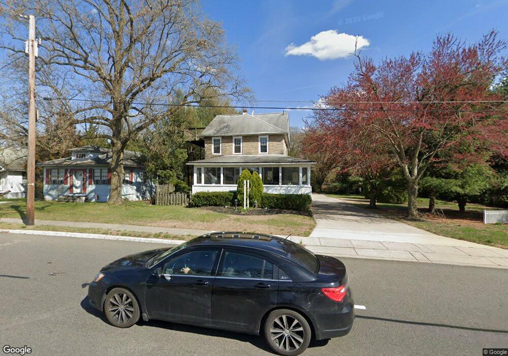
1124 Mantua Pike Mantua Township, NJ 08051
Deptford Township Neighborhood
--
Bed
--
Bath
1,990
Sq Ft
0.6
Acres
About This Home
This home is located at 1124 Mantua Pike, Mantua Township, NJ 08051. 1124 Mantua Pike is a home located in Gloucester County with nearby schools including Deptford Township High School and St Margaret Regional School.
Ownership History
Date
Name
Owned For
Owner Type
Purchase Details
Closed on
Apr 17, 2024
Sold by
Carrara Kitchens Llc
Bought by
Undici Property Llc
Purchase Details
Closed on
Apr 25, 2022
Sold by
Souder and Susan
Bought by
Carrara Kitchens Llc
Home Financials for this Owner
Home Financials are based on the most recent Mortgage that was taken out on this home.
Original Mortgage
$227,500
Interest Rate
1%
Mortgage Type
Construction
Purchase Details
Closed on
Jan 10, 2002
Sold by
Hearst Glenda
Bought by
Souder Kenneth and Souder Susan
Create a Home Valuation Report for This Property
The Home Valuation Report is an in-depth analysis detailing your home's value as well as a comparison with similar homes in the area
Home Values in the Area
Average Home Value in this Area
Purchase History
| Date | Buyer | Sale Price | Title Company |
|---|---|---|---|
| Undici Property Llc | -- | None Listed On Document | |
| Undici Property Llc | -- | None Listed On Document | |
| Carrara Kitchens Llc | $270,000 | New Title Company Name | |
| Souder Kenneth | $150,000 | Fidelity National Title |
Source: Public Records
Mortgage History
| Date | Status | Borrower | Loan Amount |
|---|---|---|---|
| Previous Owner | Carrara Kitchens Llc | $227,500 |
Source: Public Records
Tax History Compared to Growth
Tax History
| Year | Tax Paid | Tax Assessment Tax Assessment Total Assessment is a certain percentage of the fair market value that is determined by local assessors to be the total taxable value of land and additions on the property. | Land | Improvement |
|---|---|---|---|---|
| 2025 | $6,894 | $192,300 | $129,200 | $63,100 |
| 2024 | $6,673 | $192,300 | $129,200 | $63,100 |
| 2023 | $6,673 | $192,300 | $129,200 | $63,100 |
| 2022 | $6,625 | $192,300 | $129,200 | $63,100 |
| 2021 | $6,530 | $192,300 | $129,200 | $63,100 |
| 2020 | $6,456 | $192,300 | $129,200 | $63,100 |
| 2019 | $6,332 | $192,300 | $129,200 | $63,100 |
| 2018 | $6,190 | $192,300 | $129,200 | $63,100 |
| 2017 | $6,025 | $192,300 | $129,200 | $63,100 |
| 2016 | $5,902 | $192,300 | $129,200 | $63,100 |
| 2015 | $5,719 | $192,300 | $129,200 | $63,100 |
| 2014 | $5,571 | $192,300 | $129,200 | $63,100 |
Source: Public Records
Map
Nearby Homes
- 213 Barclay Ct
- 125 Ivy Ln
- 111 Cove Rd
- 7 Manchester Ct
- 807 Saint Regis Ct
- 748 Dartmouth Dr
- 100 Buddy Powell Ln
- 463 Durham Ct
- 411 Durham Ct Unit 411
- 114 Buddy Powell Ln
- 629 Vassar Rd
- 827 Saint Regis Ct
- 75 Hickory Ave
- 916 Georgetown Rd
- 313 Ogden Station Rd
- 315 Ogden Station Rd
- 711 Howard Ave
- 751 Garrison Ct
- 136 Vanderbilt Ave
- 1121 Tristram Cir Unit 1