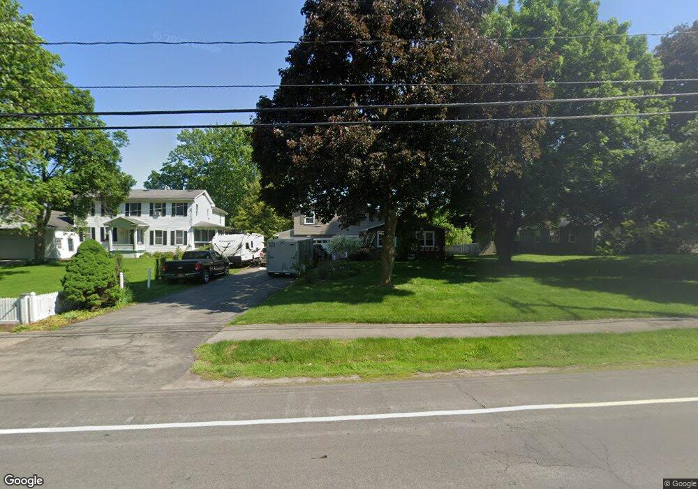
1124 Whitney Rd E Fairport, NY 14450
Estimated Value: $244,000 - $378,000
3
Beds
2
Baths
1,600
Sq Ft
$197/Sq Ft
Est. Value
About This Home
This home is located at 1124 Whitney Rd E, Fairport, NY 14450 and is currently estimated at $314,477, approximately $196 per square foot. 1124 Whitney Rd E is a home located in Monroe County with nearby schools including Jefferson Avenue Elementary School, Johanna Perrin Middle School, and Minerva Deland School.
Ownership History
Date
Name
Owned For
Owner Type
Purchase Details
Closed on
Oct 3, 2016
Sold by
Bournival Barbara and Bournival Barbara J
Bought by
Bjb Land Trust 101161124
Current Estimated Value
Purchase Details
Closed on
Jun 26, 1997
Sold by
Prudential Residential Se Rvic
Bought by
Bournival Barbara
Purchase Details
Closed on
May 26, 1997
Sold by
Mazzone Raymond A
Bought by
Purdential Residential Se Rv L
Purchase Details
Closed on
Sep 26, 1994
Sold by
Dimartino Evangelina
Bought by
Mazzone Raymond A
Create a Home Valuation Report for This Property
The Home Valuation Report is an in-depth analysis detailing your home's value as well as a comparison with similar homes in the area
Home Values in the Area
Average Home Value in this Area
Purchase History
| Date | Buyer | Sale Price | Title Company |
|---|---|---|---|
| Bjb Land Trust 101161124 | -- | None Available | |
| Bournival Barbara | $96,500 | -- | |
| Purdential Residential Se Rv L | $96,500 | -- | |
| Mazzone Raymond A | $97,000 | -- |
Source: Public Records
Tax History
| Year | Tax Paid | Tax Assessment Tax Assessment Total Assessment is a certain percentage of the fair market value that is determined by local assessors to be the total taxable value of land and additions on the property. | Land | Improvement |
|---|---|---|---|---|
| 2024 | $4,308 | $153,100 | $43,400 | $109,700 |
| 2023 | $3,127 | $153,100 | $43,400 | $109,700 |
| 2022 | $4,870 | $153,100 | $43,400 | $109,700 |
| 2021 | $4,870 | $153,100 | $43,400 | $109,700 |
| 2020 | $2,970 | $153,100 | $43,400 | $109,700 |
| 2019 | $4,486 | $153,100 | $43,400 | $109,700 |
| 2018 | $2,889 | $153,100 | $43,400 | $109,700 |
| 2017 | $3,378 | $141,800 | $43,400 | $98,400 |
| 2016 | $4,486 | $141,800 | $43,400 | $98,400 |
| 2015 | -- | $141,800 | $43,400 | $98,400 |
| 2014 | -- | $141,800 | $43,400 | $98,400 |
Source: Public Records
Map
Nearby Homes
- 1116 Whitney Rd E
- 3 Rockford Ln
- 55 Frank St
- 582 Watson Rd
- 19 Williamsburg Dr
- 67 Williamsburg Dr
- 76-78 High St Unit 76
- 70 High St
- 5 Stonebridge Crescent
- 85 E Pointe
- 14 Walpole Ct
- 26 Hanningfield Cir
- 27 Garrison Dr
- 255 Watson Rd
- 142 S Main St
- 27 South Ave
- 95 Summit St
- 9 Hollingham Rise
- 61 Camberley Place
- 43 Olde Prestwick Way
- 1132 Whitney Rd E
- 1140 Whitney Rd E
- 1108 Whitney Rd E
- 9 Wheatstone Cir
- 1125 Whitney Rd E
- 7 Wheatstone Cir
- 11 Wheatstone Cir
- 76 East St
- 1148 Whitney Rd E
- 1133 Whitney Rd E
- 1100 Whitney Rd E
- 5 Wheatstone Cir
- 72 East St
- 5 Rockford Ln
- 3 Wheatstone Cir
- 1156 Whitney Rd E
- 1135 Whitney Rd E
- 2 Homestead Dr
- 1 Rockford Ln
- 64 East St
Your Personal Tour Guide
Ask me questions while you tour the home.