11241 Stafford Rd Unit B New Carlisle, OH 45344
Estimated Value: $442,000 - $508,000
4
Beds
5
Baths
4,157
Sq Ft
$113/Sq Ft
Est. Value
About This Home
This home is located at 11241 Stafford Rd Unit B, New Carlisle, OH 45344 and is currently estimated at $469,396, approximately $112 per square foot. 11241 Stafford Rd Unit B is a home located in Clark County with nearby schools including New Carlisle Elementary School, Park Layne Elementary School, and Donnelsville Elementary School.
Ownership History
Date
Name
Owned For
Owner Type
Purchase Details
Closed on
May 16, 2016
Sold by
Smart Robert L and Estate Of John H Smart
Bought by
Sine Randy A and Sine Leslie D
Current Estimated Value
Home Financials for this Owner
Home Financials are based on the most recent Mortgage that was taken out on this home.
Original Mortgage
$195,750
Outstanding Balance
$155,474
Interest Rate
3.59%
Mortgage Type
Commercial
Estimated Equity
$313,922
Purchase Details
Closed on
Jul 22, 2009
Sold by
Estate Of Carol J Smart
Bought by
Smart John H
Create a Home Valuation Report for This Property
The Home Valuation Report is an in-depth analysis detailing your home's value as well as a comparison with similar homes in the area
Home Values in the Area
Average Home Value in this Area
Purchase History
| Date | Buyer | Sale Price | Title Company |
|---|---|---|---|
| Sine Randy A | $230,800 | None Available | |
| Smart John H | -- | None Available |
Source: Public Records
Mortgage History
| Date | Status | Borrower | Loan Amount |
|---|---|---|---|
| Open | Sine Randy A | $195,750 |
Source: Public Records
Tax History Compared to Growth
Tax History
| Year | Tax Paid | Tax Assessment Tax Assessment Total Assessment is a certain percentage of the fair market value that is determined by local assessors to be the total taxable value of land and additions on the property. | Land | Improvement |
|---|---|---|---|---|
| 2024 | $6,411 | $136,590 | $15,930 | $120,660 |
| 2023 | $6,411 | $136,590 | $15,930 | $120,660 |
| 2022 | $6,423 | $136,590 | $15,930 | $120,660 |
| 2021 | $5,593 | $105,070 | $12,250 | $92,820 |
| 2020 | $5,608 | $105,070 | $12,250 | $92,820 |
| 2019 | $5,703 | $105,070 | $12,250 | $92,820 |
| 2018 | $5,811 | $102,660 | $17,500 | $85,160 |
| 2017 | $5,683 | $102,655 | $17,500 | $85,155 |
| 2016 | $5,801 | $102,655 | $17,500 | $85,155 |
| 2015 | $5,733 | $102,655 | $17,500 | $85,155 |
| 2014 | $5,699 | $102,655 | $17,500 | $85,155 |
| 2013 | $5,712 | $102,655 | $17,500 | $85,155 |
Source: Public Records
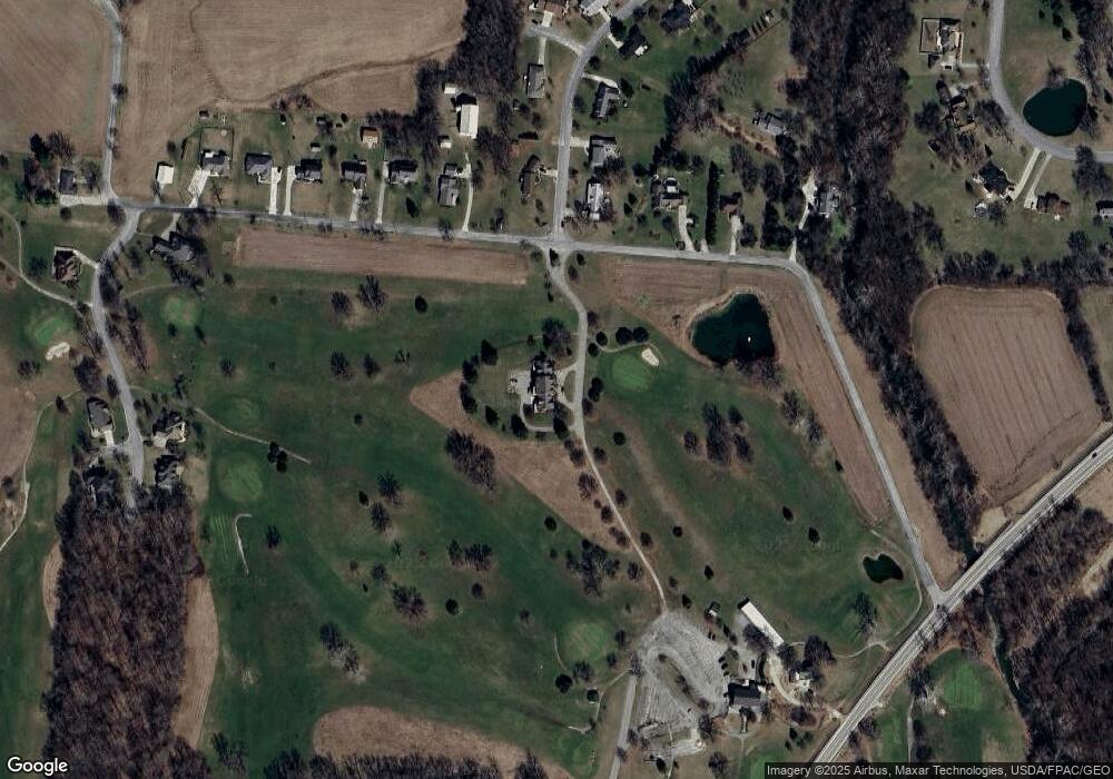
Map
Nearby Homes
- 2669 Quail Ridge Dr
- 907 Brubaker Dr
- 903 Brubaker Dr
- Henley Plan at Reserve at Honey Creek
- Harmony Plan at Reserve at Honey Creek - Ranches
- Taylor Plan at Reserve at Honey Creek
- Bellamy Plan at Reserve at Honey Creek
- Harmony Plan at Reserve at Honey Creek
- Aldridge Plan at Reserve at Honey Creek - Ranches
- Chatham Plan at Reserve at Honey Creek - Ranches
- Newcastle Plan at Reserve at Honey Creek - Ranches
- Fairton Plan at Reserve at Honey Creek
- 805 Brubaker Dr
- 801 Brubaker Dr
- 201 Monroe Way
- Palmetto Plan at Monroe Meadows
- Cooper Plan at Monroe Meadows
- Norway Plan at Monroe Meadows
- Chestnut Plan at Monroe Meadows
- Bradford Plan at Monroe Meadows
- 1 Golf Country Dr
- 2702 Country Squire Dr
- 2709 Country Squire Dr
- 11200 Stafford Rd
- 2716 Country Squire Dr
- 11298 Stafford Rd
- 11312 Stafford Rd
- 2734 Country Squire Dr
- 11316 Stafford Rd
- 2737 Country Squire Dr
- 11320 Stafford Rd
- 2742 Country Squire Dr Unit A2
- 11150 Stafford Rd
- 11334 Stafford Rd
- 2735 Plantation Dr
- 2735 Plantation Dr Unit B-1
- 2743 Country Squire Dr
- 2737 Plantation Dr Unit B3
- 11352 Stafford Rd
- 2750 Country Squire Dr