11242 SW Doris Ln Powell Butte, OR 97753
Estimated Value: $1,009,801 - $1,295,000
3
Beds
2
Baths
2,028
Sq Ft
$568/Sq Ft
Est. Value
About This Home
This home is located at 11242 SW Doris Ln, Powell Butte, OR 97753 and is currently estimated at $1,152,401, approximately $568 per square foot. 11242 SW Doris Ln is a home with nearby schools including Crooked River Elementary School, Crook County Middle School, and Crook County High School.
Ownership History
Date
Name
Owned For
Owner Type
Purchase Details
Closed on
Mar 21, 2016
Sold by
Marshall Dennis and Marshall Kristen
Bought by
Reid Jason
Current Estimated Value
Home Financials for this Owner
Home Financials are based on the most recent Mortgage that was taken out on this home.
Original Mortgage
$184,500
Interest Rate
3.65%
Mortgage Type
Seller Take Back
Purchase Details
Closed on
Sep 10, 2015
Sold by
Ashenbrenner Erwin Eric and Ashenbrenner Lavonna G
Bought by
Marshall Dennis and Marshall Kristen
Create a Home Valuation Report for This Property
The Home Valuation Report is an in-depth analysis detailing your home's value as well as a comparison with similar homes in the area
Home Values in the Area
Average Home Value in this Area
Purchase History
| Date | Buyer | Sale Price | Title Company |
|---|---|---|---|
| Reid Jason | $205,000 | Amerititle | |
| Marshall Dennis | $167,500 | Amerititle |
Source: Public Records
Mortgage History
| Date | Status | Borrower | Loan Amount |
|---|---|---|---|
| Closed | Reid Jason | $184,500 |
Source: Public Records
Tax History Compared to Growth
Tax History
| Year | Tax Paid | Tax Assessment Tax Assessment Total Assessment is a certain percentage of the fair market value that is determined by local assessors to be the total taxable value of land and additions on the property. | Land | Improvement |
|---|---|---|---|---|
| 2025 | $5,463 | $449,670 | -- | -- |
| 2024 | $5,332 | $436,580 | -- | -- |
| 2023 | $5,148 | $423,870 | $0 | $0 |
| 2022 | $4,988 | $411,530 | $0 | $0 |
| 2021 | $4,988 | $399,550 | $0 | $0 |
| 2020 | $4,850 | $387,919 | $0 | $0 |
| 2019 | $4,678 | $358,905 | $0 | $0 |
| 2018 | $4,476 | $358,905 | $0 | $0 |
| 2017 | $1,892 | $149,550 | $0 | $0 |
| 2016 | $1,425 | $111,316 | $0 | $0 |
| 2015 | $1,363 | $111,316 | $0 | $0 |
| 2013 | -- | $96,870 | $0 | $0 |
Source: Public Records
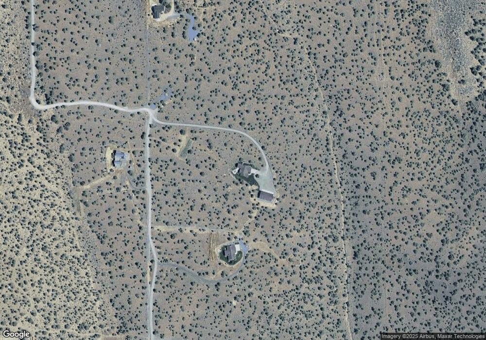
Map
Nearby Homes
- 13689 SW Bussett Rd
- 0 SW Reif Rd Unit 220210897
- 9280 SW Copley Rd
- 13646 SW Meadowlark
- 8956 SW Yahooskin Dr
- 0 Talarus Tr
- 8385 SW Copley Rd
- 405 S Meadowlark Ln
- 11705 SW Shumway Rd
- 0 SW Red Cloud Rd Unit 1356 220203006
- 13507 SW Shumway Rd
- 0 SW Antelope Dr Unit Lot 15 220194048
- 0 SW Antelope Dr Unit Lot 15 220194362
- 13501 SW Riggs Rd
- 13680 SW Rust Bucket Rd
- 15000 SW Hat Rock Loop
- 14949 SW Hat Rock Loop
- 16384 SW Grandview Rd
- 16028 SW Brasada Ranch Rd
- 0 Brasada Unit 807 220201715
- 11454 SW Doris Ln
- TL1100 SW Doris Ln
- 11367 SW Doris Ln
- 13600 SW Bussett Rd
- 540 SW Harrison Way
- 13604 SW Harrison Way
- 11825 SW Doris Ln
- 11600 SW Doris Ln
- 11847 SW Doris Ln
- 0 Doris Ln Unit 201410802
- 0 Doris Ln Unit 220118841
- 11600 SW Reif Rd
- 13602 SW Harrison Way
- 11998 SW Doris Ln
- 0 SW Doris Howlett Subdivision Unit 201610005
- 14180 SW Bussett Rd
- 0 SE Reif Rd Unit 201600384
- 0 SE Reif Rd Unit 201600381
- 0 SE Reif Rd Unit 201604731
- 13601 SW Harrison Way