11243 Heathrow Ave Spring Hill, FL 34609
Estimated Value: $249,000 - $300,046
3
Beds
2
Baths
1,728
Sq Ft
$162/Sq Ft
Est. Value
About This Home
This home is located at 11243 Heathrow Ave, Spring Hill, FL 34609 and is currently estimated at $280,262, approximately $162 per square foot. 11243 Heathrow Ave is a home located in Hernando County with nearby schools including Suncoast Elementary School, Powell Middle School, and Frank W. Springstead High School.
Ownership History
Date
Name
Owned For
Owner Type
Purchase Details
Closed on
Apr 25, 2005
Sold by
Purdom Patrick H
Bought by
Dyckman James and Dyckman Jennifer
Current Estimated Value
Home Financials for this Owner
Home Financials are based on the most recent Mortgage that was taken out on this home.
Original Mortgage
$70,000
Outstanding Balance
$35,884
Interest Rate
5.88%
Mortgage Type
Fannie Mae Freddie Mac
Estimated Equity
$244,378
Create a Home Valuation Report for This Property
The Home Valuation Report is an in-depth analysis detailing your home's value as well as a comparison with similar homes in the area
Home Values in the Area
Average Home Value in this Area
Purchase History
| Date | Buyer | Sale Price | Title Company |
|---|---|---|---|
| Dyckman James | $198,000 | Alday Donalson Title Agencie |
Source: Public Records
Mortgage History
| Date | Status | Borrower | Loan Amount |
|---|---|---|---|
| Open | Dyckman James | $70,000 |
Source: Public Records
Tax History
| Year | Tax Paid | Tax Assessment Tax Assessment Total Assessment is a certain percentage of the fair market value that is determined by local assessors to be the total taxable value of land and additions on the property. | Land | Improvement |
|---|---|---|---|---|
| 2025 | $678 | $125,615 | -- | -- |
| 2024 | $611 | $122,075 | -- | -- |
| 2023 | $611 | $118,519 | $0 | $0 |
| 2022 | $533 | $115,067 | $0 | $0 |
| 2021 | $524 | $111,716 | $0 | $0 |
| 2020 | $1,106 | $110,174 | $0 | $0 |
| 2019 | $1,099 | $107,697 | $0 | $0 |
| 2018 | $563 | $105,689 | $0 | $0 |
| 2017 | $821 | $103,515 | $0 | $0 |
| 2016 | $791 | $101,386 | $0 | $0 |
| 2015 | $790 | $100,681 | $0 | $0 |
| 2014 | $1,116 | $99,882 | $0 | $0 |
Source: Public Records
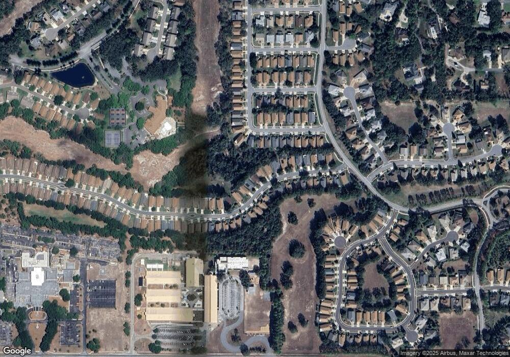
Map
Nearby Homes
- 280 Quane Ave
- 371 Quane Ave
- 232 Center Oak Cir
- 11330 Leeds Dr
- 0 Centerwood Ave Unit 25644930
- 0 Centerwood Ave Unit MFRTB8450965
- 11343 Leeds Dr
- 239 Longleaf Ct
- 114 Center Oak Cir
- 453 Candlestone Ct
- 402 & 406 Candlestone Ct
- 401 & 405 Candlestone Ct
- 449 Candlestone Ct
- 320 Mcintosh Ct
- 432 Mistwood Ct
- 11121 Cherrywood Ct
- 412 Mistwood Ct
- 11323 Highlander Ct
- 11078 Heathrow Ave
- 11457 Mcleod St
- 11239 Heathrow Ave
- 11247 Heathrow Ave
- 11251 Heathrow Ave
- 11235 Heathrow Ave
- 11255 Heathrow Ave
- 11246 Heathrow Ave
- 11231 Heathrow Ave
- 11250 Heathrow Ave
- 11238 Heathrow Ave
- 11259 Heathrow Ave
- 315 315 Quane Ave
- 11221 Heathrow Ave
- 11234 Heathrow Ave
- 315 Quane Ave
- 311 Quane Ave
- 11258 Heathrow Ave
- 307 Quane Ave
- 319 Quane Ave
- 11263 Heathrow Ave
- 303 Quane Ave
Your Personal Tour Guide
Ask me questions while you tour the home.