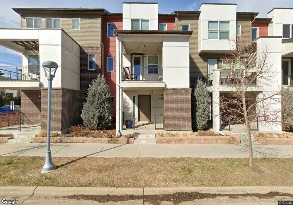
11245 Colony Row Broomfield, CO 80021
Arista NeighborhoodEstimated Value: $433,000 - $529,000
2
Beds
3
Baths
1,243
Sq Ft
$372/Sq Ft
Est. Value
About This Home
This home is located at 11245 Colony Row, Broomfield, CO 80021 and is currently estimated at $462,685, approximately $372 per square foot. 11245 Colony Row is a home located in Broomfield County with nearby schools including Ryan Elementary School, Mandalay Middle School, and Standley Lake High School.
Ownership History
Date
Name
Owned For
Owner Type
Purchase Details
Closed on
Mar 8, 2017
Sold by
Westlake Michael and Westlake Brianna
Bought by
Glissmann Robert V
Current Estimated Value
Home Financials for this Owner
Home Financials are based on the most recent Mortgage that was taken out on this home.
Original Mortgage
$292,000
Outstanding Balance
$242,142
Interest Rate
4.17%
Mortgage Type
New Conventional
Estimated Equity
$220,543
Purchase Details
Closed on
Jan 15, 2016
Sold by
Venue At Arista Llc
Bought by
Westlake Michael and Westlake Brianna
Home Financials for this Owner
Home Financials are based on the most recent Mortgage that was taken out on this home.
Original Mortgage
$256,936
Interest Rate
4.01%
Mortgage Type
New Conventional
Create a Home Valuation Report for This Property
The Home Valuation Report is an in-depth analysis detailing your home's value as well as a comparison with similar homes in the area
Home Values in the Area
Average Home Value in this Area
Purchase History
| Date | Buyer | Sale Price | Title Company |
|---|---|---|---|
| Glissmann Robert V | $365,000 | Equity Title Of Colorado | |
| Westlake Michael | $321,171 | First American |
Source: Public Records
Mortgage History
| Date | Status | Borrower | Loan Amount |
|---|---|---|---|
| Open | Glissmann Robert V | $292,000 | |
| Previous Owner | Westlake Michael | $256,936 |
Source: Public Records
Tax History
| Year | Tax Paid | Tax Assessment Tax Assessment Total Assessment is a certain percentage of the fair market value that is determined by local assessors to be the total taxable value of land and additions on the property. | Land | Improvement |
|---|---|---|---|---|
| 2025 | $5,289 | $32,740 | $7,040 | $25,700 |
| 2024 | $5,289 | $31,160 | $6,290 | $24,870 |
| 2023 | $5,289 | $36,150 | $7,300 | $28,850 |
| 2022 | $4,585 | $26,740 | $5,910 | $20,830 |
| 2021 | $4,706 | $27,510 | $6,080 | $21,430 |
| 2020 | $4,685 | $27,170 | $5,360 | $21,810 |
| 2019 | $4,682 | $27,370 | $5,400 | $21,970 |
| 2018 | $4,120 | $23,630 | $3,600 | $20,030 |
| 2017 | $3,959 | $26,130 | $3,980 | $22,150 |
| 2016 | $2,786 | $4,200 | $4,200 | $0 |
| 2015 | $711 | $1,120 | $1,120 | $0 |
| 2014 | $193 | $2,930 | $2,930 | $0 |
Source: Public Records
Map
Nearby Homes
- 11225 Colony Row
- 11257 Colony Cir
- 11308 Colony Cir
- 11310 Colony Cir
- 8474 Parkland St
- 8508 Redpoint Way
- 11562 Colony Row
- 10892 Zephyr St
- 11800 Colmans Way Unit 16
- 10680 Dover St
- 8005 Emerald Ln
- 7787 W 106th Ave
- 9266 W 107th Place
- 6660 W 112th Place
- 8200 W 106th Approx Ave
- 11364 Marshall Ct
- 11514 Marshall Ct
- 6801 W 118th Ave
- 11084 Newland St
- 123 Emerald St
- 11247 Colony Row
- 11243 Colony Row
- 11249 Colony Row
- 11251 Colony Row
- 11253 Colony Row
- 11217 Colony Cir Unit 60
- 11217 Colony Cir
- 11217 Colony Cir Unit 1260
- 11217 Colony Cir Unit 1154
- 11219 Colony Cir
- 11215 Colony Cir
- 11215 Colony Cir Unit 1259
- 11221 Colony Cir
- 11239 Colony Row
- 11255 Colony Row
- 11223 Colony Cir
- 11237 Colony Row
- 11225 Colony Cir Unit 1264
- 11209 Colony Cir
- 11209 Colony Cir Unit 11209
Your Personal Tour Guide
Ask me questions while you tour the home.