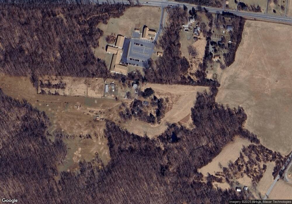
11247 Liberty Rd Randallstown, MD 21133
Estimated Value: $190,000 - $355,291
--
Bed
1
Bath
1,152
Sq Ft
$209/Sq Ft
Est. Value
About This Home
This home is located at 11247 Liberty Rd, Randallstown, MD 21133 and is currently estimated at $241,073, approximately $209 per square foot. 11247 Liberty Rd is a home located in Baltimore County with nearby schools including Hernwood Elementary School, Deer Park Middle Magnet School, and New Town High.
Ownership History
Date
Name
Owned For
Owner Type
Purchase Details
Closed on
Jul 12, 2023
Sold by
Baltimore County Employees Fcu
Bought by
Mount North Capital 1 Llc
Current Estimated Value
Purchase Details
Closed on
Jun 30, 1995
Sold by
Blair Inez C
Bought by
Eaglewood Inc
Home Financials for this Owner
Home Financials are based on the most recent Mortgage that was taken out on this home.
Original Mortgage
$108,000
Interest Rate
7.8%
Create a Home Valuation Report for This Property
The Home Valuation Report is an in-depth analysis detailing your home's value as well as a comparison with similar homes in the area
Home Values in the Area
Average Home Value in this Area
Purchase History
| Date | Buyer | Sale Price | Title Company |
|---|---|---|---|
| Mount North Capital 1 Llc | $87,700 | None Listed On Document | |
| Eaglewood Inc | $128,000 | -- |
Source: Public Records
Mortgage History
| Date | Status | Borrower | Loan Amount |
|---|---|---|---|
| Previous Owner | Eaglewood Inc | $108,000 |
Source: Public Records
Tax History Compared to Growth
Tax History
| Year | Tax Paid | Tax Assessment Tax Assessment Total Assessment is a certain percentage of the fair market value that is determined by local assessors to be the total taxable value of land and additions on the property. | Land | Improvement |
|---|---|---|---|---|
| 2025 | $2,286 | $199,467 | -- | -- |
| 2024 | $2,286 | $189,500 | $89,500 | $100,000 |
| 2023 | $1,140 | $188,167 | $0 | $0 |
| 2022 | $2,244 | $186,833 | $0 | $0 |
| 2021 | $10,635 | $185,500 | $89,500 | $96,000 |
| 2020 | $10,635 | $179,267 | $0 | $0 |
| 2019 | $8,462 | $173,033 | $0 | $0 |
| 2018 | $2,125 | $166,800 | $89,500 | $77,300 |
| 2017 | $2,063 | $166,800 | $0 | $0 |
| 2016 | $2,493 | $166,800 | $0 | $0 |
| 2015 | $2,493 | $168,200 | $0 | $0 |
| 2014 | $2,493 | $168,200 | $0 | $0 |
Source: Public Records
Map
Nearby Homes
- 11120 Liberty Rd
- 11 Liberty Ridge Ct
- 0 Steffeny Rd
- 3904 Wards Chapel Rd
- 10702 Liberty Rd
- 4107 Holbrook Rd
- 4133 Holbrook Rd
- 5010 Wards Chapel Rd
- 4129 Holbrook Rd
- 3900 Falls Run Rd
- 2727 Friday Harbor Dr
- 10520 Marriottsville Rd
- 2536 Arthur Ave
- 0 Deer Park Rd
- 6000 Lancing Dr
- 6004 Lancing Dr
- 5168 Helton Dr
- 6008 Lancing Dr
- 5172 Helton Dr
- 5176 Helton Dr
- 11235 Liberty Rd
- 11301 Liberty Rd
- 0 Liberty Rd Unit 1004496984
- 11243 Liberty Rd
- 11249 Liberty Rd
- 11219 Liberty Rd
- 11217 Liberty Rd
- 11224 Liberty Rd
- 11218 Liberty Rd
- 3 Liberty Ridge Ct
- 2 Liberty Ridge Ct
- 11116 Liberty Rd
- 11212 Liberty Rd
- 4520 Wards Chapel Rd
- 5 Liberty Ridge Ct
- 0 Liberty Rd - the Melony Unit BC7690675
- 0 Liberty Rd - the Melony Unit 1009808322
- 11110 Liberty Rd
- 4522 Wards Chapel Rd Unit CHAPEL
- 4516 Wards Chapel Rd
