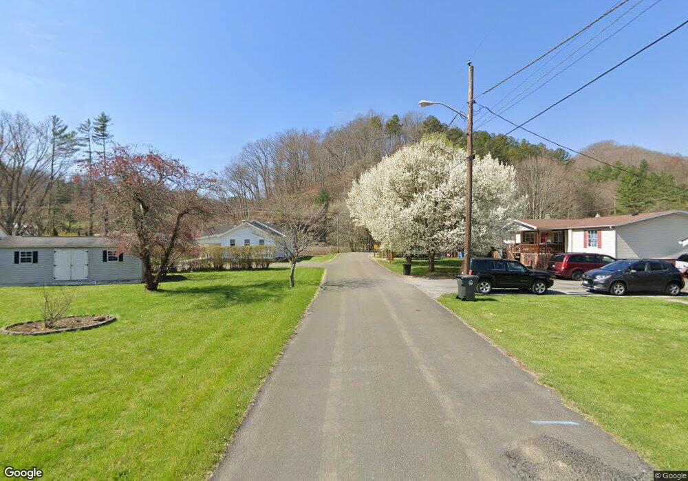
Estimated Value: $127,000 - $174,000
3
Beds
2
Baths
1,440
Sq Ft
$107/Sq Ft
Est. Value
About This Home
This home is located at 11247 Riverside Dr Unit 1, Pound, VA 24279 and is currently estimated at $154,564, approximately $107 per square foot. 11247 Riverside Dr Unit 1 is a home located in Wise County.
Ownership History
Date
Name
Owned For
Owner Type
Purchase Details
Closed on
Jun 30, 2010
Sold by
Church Jack B and Church Dinah R
Bought by
Dales Crystal
Current Estimated Value
Home Financials for this Owner
Home Financials are based on the most recent Mortgage that was taken out on this home.
Original Mortgage
$102,000
Outstanding Balance
$70,758
Interest Rate
5.62%
Mortgage Type
New Conventional
Estimated Equity
$83,806
Purchase Details
Closed on
May 22, 2008
Sold by
Rutherford Gary T
Bought by
Church Jack B and Church Dinah R
Home Financials for this Owner
Home Financials are based on the most recent Mortgage that was taken out on this home.
Original Mortgage
$85,500
Interest Rate
6.1%
Mortgage Type
Credit Line Revolving
Create a Home Valuation Report for This Property
The Home Valuation Report is an in-depth analysis detailing your home's value as well as a comparison with similar homes in the area
Purchase History
| Date | Buyer | Sale Price | Title Company |
|---|---|---|---|
| Dales Crystal | $102,000 | None Available | |
| Church Jack B | $95,000 | None Available |
Source: Public Records
Mortgage History
| Date | Status | Borrower | Loan Amount |
|---|---|---|---|
| Open | Dales Crystal | $102,000 | |
| Previous Owner | Church Jack B | $85,500 |
Source: Public Records
Tax History Compared to Growth
Tax History
| Year | Tax Paid | Tax Assessment Tax Assessment Total Assessment is a certain percentage of the fair market value that is determined by local assessors to be the total taxable value of land and additions on the property. | Land | Improvement |
|---|---|---|---|---|
| 2025 | $758 | $109,900 | $7,000 | $102,900 |
| 2024 | $758 | $109,900 | $7,000 | $102,900 |
| 2023 | $758 | $109,900 | $7,000 | $102,900 |
| 2022 | $758 | $109,900 | $7,000 | $102,900 |
| 2021 | $738 | $106,900 | $7,000 | $99,900 |
| 2020 | $738 | $106,900 | $7,000 | $99,900 |
| 2019 | $738 | $106,900 | $7,000 | $99,900 |
| 2018 | $663 | $106,900 | $7,000 | $99,900 |
| 2017 | $641 | $106,900 | $7,000 | $99,900 |
| 2016 | $641 | $106,900 | $7,000 | $99,900 |
| 2015 | $321 | $106,900 | $7,000 | $99,900 |
Source: Public Records
Map
Nearby Homes
- 8342 N River Rd
- TBD Indian Creek Rd
- 8835 Maple Rd
- 1121 Miner Rd
- 11510 Dogwood Ln
- 11616 Alfred Cox Rd
- 7914 High Oak Rd
- 11511 Meade Fork Rd
- Tbd Rough Ridge Rd
- 8409 Fleming Valley Ln
- Tbd Clintwood Hwy
- 9616 Mountain Cove Rd
- 9707 Paso Ln
- 8366 Fishman Rd
- 9598 U S 119
- 62 Royal Melbourne Ln
- 27 Valhalla Ave
- 508 Ventura Rd
- 312 Tunnel Rd
- 2493 Dickenson Hwy
- 11247 Riverside Cir
- 11251 Riverside Cir
- 11243 Riverside Cir
- 11248 Riverside Cir
- 11244 Riverside Cir
- 11215 Riverside Cir
- 11213 Riverside Cir
- 11252 Riverside Cir
- 11259 Riverside Dr
- 11259 Riverside Cir
- 11209 Riverside Cir
- 11254 Riverside Cir
- 11221 Riverside Cir
- 11240 Riverside Cir
- 11210 Riverside Cir
- 11212 Riverside Dr
- 11263 Riverside Cir
- 11212 Riverside Cir
- 11206 Riverside Cir
- 11256 Riverside Dr
