Estimated Value: $360,630 - $479,000
--
Bed
1
Bath
2,020
Sq Ft
$199/Sq Ft
Est. Value
About This Home
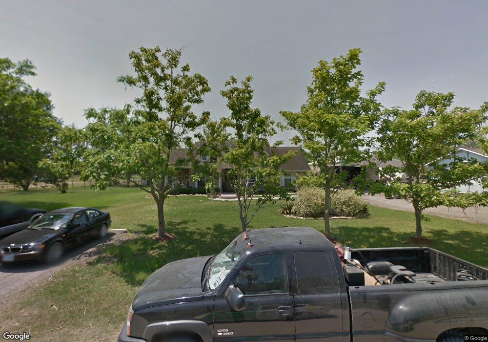
This home is located at 1125 County Road 129, Alvin, TX 77511 and is currently estimated at $401,658, approximately $198 per square foot. 1125 County Road 129 is a home located in Brazoria County with nearby schools including Mark Twain Elementary School, G.W. Harby Junior High School, and Alvin High School.
Ownership History
Date
Name
Owned For
Owner Type
Purchase Details
Closed on
Dec 20, 2012
Sold by
Frank David L and Frank Sandra C
Bought by
Henderson Norfleet L
Current Estimated Value
Home Financials for this Owner
Home Financials are based on the most recent Mortgage that was taken out on this home.
Original Mortgage
$33,600
Interest Rate
3.42%
Mortgage Type
Purchase Money Mortgage
Purchase Details
Closed on
Nov 26, 2002
Sold by
Bennett Sheila A
Bought by
Bennett Jason A
Purchase Details
Closed on
Aug 23, 2001
Sold by
Bennett Sheila A
Bought by
Bennett Jason A
Create a Home Valuation Report for This Property
The Home Valuation Report is an in-depth analysis detailing your home's value as well as a comparison with similar homes in the area
Home Values in the Area
Average Home Value in this Area
Purchase History
| Date | Buyer | Sale Price | Title Company |
|---|---|---|---|
| Henderson Norfleet L | -- | Chicago Title | |
| Bennett Jason A | -- | -- | |
| Bennett Jason A | -- | -- |
Source: Public Records
Mortgage History
| Date | Status | Borrower | Loan Amount |
|---|---|---|---|
| Closed | Henderson Norfleet L | $33,600 |
Source: Public Records
Tax History Compared to Growth
Tax History
| Year | Tax Paid | Tax Assessment Tax Assessment Total Assessment is a certain percentage of the fair market value that is determined by local assessors to be the total taxable value of land and additions on the property. | Land | Improvement |
|---|---|---|---|---|
| 2025 | $4,284 | $341,033 | $30,300 | $345,480 |
| 2023 | $4,284 | $281,845 | $22,730 | $341,730 |
| 2022 | $5,434 | $256,223 | $19,890 | $269,360 |
| 2021 | $5,169 | $232,930 | $18,470 | $214,460 |
| 2020 | $5,242 | $244,410 | $17,050 | $227,360 |
| 2019 | $5,697 | $257,590 | $17,050 | $240,540 |
| 2018 | $5,711 | $257,590 | $17,050 | $240,540 |
| 2017 | $5,372 | $239,270 | $16,340 | $222,930 |
| 2016 | $4,995 | $230,050 | $17,050 | $213,000 |
| 2015 | $3,782 | $202,240 | $9,470 | $192,770 |
| 2014 | $3,782 | $186,340 | $9,470 | $176,870 |
Source: Public Records
Map
Nearby Homes
- 1914 Quinn Rd
- 2243 County Road 130
- 0 County Road 130
- 18120 County Road 127
- 5350 N Highway 35
- 2082 Wilderness Trail
- 153 Mooney Rd
- 902 Longleaf Ct
- 158 Mooney Rd
- 205 Del Monte Dr
- 0000 N Highway 35
- 18118 County Road 125
- 1208 Cowards Creek Dr
- 1204 Cowards Creek Dr
- 17903 County Road 125
- 17810 County Road 125
- 607 Fernwood Dr
- 1404 Blueberry Ln
- 1412 Cambridge Dr
- 1501 W Castlewood Ave
- 1135 County Road 129
- 1135 Cr 129
- 1014 County Road 129
- 1129 County Road 129
- 1129 Cr 129
- 1131 County Road 129
- 129 County Road 129
- 1020 County Road 129
- 0 Hwy 35 Unit 35571
- 0 Hwy35 S
- 0 Hwy 35 Unit 8541989
- 1010 County Road 129
- 939 County Road 129
- 938 Cr 129
- 18219 W Kimball Ln
- 938 County Road 129
- 918 County Road 129
- 1147 County Road 129
- 911 County Road 129
- 18313 W Clover Ln