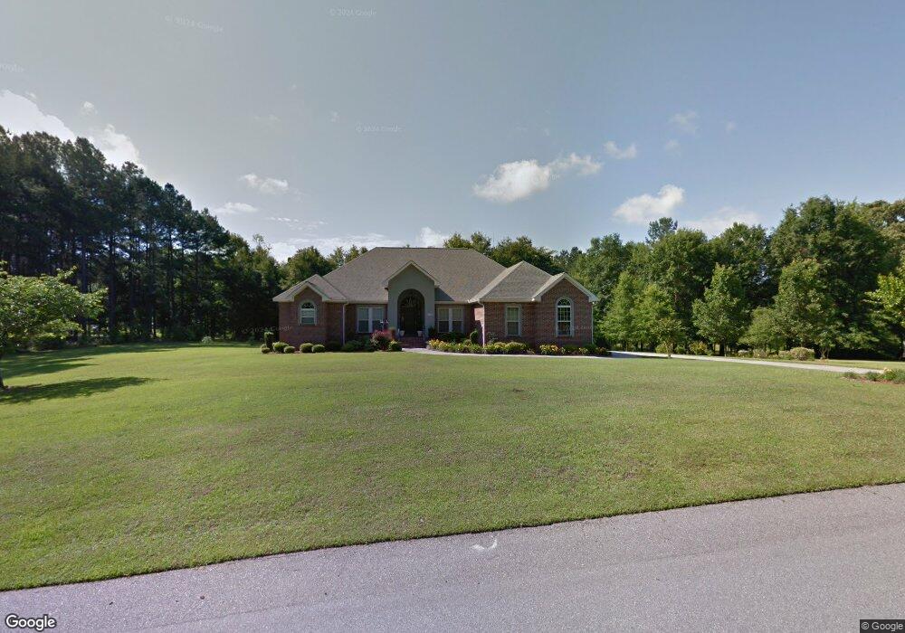
1125 Dunham St Orangeburg, SC 29118
Estimated Value: $379,000 - $500,000
4
Beds
3
Baths
2,770
Sq Ft
$158/Sq Ft
Est. Value
About This Home
This home is located at 1125 Dunham St, Orangeburg, SC 29118 and is currently estimated at $437,054, approximately $157 per square foot. 1125 Dunham St is a home located in Orangeburg County with nearby schools including Marshall Elementary School, Marshall Elementary, and William J. Clark Middle School.
Ownership History
Date
Name
Owned For
Owner Type
Purchase Details
Closed on
Aug 13, 2018
Sold by
Sistrunk Julius C
Bought by
Pepper Anthony
Current Estimated Value
Purchase Details
Closed on
Mar 30, 2016
Sold by
Massoudi Rahullah and Massoudi Farideh
Bought by
Sistrunk Julius C and Sistrunk Evelyn B
Home Financials for this Owner
Home Financials are based on the most recent Mortgage that was taken out on this home.
Original Mortgage
$270,000
Interest Rate
3.64%
Mortgage Type
VA
Create a Home Valuation Report for This Property
The Home Valuation Report is an in-depth analysis detailing your home's value as well as a comparison with similar homes in the area
Home Values in the Area
Average Home Value in this Area
Purchase History
| Date | Buyer | Sale Price | Title Company |
|---|---|---|---|
| Pepper Anthony | -- | None Available | |
| Sistrunk Julius C | $270,000 | None Available |
Source: Public Records
Mortgage History
| Date | Status | Borrower | Loan Amount |
|---|---|---|---|
| Previous Owner | Sistrunk Julius C | $270,000 |
Source: Public Records
Tax History Compared to Growth
Tax History
| Year | Tax Paid | Tax Assessment Tax Assessment Total Assessment is a certain percentage of the fair market value that is determined by local assessors to be the total taxable value of land and additions on the property. | Land | Improvement |
|---|---|---|---|---|
| 2024 | -- | $15,844 | $1,792 | $14,052 |
| 2023 | -- | $12,052 | $1,600 | $10,452 |
| 2022 | $0 | $12,052 | $1,600 | $10,452 |
| 2021 | -- | $12,052 | $1,600 | $10,452 |
| 2020 | $0 | $12,052 | $1,600 | $10,452 |
| 2019 | $0 | $12,052 | $1,600 | $10,452 |
| 2018 | $0 | $11,952 | $1,600 | $10,352 |
| 2017 | $6,636 | $11,952 | $0 | $0 |
| 2016 | $6,635 | $17,928 | $0 | $0 |
| 2015 | $1,421 | $17,928 | $0 | $0 |
| 2014 | $1,421 | $17,928 | $2,400 | $15,528 |
| 2013 | -- | $12,156 | $1,600 | $10,556 |
Source: Public Records
Map
Nearby Homes
- 0 Ramsgate Dr Unit 24022640
- 1332 Dogwood Dr
- 1039 Berkeley Dr
- 4414 Ramsgate Dr
- 4480 Deerfield Dr
- 1286 Dogwood Dr
- 1215 Dogwood Dr
- 0 Columbia Rd Unit 24022676
- 134 Tanniger Ln
- 114 Ginger Lake Dr
- 119 Ginger Lake Dr
- 4265 Columbia Rd
- 408 Grasshopper Ct
- 4405 Cricket Dr
- 104 Knollwood Ct
- 2042 Clifton Cir
- 4057 Creekmoor Dr
- 4098 Slaughter Dr
- 113 Ginger Unit Subdivision
- 1501 Harris Dr
- 0 Dunham St Unit 210787
- 0 Dunham St Unit 900440
- 0 Dunham St Unit 45200
- 0 Dunham St Unit 37427
- 0 Dunham Rd
- 4453 Ramsgate Dr
- 1137 Dunham St
- 1149 Dunham St
- 1090 Dunham St
- 1090 Dunham St
- 4440 Ramsgate Dr
- 1011 Dunham St
- 1102 Dunham St
- 4437 Ramsgate Dr
- 4437 Ramsgate Dr
- 4437 Ramsgate Dr
- 4437 Ramsgate Dr
- 4437 Ramsgate Dr
- 4437 Ramsgate Dr
- 0 Ramsgate Dr Unit 900036