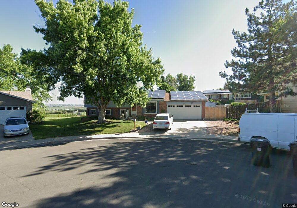
1125 Maple Ct Broomfield, CO 80020
Lac Amora NeighborhoodEstimated Value: $566,436 - $643,000
3
Beds
2
Baths
1,827
Sq Ft
$327/Sq Ft
Est. Value
About This Home
This home is located at 1125 Maple Ct, Broomfield, CO 80020 and is currently estimated at $597,145, approximately $326 per square foot. 1125 Maple Ct is a home located in Broomfield County with nearby schools including Aspen Creek K-8 School, Broomfield High School, and Nativity: Faith and Reason.
Ownership History
Date
Name
Owned For
Owner Type
Purchase Details
Closed on
Nov 29, 2019
Sold by
Fox Karen R
Bought by
Fox Karen S Russell
Current Estimated Value
Home Financials for this Owner
Home Financials are based on the most recent Mortgage that was taken out on this home.
Original Mortgage
$316,350
Outstanding Balance
$278,908
Interest Rate
3.6%
Mortgage Type
New Conventional
Estimated Equity
$318,237
Purchase Details
Closed on
Feb 23, 2018
Sold by
Fox Eric S
Bought by
Fox Karen R
Home Financials for this Owner
Home Financials are based on the most recent Mortgage that was taken out on this home.
Original Mortgage
$268,000
Interest Rate
4.04%
Mortgage Type
New Conventional
Purchase Details
Closed on
Jul 21, 1998
Purchase Details
Closed on
Jun 8, 1988
Purchase Details
Closed on
Jul 6, 1987
Create a Home Valuation Report for This Property
The Home Valuation Report is an in-depth analysis detailing your home's value as well as a comparison with similar homes in the area
Home Values in the Area
Average Home Value in this Area
Purchase History
| Date | Buyer | Sale Price | Title Company |
|---|---|---|---|
| Fox Karen S Russell | -- | None Available | |
| Fox Karen R | -- | None Available | |
| -- | $153,000 | -- | |
| -- | $88,200 | -- | |
| -- | $80,200 | -- |
Source: Public Records
Mortgage History
| Date | Status | Borrower | Loan Amount |
|---|---|---|---|
| Open | Fox Karen S Russell | $316,350 | |
| Closed | Fox Karen R | $268,000 |
Source: Public Records
Tax History Compared to Growth
Tax History
| Year | Tax Paid | Tax Assessment Tax Assessment Total Assessment is a certain percentage of the fair market value that is determined by local assessors to be the total taxable value of land and additions on the property. | Land | Improvement |
|---|---|---|---|---|
| 2025 | $3,604 | $37,830 | $9,410 | $28,420 |
| 2024 | $3,604 | $38,460 | $8,580 | $29,880 |
| 2023 | $3,597 | $43,730 | $9,760 | $33,970 |
| 2022 | $3,053 | $31,580 | $6,870 | $24,710 |
| 2021 | $3,037 | $32,480 | $7,060 | $25,420 |
| 2020 | $2,657 | $28,240 | $6,690 | $21,550 |
| 2019 | $2,652 | $30,910 | $7,130 | $23,780 |
| 2018 | $2,367 | $25,080 | $4,800 | $20,280 |
| 2017 | $2,331 | $27,730 | $5,310 | $22,420 |
| 2016 | $2,002 | $21,230 | $5,310 | $15,920 |
| 2015 | $1,933 | $17,930 | $5,310 | $12,620 |
| 2014 | $1,669 | $17,930 | $5,310 | $12,620 |
Source: Public Records
Map
Nearby Homes
- 1043 Lilac Ct
- 1087 Lilac St
- 3132 W 10th Avenue Place
- 1179 Lilac St
- 880 Lilac St
- 2340 Rim Dr
- 2150 Ridge Dr
- 2191 Ridge Dr
- 639 Quartz Way
- 1010 Opal St Unit 102
- 1740 W 6th Ave
- 1320 W 12th Ave
- 1148 Opal St Unit 101
- 1176 Opal St Unit 104
- 1176 Opal St Unit 102
- 1196 Opal St Unit 201
- 1190 W 11th Ct
- 1196 Sunset Dr
- 1035 Iris St
- 680 Kalmia Way