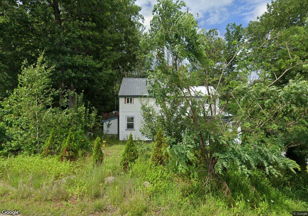
1125 N High St Bridgton, ME 04009
Estimated Value: $177,656 - $414,000
5
Beds
1
Bath
1,908
Sq Ft
$155/Sq Ft
Est. Value
About This Home
This home is located at 1125 N High St, Bridgton, ME 04009 and is currently estimated at $296,164, approximately $155 per square foot. 1125 N High St is a home located in Cumberland County with nearby schools including Lake Region High School.
Ownership History
Date
Name
Owned For
Owner Type
Purchase Details
Closed on
Jul 5, 2005
Sold by
Moore Ruth G
Bought by
Barnes Robert J
Current Estimated Value
Home Financials for this Owner
Home Financials are based on the most recent Mortgage that was taken out on this home.
Original Mortgage
$20,000
Interest Rate
5.73%
Mortgage Type
Purchase Money Mortgage
Create a Home Valuation Report for This Property
The Home Valuation Report is an in-depth analysis detailing your home's value as well as a comparison with similar homes in the area
Home Values in the Area
Average Home Value in this Area
Purchase History
| Date | Buyer | Sale Price | Title Company |
|---|---|---|---|
| Barnes Robert J | -- | -- |
Source: Public Records
Mortgage History
| Date | Status | Borrower | Loan Amount |
|---|---|---|---|
| Closed | Barnes Robert J | $20,000 |
Source: Public Records
Tax History Compared to Growth
Tax History
| Year | Tax Paid | Tax Assessment Tax Assessment Total Assessment is a certain percentage of the fair market value that is determined by local assessors to be the total taxable value of land and additions on the property. | Land | Improvement |
|---|---|---|---|---|
| 2024 | $1,198 | $70,269 | $33,000 | $37,269 |
| 2023 | $1,209 | $70,269 | $33,000 | $37,269 |
| 2022 | $1,068 | $70,269 | $33,000 | $37,269 |
| 2021 | $1,040 | $70,269 | $33,000 | $37,269 |
| 2020 | $1,051 | $70,269 | $33,000 | $37,269 |
| 2019 | $1,054 | $70,269 | $33,000 | $37,269 |
| 2018 | $1,040 | $70,269 | $33,000 | $37,269 |
| 2017 | $1,075 | $70,269 | $33,000 | $37,269 |
| 2016 | $4,229 | $70,269 | $33,000 | $37,269 |
| 2015 | $1,277 | $92,846 | $38,389 | $54,457 |
| 2014 | $1,305 | $92,846 | $38,389 | $54,457 |
Source: Public Records
Map
Nearby Homes
- 4 Mountain Rd Unit 4
- 5 Elk Ln
- 10 N Bay Rd
- 188 Knights Hill Rd
- 11 Campbell Dr
- 6 E Pinnacle Rd Unit 6
- 144 Kezar Heights
- 28 Colony Ln
- 97 Kezar Heights
- 31 Helena Way
- Lot 3 Jameson Dr
- 699 N North High St
- Lot 1 Whitney Rd
- Map20Lot19 Carter Hill Rd
- 665 N High St
- 1376 Bridgton Rd
- 260 Hio Ridge Rd
- 380 Hio Ridge Rd
- 294 Hio Ridge Shores S
- 515 Sweden Rd
- 1143 N High St
- 19 Stack Em Inn Rd
- 1 Knights Hill
- 18 Stack Em Inn Rd
- 12 Stack Em Inn Rd
- 8 Stack Em Inn Rd
- 000 Knights Hill Rd
- 0000 Knights Hill Rd
- 0 Knight's Hill Rd
- 0 Knights Hill
- 00 Off Knights Hill Rd
- 0 Overlook Rd Knights Hill Rd Unit 989360
- Lot 8 Knights Hill Rd
- 20 Stack Em Inn Rd
- 18 Mitchell Ln
- 52 Alpine Rd
- 12 Mitchell Ln
- 1090 N High St
- 24 Stack Em Inn Rd
- 54 Alpine Rd