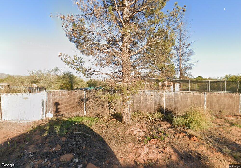
1125 S Sheepshead Crossing Rd Cornville, AZ 86325
Estimated Value: $648,000 - $860,000
3
Beds
--
Bath
3,112
Sq Ft
$251/Sq Ft
Est. Value
About This Home
This home is located at 1125 S Sheepshead Crossing Rd, Cornville, AZ 86325 and is currently estimated at $779,966, approximately $250 per square foot. 1125 S Sheepshead Crossing Rd is a home with nearby schools including Oak Creek School, Cottonwood Community School, and Cottonwood Middle School.
Ownership History
Date
Name
Owned For
Owner Type
Purchase Details
Closed on
Apr 28, 2004
Sold by
Vance Carol and Vance Keith Judith
Bought by
Harvey Wes and Harvey Billy
Current Estimated Value
Purchase Details
Closed on
Apr 17, 1997
Sold by
Satterlee Mary Marie
Bought by
Keith Judith and Vance Carol
Home Financials for this Owner
Home Financials are based on the most recent Mortgage that was taken out on this home.
Original Mortgage
$120,000
Interest Rate
8.08%
Mortgage Type
New Conventional
Create a Home Valuation Report for This Property
The Home Valuation Report is an in-depth analysis detailing your home's value as well as a comparison with similar homes in the area
Home Values in the Area
Average Home Value in this Area
Purchase History
| Date | Buyer | Sale Price | Title Company |
|---|---|---|---|
| Harvey Wes | $230,000 | Pioneer Title Agency | |
| Keith Judith | $150,000 | First American Title Ins |
Source: Public Records
Mortgage History
| Date | Status | Borrower | Loan Amount |
|---|---|---|---|
| Previous Owner | Keith Judith | $120,000 |
Source: Public Records
Tax History Compared to Growth
Tax History
| Year | Tax Paid | Tax Assessment Tax Assessment Total Assessment is a certain percentage of the fair market value that is determined by local assessors to be the total taxable value of land and additions on the property. | Land | Improvement |
|---|---|---|---|---|
| 2026 | $3,011 | $69,107 | -- | -- |
| 2024 | $2,893 | $66,657 | -- | -- |
| 2023 | $2,893 | $56,265 | $19,124 | $37,141 |
| 2022 | $2,843 | $41,179 | $10,943 | $30,236 |
| 2021 | $2,970 | $38,157 | $10,185 | $27,972 |
| 2020 | $2,915 | $0 | $0 | $0 |
| 2019 | $2,864 | $0 | $0 | $0 |
| 2018 | $2,748 | $0 | $0 | $0 |
| 2017 | $2,628 | $0 | $0 | $0 |
| 2016 | $2,561 | $0 | $0 | $0 |
| 2015 | -- | $0 | $0 | $0 |
| 2014 | -- | $0 | $0 | $0 |
Source: Public Records
Map
Nearby Homes
- 9420 E Cornville Rd
- 9280 E Cornville Rd
- 1265 S Tuff Cody Trail
- 9750 E Garden Ln
- 10170 S Mels Rd
- 960 N Aspaas Rd
- 1385 S Loy Rd
- 1500 Whatever Way
- 10465 E Creekview Dr
- 10425 E Willow Dr
- 1800 S Loy Rd
- 0 S Loy St Unit 6928292
- 10875 E Stingray Ln
- 9955 E Maggie Ln
- 10885 E Pear Tree Dr
- 4444 S Western Dr Unit 573
- 10883 E Pear Tree Dr Unit 14
- 10881 E Pear Tree Dr Unit 15
- 11310 E Circle Dr
- 11365 E Adams Ln