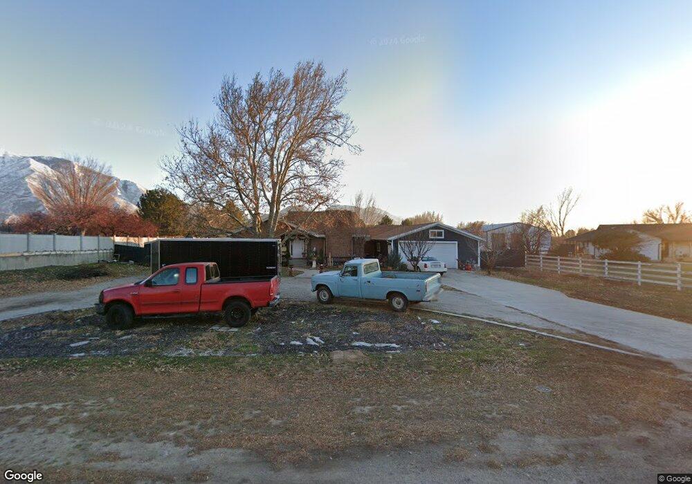
1125 W 1200 N Mapleton, UT 84664
Estimated Value: $764,000 - $860,000
7
Beds
4
Baths
3,736
Sq Ft
$213/Sq Ft
Est. Value
About This Home
This home is located at 1125 W 1200 N, Mapleton, UT 84664 and is currently estimated at $794,918, approximately $212 per square foot. 1125 W 1200 N is a home located in Utah County with nearby schools including Mapleton School, Mapleton Junior High School, and Maple Mountain High School.
Ownership History
Date
Name
Owned For
Owner Type
Purchase Details
Closed on
May 24, 2021
Sold by
Harding Max
Bought by
Maxler Properties Llc
Current Estimated Value
Home Financials for this Owner
Home Financials are based on the most recent Mortgage that was taken out on this home.
Original Mortgage
$487,500
Outstanding Balance
$440,408
Interest Rate
2.9%
Mortgage Type
New Conventional
Estimated Equity
$354,510
Purchase Details
Closed on
May 20, 2021
Sold by
Nava Maria G and Arena Jonathan P
Bought by
Harding Max
Home Financials for this Owner
Home Financials are based on the most recent Mortgage that was taken out on this home.
Original Mortgage
$487,500
Outstanding Balance
$440,408
Interest Rate
2.9%
Mortgage Type
New Conventional
Estimated Equity
$354,510
Purchase Details
Closed on
Oct 31, 2016
Sold by
Blo Llc Series D
Bought by
Nava Maria Guadalupe
Home Financials for this Owner
Home Financials are based on the most recent Mortgage that was taken out on this home.
Original Mortgage
$282,661
Interest Rate
3.5%
Mortgage Type
FHA
Purchase Details
Closed on
Oct 28, 2016
Sold by
Nava Maria Guadalupe
Bought by
Nava Maria G
Home Financials for this Owner
Home Financials are based on the most recent Mortgage that was taken out on this home.
Original Mortgage
$282,661
Interest Rate
3.5%
Mortgage Type
FHA
Purchase Details
Closed on
Sep 2, 2015
Sold by
Olsen Burton K
Bought by
Blo Llc
Purchase Details
Closed on
Apr 19, 2010
Sold by
Olsen Burton K
Bought by
Blo Llc Series D
Purchase Details
Closed on
Feb 8, 2006
Sold by
Wells Fargo Bank Minnesota Na
Bought by
Olsen Burton K
Home Financials for this Owner
Home Financials are based on the most recent Mortgage that was taken out on this home.
Original Mortgage
$225,623
Interest Rate
7.62%
Mortgage Type
Fannie Mae Freddie Mac
Purchase Details
Closed on
Jan 20, 2005
Sold by
Mulder Robert and Mulder Tamara
Bought by
Mortgage Electronic Registration Systems
Purchase Details
Closed on
Oct 5, 2004
Sold by
Mulder Robert and Mulder Tamara
Bought by
Pembina Nation Little Shell Band Of Nort
Purchase Details
Closed on
May 28, 1998
Sold by
Oates Barry and Oates Karen
Bought by
Mulder Robert and Mulder Tamara
Create a Home Valuation Report for This Property
The Home Valuation Report is an in-depth analysis detailing your home's value as well as a comparison with similar homes in the area
Home Values in the Area
Average Home Value in this Area
Purchase History
| Date | Buyer | Sale Price | Title Company |
|---|---|---|---|
| Maxler Properties Llc | -- | 1St Liberty Title Llc | |
| Harding Max | -- | Us Title Insurance Agency | |
| Nava Maria Guadalupe | -- | 1St Liberty Title Llc | |
| Nava Maria G | -- | 1St Liberty Title Lc | |
| Blo Llc | -- | 1St Liberty Title Lc | |
| Blo Llc Series D | -- | None Available | |
| Olsen Burton K | -- | First American Title Agency | |
| Wells Fargo Bank Minnesota Na | -- | First American Title Agency | |
| Mortgage Electronic Registration Systems | $216,000 | -- | |
| Pembina Nation Little Shell Band Of Nort | -- | -- | |
| Mulder Robert | -- | -- |
Source: Public Records
Mortgage History
| Date | Status | Borrower | Loan Amount |
|---|---|---|---|
| Open | Harding Max | $487,500 | |
| Previous Owner | Nava Maria Guadalupe | $282,661 | |
| Previous Owner | Olsen Burton K | $225,623 |
Source: Public Records
Tax History
| Year | Tax Paid | Tax Assessment Tax Assessment Total Assessment is a certain percentage of the fair market value that is determined by local assessors to be the total taxable value of land and additions on the property. | Land | Improvement |
|---|---|---|---|---|
| 2025 | $3,617 | $366,245 | -- | -- |
| 2024 | $3,617 | $354,310 | $0 | $0 |
| 2023 | $3,822 | $376,805 | $0 | $0 |
| 2022 | $3,848 | $375,100 | $0 | $0 |
| 2021 | $3,197 | $478,400 | $200,100 | $278,300 |
| 2020 | $3,146 | $455,400 | $177,100 | $278,300 |
| 2019 | $2,788 | $412,000 | $170,000 | $242,000 |
| 2018 | $2,553 | $359,100 | $143,100 | $216,000 |
| 2017 | $2,491 | $185,955 | $0 | $0 |
| 2016 | $2,243 | $166,430 | $0 | $0 |
| 2015 | $2,156 | $159,005 | $0 | $0 |
| 2014 | $1,999 | $144,815 | $0 | $0 |
Source: Public Records
Map
Nearby Homes
- 405 W 1200 N Unit 4
- 487 W 1200 N Unit 1
- 1410 W 1200 N
- 1121 W 1800 N
- 1446 W 600 N Unit 5
- 1512 W 600 N Unit 4
- 667 N 550 W
- 598 W 1600 N
- 572 W 500 N
- 1631 W Century Ln Unit B
- 754 W 400 N Unit 29
- 1697 N 500 W
- 1836 W 800 N
- 648 W 400 N
- 1896 W 800 N
- 641 N Heritage St Unit 8
- 599 N Heritage St Unit 6
- 581 N Heritage St Unit 5
- 657 N Heritage St Unit 9
- 683 N Heritage St
- 1155 W 1200 N
- 1045 W 1200 N
- 1204 N 1200 W Unit 10
- 1130 W 1200 N
- 1146 W 1200 N Unit 1
- 853 N 1200 W
- 1201 N 1200 W Unit 8
- 1203 N 1200 W Unit 9
- 1046 W 1050 N
- 998 W 1050 N
- 1227 W 1200 N
- 1068 W 1050 N
- 1272 N 1200 W
- 1250 N 1200 W
- 1094 W 1050 N
- 983 W 1200 N Unit 7
- 1248 W 1200 N Unit 59
- 982 W 1200 N Unit 6
- 980 W 1200 N Unit 5
- 1237 N 1200 W Unit RR2
Your Personal Tour Guide
Ask me questions while you tour the home.